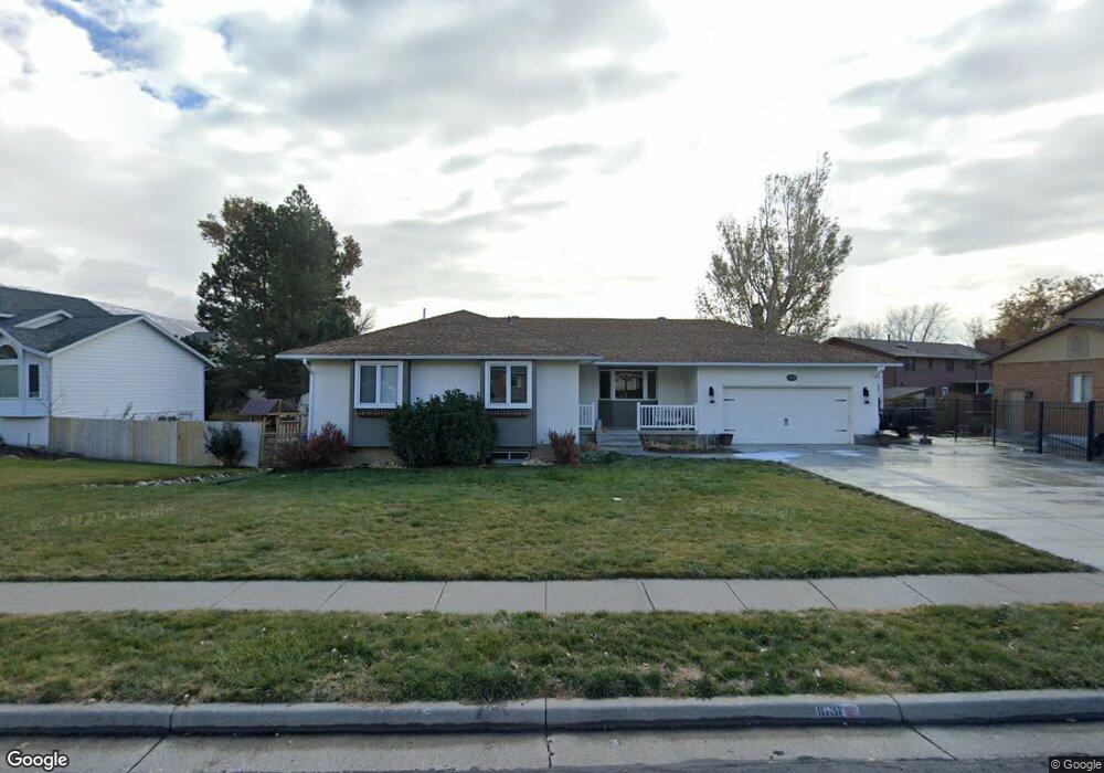
1631 W 1410 N Farmington, UT 84025
Estimated Value: $598,000 - $691,000
5
Beds
3
Baths
2,876
Sq Ft
$219/Sq Ft
Est. Value
About This Home
This home is located at 1631 W 1410 N, Farmington, UT 84025 and is currently estimated at $630,248, approximately $219 per square foot. 1631 W 1410 N is a home located in Davis County with nearby schools including Knowlton Elementary School, Farmington High, and Farmington Junior High School.
Ownership History
Date
Name
Owned For
Owner Type
Purchase Details
Closed on
Dec 15, 2016
Sold by
Stringfellow Scott V and Stringfellow Julie P
Bought by
Reese Dane J and Reese Whitley A
Current Estimated Value
Home Financials for this Owner
Home Financials are based on the most recent Mortgage that was taken out on this home.
Original Mortgage
$304,000
Outstanding Balance
$247,979
Interest Rate
3.94%
Mortgage Type
New Conventional
Estimated Equity
$382,269
Create a Home Valuation Report for This Property
The Home Valuation Report is an in-depth analysis detailing your home's value as well as a comparison with similar homes in the area
Home Values in the Area
Average Home Value in this Area
Purchase History
| Date | Buyer | Sale Price | Title Company |
|---|---|---|---|
| Reese Dane J | -- | Security Title |
Source: Public Records
Mortgage History
| Date | Status | Borrower | Loan Amount |
|---|---|---|---|
| Open | Reese Dane J | $304,000 |
Source: Public Records
Tax History Compared to Growth
Tax History
| Year | Tax Paid | Tax Assessment Tax Assessment Total Assessment is a certain percentage of the fair market value that is determined by local assessors to be the total taxable value of land and additions on the property. | Land | Improvement |
|---|---|---|---|---|
| 2025 | $3,074 | $303,600 | $189,448 | $114,152 |
| 2024 | $2,954 | $295,350 | $161,562 | $133,788 |
| 2023 | $2,788 | $508,000 | $270,462 | $237,538 |
| 2022 | $2,849 | $294,800 | $126,489 | $168,311 |
| 2021 | $2,681 | $413,000 | $177,071 | $235,929 |
| 2020 | $2,417 | $363,000 | $127,694 | $235,306 |
| 2019 | $2,478 | $361,000 | $150,531 | $210,469 |
| 2018 | $2,299 | $330,000 | $134,906 | $195,094 |
| 2016 | $2,239 | $165,440 | $48,980 | $116,460 |
| 2015 | $2,112 | $148,060 | $48,980 | $99,080 |
| 2014 | $1,852 | $133,451 | $48,980 | $84,471 |
| 2013 | -- | $145,149 | $40,962 | $104,187 |
Source: Public Records
Map
Nearby Homes
- 1181 Set Ct Unit 2
- 1406 Swinton Ln
- 1762 S 350 E
- 1563 Oakridge Park Dr
- 1212 Pinehurst Cir
- 1372 Sweetwater Ln
- 1177 Shepard Ln
- 926 N 1875 W
- 1450 S 400 E
- 1175 W 1875 N
- 1944 Kerrybrook Dr
- 1090 N Shepard Creek Pkwy Unit 6
- 1048 Shepard Creek Pkwy Unit 4
- 830 E 1250 S
- 1241 S 700 E
- 245 E 1400 S
- 1843 W Burke Ln Unit 103
- 1008 N Shepard Creek Pkwy Unit 5
- 2081 Colt Dr
- Major League Roof Deck + Basement Plan at Station Park