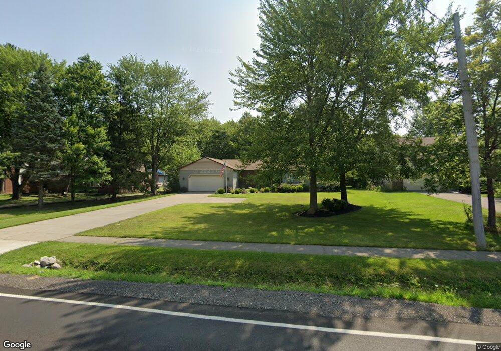
16311 Howe Rd Strongsville, OH 44136
Estimated Value: $343,947 - $357,000
3
Beds
2
Baths
1,906
Sq Ft
$182/Sq Ft
Est. Value
About This Home
This home is located at 16311 Howe Rd, Strongsville, OH 44136 and is currently estimated at $347,487, approximately $182 per square foot. 16311 Howe Rd is a home located in Cuyahoga County with nearby schools including Strongsville High School and Sts Joseph & John Interparochial School.
Ownership History
Date
Name
Owned For
Owner Type
Purchase Details
Closed on
Feb 25, 2023
Sold by
Nicolay Thomas A and Nicolay Lisa A
Bought by
Nicolay Thomas A and Nicolay Lisa A
Current Estimated Value
Purchase Details
Closed on
Jun 17, 2008
Sold by
Nicolay Barbara A
Bought by
Nicolay Thomas A
Home Financials for this Owner
Home Financials are based on the most recent Mortgage that was taken out on this home.
Original Mortgage
$141,000
Interest Rate
6.05%
Mortgage Type
New Conventional
Purchase Details
Closed on
May 20, 1988
Bought by
Nicolay Thomas Ajr
Purchase Details
Closed on
Jan 1, 1987
Bought by
Dennis Financial Corp
Create a Home Valuation Report for This Property
The Home Valuation Report is an in-depth analysis detailing your home's value as well as a comparison with similar homes in the area
Home Values in the Area
Average Home Value in this Area
Purchase History
| Date | Buyer | Sale Price | Title Company |
|---|---|---|---|
| Nicolay Thomas A | -- | None Listed On Document | |
| Nicolay Thomas A | -- | Maximum Title | |
| Nicolay Thomas Ajr | $118,000 | -- | |
| Dennis Financial Corp | -- | -- |
Source: Public Records
Mortgage History
| Date | Status | Borrower | Loan Amount |
|---|---|---|---|
| Previous Owner | Nicolay Thomas A | $141,000 |
Source: Public Records
Tax History Compared to Growth
Tax History
| Year | Tax Paid | Tax Assessment Tax Assessment Total Assessment is a certain percentage of the fair market value that is determined by local assessors to be the total taxable value of land and additions on the property. | Land | Improvement |
|---|---|---|---|---|
| 2024 | $5,232 | $111,440 | $21,840 | $89,600 |
| 2023 | $5,140 | $82,080 | $16,520 | $65,560 |
| 2022 | $5,103 | $82,075 | $16,520 | $65,555 |
| 2021 | $5,063 | $82,080 | $16,520 | $65,560 |
| 2020 | $4,691 | $67,270 | $13,550 | $53,730 |
| 2019 | $4,553 | $192,200 | $38,700 | $153,500 |
| 2018 | $2,066 | $67,270 | $13,550 | $53,730 |
| 2017 | $3,809 | $57,410 | $12,220 | $45,190 |
| 2016 | $3,778 | $57,410 | $12,220 | $45,190 |
| 2015 | $3,832 | $57,410 | $12,220 | $45,190 |
| 2014 | $3,832 | $57,410 | $12,220 | $45,190 |
Source: Public Records
Map
Nearby Homes
- 16450 Howe Rd
- 16650 Lanier Ave
- 14826 Lenox Dr
- 17159 Turkey Meadow Ln
- 17130 Golden Star Dr
- 14703 Lenox Dr Unit 103
- 16486 S Red Rock Dr
- 16969 Antler Ln
- 14558 Drake Rd
- 0 Mill Hollow Ln Unit 5069608
- 18229 Howe Rd
- 0 Shurmer Rd Unit 5108190
- 17029 Eagles Nest Cir
- 17069 Partridge Dr
- 17682 Drake Rd
- 14132 Walking Stick Way
- 18162 Fawn Cir
- 18294 Drake Rd
- 18630 Shurmer Rd
- 18987 Laurell Cir