16314 Jones Branch Rd Winslow, AR 72959
Estimated Value: $491,000 - $1,919,000
--
Bed
4
Baths
3,000
Sq Ft
$408/Sq Ft
Est. Value
About This Home
This home is located at 16314 Jones Branch Rd, Winslow, AR 72959 and is currently estimated at $1,224,550, approximately $408 per square foot. 16314 Jones Branch Rd is a home located in Washington County with nearby schools including Greenland Middle School, Greenland Elementary School, and Greenland High School.
Ownership History
Date
Name
Owned For
Owner Type
Purchase Details
Closed on
Sep 1, 2022
Sold by
Wilson Charles R and Wilson Becky Lynn
Bought by
Crossover Self-Storage Llc
Current Estimated Value
Home Financials for this Owner
Home Financials are based on the most recent Mortgage that was taken out on this home.
Original Mortgage
$500,000
Interest Rate
5.54%
Mortgage Type
Construction
Purchase Details
Closed on
Sep 13, 1991
Bought by
Wilson Charles R
Purchase Details
Closed on
Jan 1, 1985
Bought by
Brown Fred S and Brown D
Create a Home Valuation Report for This Property
The Home Valuation Report is an in-depth analysis detailing your home's value as well as a comparison with similar homes in the area
Home Values in the Area
Average Home Value in this Area
Purchase History
| Date | Buyer | Sale Price | Title Company |
|---|---|---|---|
| Crossover Self-Storage Llc | $1,700,000 | Realty Title | |
| Wilson Charles R | $200,000 | -- | |
| Brown Fred S | -- | -- |
Source: Public Records
Mortgage History
| Date | Status | Borrower | Loan Amount |
|---|---|---|---|
| Closed | Crossover Self-Storage Llc | $500,000 |
Source: Public Records
Tax History Compared to Growth
Tax History
| Year | Tax Paid | Tax Assessment Tax Assessment Total Assessment is a certain percentage of the fair market value that is determined by local assessors to be the total taxable value of land and additions on the property. | Land | Improvement |
|---|---|---|---|---|
| 2025 | $3,069 | $80,820 | $7,720 | $73,100 |
| 2024 | $3,669 | $80,820 | $7,720 | $73,100 |
| 2023 | $3,718 | $80,820 | $7,720 | $73,100 |
| 2022 | $1,638 | $53,580 | $6,430 | $47,150 |
| 2021 | $1,638 | $53,580 | $6,430 | $47,150 |
| 2020 | $1,657 | $53,580 | $6,430 | $47,150 |
| 2019 | $1,581 | $42,130 | $5,970 | $36,160 |
| 2018 | $1,606 | $42,130 | $5,970 | $36,160 |
| 2017 | $1,567 | $42,130 | $5,970 | $36,160 |
| 2016 | $1,585 | $42,130 | $5,970 | $36,160 |
| 2015 | $1,510 | $42,130 | $5,970 | $36,160 |
| 2014 | $1,435 | $38,850 | $4,680 | $34,170 |
Source: Public Records
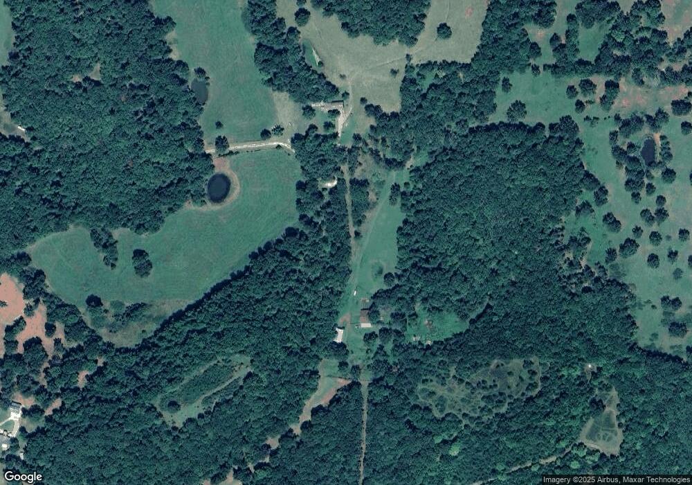
Map
Nearby Homes
- 15459 Whitehouse Rd
- 16801 S Highway 71
- 16712 S Highway 71
- 15731 Parker Branch Rd
- 16618 S Highway 71
- 14710 Summer Shade Rd
- 16075 Chocolate Flats
- 17140 Skelton Rd (Wc 4146)
- TBD Brentwood Mountain Rd
- 14416 & 14425 Truelove Rd
- TBD Truelove Rd
- 14642 Truelove Rd
- 18708 S Highway 71
- 14206 Parker Branch Rd
- 16925 Carpenter Rd
- 15500 Low Gap Rd
- 13829 French Rd
- 14211 Sugar Mountain Rd
- 14161 Low Gap Rd
- 163 Acres Low Gap Rd
- 16514 Whitehouse Rd
- 4117 E Tyson Hog Farm Rd
- 4117 N Tyson Hog Farm Rd
- 16020 Jones Branch Rd
- 16893 Tyson Hog Farm Rd
- 16771 S Whitehouse Rd
- 16812 Highway 74
- 16164 Whitehouse Rd
- 16164 Whitehouse Rd
- 16710 Highway 74
- 16012 Jones Branch Rd
- 0 Hwy 74 35 56a Unit 624246
- 0 Hwy 74 35 56a Unit 672558
- 0 Hwy 74 35 56a Unit 1006711
- 0 Hwy 74 35 56a Unit 1082079
- 16573 Ramey Rd
- 16408 Whitehouse Rd
- 15858 Jones Branch Rd
- 16723 Highway 74
- 16160 Whitehouse Rd