1632 E 6520 S Salt Lake City, UT 84121
Estimated Value: $533,000 - $590,000
3
Beds
4
Baths
2,185
Sq Ft
$258/Sq Ft
Est. Value
About This Home
This home is located at 1632 E 6520 S, Salt Lake City, UT 84121 and is currently estimated at $564,528, approximately $258 per square foot. 1632 E 6520 S is a home located in Salt Lake County with nearby schools including Woodstock Elementary School, Bonneville Junior High School, and Cottonwood High School.
Ownership History
Date
Name
Owned For
Owner Type
Purchase Details
Closed on
Nov 6, 2001
Sold by
Timmerman Gerrit and Timmerman Jacqueline
Bought by
Soutas Robert I and Soutas Jacquelynne R
Current Estimated Value
Home Financials for this Owner
Home Financials are based on the most recent Mortgage that was taken out on this home.
Original Mortgage
$154,000
Outstanding Balance
$60,235
Interest Rate
6.73%
Mortgage Type
Purchase Money Mortgage
Estimated Equity
$504,293
Create a Home Valuation Report for This Property
The Home Valuation Report is an in-depth analysis detailing your home's value as well as a comparison with similar homes in the area
Home Values in the Area
Average Home Value in this Area
Purchase History
| Date | Buyer | Sale Price | Title Company |
|---|---|---|---|
| Soutas Robert I | -- | Brighton Title |
Source: Public Records
Mortgage History
| Date | Status | Borrower | Loan Amount |
|---|---|---|---|
| Open | Soutas Robert I | $154,000 |
Source: Public Records
Tax History Compared to Growth
Tax History
| Year | Tax Paid | Tax Assessment Tax Assessment Total Assessment is a certain percentage of the fair market value that is determined by local assessors to be the total taxable value of land and additions on the property. | Land | Improvement |
|---|---|---|---|---|
| 2025 | $2,455 | $493,800 | $148,100 | $345,700 |
| 2024 | $2,455 | $448,700 | $134,600 | $314,100 |
| 2023 | $2,436 | $428,100 | $128,400 | $299,700 |
| 2022 | $2,468 | $434,400 | $130,300 | $304,100 |
| 2021 | $2,464 | $383,800 | $115,100 | $268,700 |
| 2020 | $2,477 | $367,000 | $110,100 | $256,900 |
| 2019 | $2,526 | $364,100 | $109,200 | $254,900 |
| 2018 | $2,509 | $349,400 | $104,800 | $244,600 |
| 2017 | $1,929 | $301,400 | $90,400 | $211,000 |
| 2016 | $1,923 | $300,700 | $90,200 | $210,500 |
| 2015 | $1,964 | $286,000 | $85,700 | $200,300 |
| 2014 | $1,977 | $283,200 | $84,900 | $198,300 |
Source: Public Records
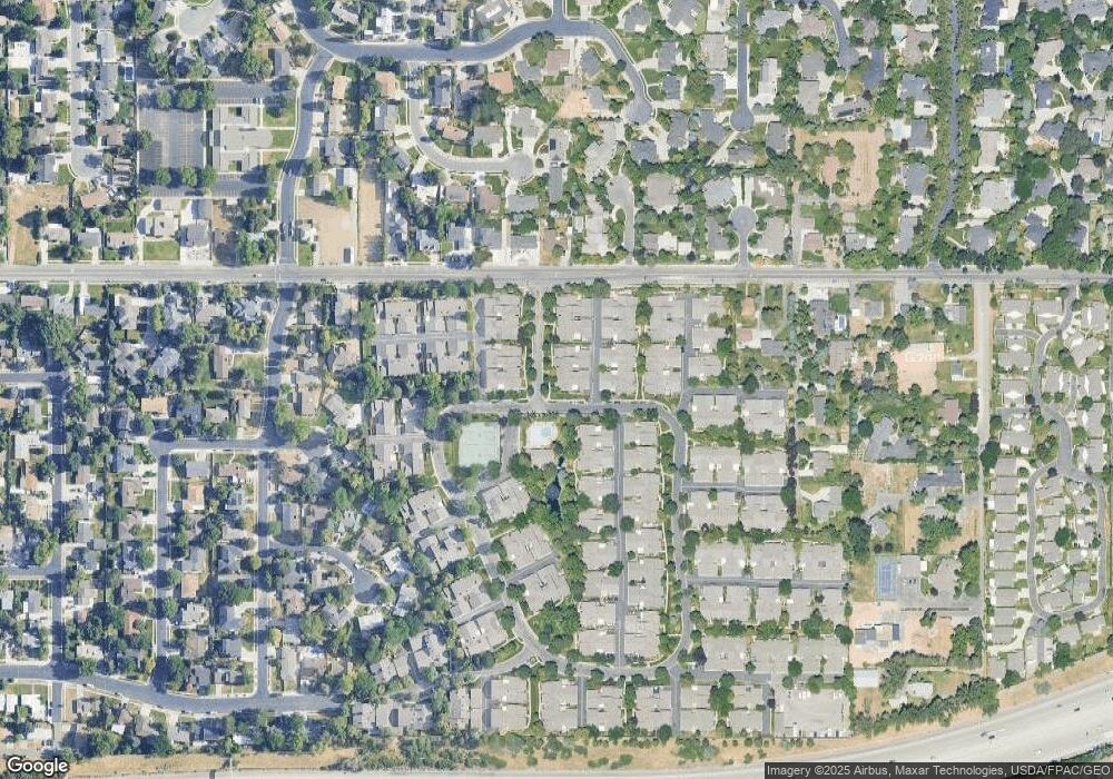
Map
Nearby Homes
- 1585 E 6470 S
- 1581 E 6470 S
- 1706 E 6485 S
- 6414 S 1680 E
- 1575 E 6430 S
- 6427 Rodeo Ln
- 6700 S 1655 E
- 6385 S 1765 E
- 6415 S Tanner Ln
- 6784 S 1530 E
- 1393 E Hickory Ln
- 1837 E Brookhill Dr
- 6294 S Lombardy Dr
- 1870 E Monterey Dr Unit M55
- 6491 S 1300 E
- 1460 E Vintry Cir
- 1952 E Meadow Downs Way
- 1506 Village Rd E
- 1761 E Fort Union Blvd
- 1771 E Fort Union Blvd
- 1634 E 6520 S
- 1626 E 6520 S
- 1624 E 6520 S
- 1631 E 6520 S Unit 60
- 1625 E 6520 S
- 1625 E 6520 S Unit 61
- 1623 E 6520 S
- 1633 E 6520 S
- 6524 S 1660 E
- 6522 S 1660 E
- 6530 S 1660 E
- 6514 S 1660 E
- 6532 S 1660 E
- 6512 S 1660 E
- 1614 E 6535 S
- 6538 S 1660 E
- 1613 E 6535 S
- 6498 S 1655 E
- 1612 E 6535 S
- 1612 E 6535 S Unit 47