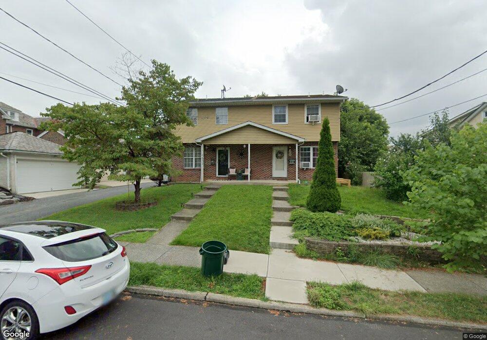
1632 Maple St Bethlehem, PA 18017
Downtown Bethlehem NeighborhoodEstimated Value: $256,009 - $338,000
3
Beds
2
Baths
1,196
Sq Ft
$245/Sq Ft
Est. Value
About This Home
This home is located at 1632 Maple St, Bethlehem, PA 18017 and is currently estimated at $293,502, approximately $245 per square foot. 1632 Maple St is a home located in Northampton County with nearby schools including Lincoln Elementary School, Northeast Middle School, and Liberty High School.
Ownership History
Date
Name
Owned For
Owner Type
Purchase Details
Closed on
Mar 30, 2022
Sold by
Louise Winston Deborah
Bought by
Scott Ashley J and Scott Zachary R
Current Estimated Value
Home Financials for this Owner
Home Financials are based on the most recent Mortgage that was taken out on this home.
Original Mortgage
$190,000
Outstanding Balance
$178,787
Interest Rate
4.42%
Mortgage Type
New Conventional
Estimated Equity
$114,715
Purchase Details
Closed on
Jun 1, 1988
Bought by
Hunt Larry
Purchase Details
Closed on
Jul 1, 1987
Bought by
Not Provided
Create a Home Valuation Report for This Property
The Home Valuation Report is an in-depth analysis detailing your home's value as well as a comparison with similar homes in the area
Home Values in the Area
Average Home Value in this Area
Purchase History
| Date | Buyer | Sale Price | Title Company |
|---|---|---|---|
| Scott Ashley J | $200,000 | None Listed On Document | |
| Hunt Larry | -- | -- | |
| Not Provided | $73,000 | -- |
Source: Public Records
Mortgage History
| Date | Status | Borrower | Loan Amount |
|---|---|---|---|
| Open | Scott Ashley J | $190,000 |
Source: Public Records
Tax History
| Year | Tax Paid | Tax Assessment Tax Assessment Total Assessment is a certain percentage of the fair market value that is determined by local assessors to be the total taxable value of land and additions on the property. | Land | Improvement |
|---|---|---|---|---|
| 2025 | $448 | $41,500 | $14,400 | $27,100 |
| 2024 | $3,668 | $41,500 | $14,400 | $27,100 |
| 2023 | $3,668 | $41,500 | $14,400 | $27,100 |
| 2022 | $3,640 | $41,500 | $14,400 | $27,100 |
| 2021 | $3,615 | $41,500 | $14,400 | $27,100 |
| 2020 | $3,581 | $41,500 | $14,400 | $27,100 |
| 2019 | $3,569 | $41,500 | $14,400 | $27,100 |
| 2018 | $3,482 | $41,500 | $14,400 | $27,100 |
| 2017 | $3,440 | $41,500 | $14,400 | $27,100 |
| 2016 | -- | $41,500 | $14,400 | $27,100 |
| 2015 | -- | $41,500 | $14,400 | $27,100 |
| 2014 | -- | $41,500 | $14,400 | $27,100 |
Source: Public Records
Map
Nearby Homes
- 510 Hickory St
- 918 Marion St
- 1147 Arcadia St
- 315 Carver Dr
- 943 Crawford St
- 2012 Kemmerer St
- 1403 Madison Ave
- 515 E Laurel St
- 1728 Jefferson Ave
- 1037 Maple St
- 1507 High St
- 493 Forrest Ave
- 2328 Linden St
- 2324 Kemmerer St Unit 3
- 2321 Montgomery St
- 211 E Goepp St
- 913 High St
- 1569 Fleming St
- 2236 Lincoln St
- 1417 Lorain Ave
- 1630 Maple St
- 1624 Maple St
- 636 Hamilton Ave
- 634 Hamilton Ave
- 638 Hamilton Ave
- 630 Hamilton Ave
- 640 Hamilton Ave
- 1629 Elm St
- 642 Hamilton Ave
- 1625 Elm St
- 1621 Elm St
- 624 Hamilton Ave
- 1627 Elm St
- 1625 Maple St
- 1639 Elm St
- 1617 Elm St
- 622 Hamilton Ave
- 1619 Maple St
- 535 E Washington Ave
- 537 E Washington Ave
Your Personal Tour Guide
Ask me questions while you tour the home.