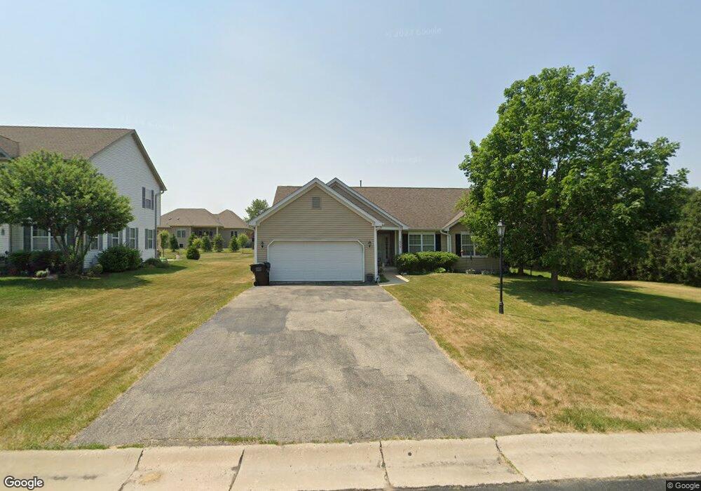
1632 Shumann Dr Union Grove, WI 53182
Estimated Value: $437,000 - $491,000
3
Beds
2
Baths
2,038
Sq Ft
$227/Sq Ft
Est. Value
About This Home
This home is located at 1632 Shumann Dr, Union Grove, WI 53182 and is currently estimated at $462,413, approximately $226 per square foot. 1632 Shumann Dr is a home located in Racine County with nearby schools including Union Grove Elementary School, Union Grove High School, and Union Grove Christian School.
Ownership History
Date
Name
Owned For
Owner Type
Purchase Details
Closed on
Mar 19, 2008
Sold by
Union Grove Ventures Llc
Bought by
Kiiskila Michael R and Kiiskila Carrie M
Current Estimated Value
Home Financials for this Owner
Home Financials are based on the most recent Mortgage that was taken out on this home.
Original Mortgage
$188,700
Outstanding Balance
$117,557
Interest Rate
5.74%
Mortgage Type
New Conventional
Estimated Equity
$344,856
Create a Home Valuation Report for This Property
The Home Valuation Report is an in-depth analysis detailing your home's value as well as a comparison with similar homes in the area
Home Values in the Area
Average Home Value in this Area
Purchase History
| Date | Buyer | Sale Price | Title Company |
|---|---|---|---|
| Kiiskila Michael R | $235,900 | None Available |
Source: Public Records
Mortgage History
| Date | Status | Borrower | Loan Amount |
|---|---|---|---|
| Open | Kiiskila Michael R | $188,700 |
Source: Public Records
Tax History Compared to Growth
Tax History
| Year | Tax Paid | Tax Assessment Tax Assessment Total Assessment is a certain percentage of the fair market value that is determined by local assessors to be the total taxable value of land and additions on the property. | Land | Improvement |
|---|---|---|---|---|
| 2024 | $5,366 | $317,100 | $57,000 | $260,100 |
| 2023 | $5,392 | $317,100 | $57,000 | $260,100 |
| 2022 | $5,576 | $314,700 | $57,000 | $257,700 |
| 2021 | $5,250 | $314,700 | $57,000 | $257,700 |
| 2020 | $5,584 | $269,900 | $52,000 | $217,900 |
| 2019 | $5,785 | $269,900 | $52,000 | $217,900 |
| 2018 | $5,648 | $275,900 | $52,000 | $223,900 |
| 2017 | $5,076 | $237,500 | $65,700 | $171,800 |
| 2016 | $5,090 | $237,500 | $65,700 | $171,800 |
| 2015 | $5,392 | $237,500 | $65,700 | $171,800 |
| 2014 | $5,311 | $237,500 | $65,700 | $171,800 |
| 2013 | $5,536 | $237,500 | $65,700 | $171,800 |
Source: Public Records
Map
Nearby Homes
- 406 Oakhurst Ave
- 1311 Highview Ave
- Lt0 Durand Ave
- 163 11th Ave
- 1041 Bluebird Ln
- 1362 Vine St
- 290 Pheasant Run
- 1344 Vine St
- 1027 Main St
- 1030 Main St
- 1020 Main St
- 102 Walnut Ridge Dr Unit 20
- 927 State St
- 1221 W Kiddle Ln
- 91 York St
- 85 York St
- 305 York St
- 319 York St Unit Lt64
- 1072 5th Ave
- 544 Kiddle Ln
- 1654 Shumann Dr
- 1610 Shumann Dr
- 434 High Groves Ct
- 1676 Shumann Dr
- 436 High Groves Ct
- 1611 Shumann Dr
- 1506 Shumann Dr
- 430 High Groves Ct
- 402 High Groves Ct
- 408 High Groves Ct
- 1507 Shumann Dr
- 439 High Groves Ct
- 8101 Shumann Dr
- 390 High Groves Ct
- 390 High Grove Ct Unit 390
- 1504 Shumann Dr
- 422 High Groves Ct
- 435 High Groves Ct
- 1505 Shumann Dr
- 431 High Groves Ct