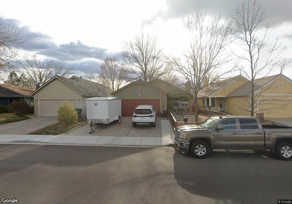
1632 Union St Sparks, NV 89434
O'Callaghan NeighborhoodEstimated Value: $430,000 - $454,000
3
Beds
2
Baths
1,376
Sq Ft
$320/Sq Ft
Est. Value
About This Home
This home is located at 1632 Union St, Sparks, NV 89434 and is currently estimated at $440,870, approximately $320 per square foot. 1632 Union St is a home located in Washoe County with nearby schools including Katherine Dunn Elementary School, George L Dilworth Middle School, and Edward C Reed High School.
Ownership History
Date
Name
Owned For
Owner Type
Purchase Details
Closed on
Oct 15, 2013
Sold by
Pearce Terry L and Pearce Steven R
Bought by
Pearce Terry L and Pearce Steven R
Current Estimated Value
Purchase Details
Closed on
Sep 25, 2013
Sold by
Pearce Terry L and Pearce Steven R
Bought by
Pearce Terry L and Pearce Steven R
Purchase Details
Closed on
Aug 6, 2013
Sold by
Price Terry L and Pearce Terry L
Bought by
Pearce Terry L and Pearce Steven R
Create a Home Valuation Report for This Property
The Home Valuation Report is an in-depth analysis detailing your home's value as well as a comparison with similar homes in the area
Home Values in the Area
Average Home Value in this Area
Purchase History
| Date | Buyer | Sale Price | Title Company |
|---|---|---|---|
| Pearce Terry L | -- | None Available | |
| Pearce Terry L | -- | None Available | |
| Pearce Terry L | -- | None Available |
Source: Public Records
Tax History
| Year | Tax Paid | Tax Assessment Tax Assessment Total Assessment is a certain percentage of the fair market value that is determined by local assessors to be the total taxable value of land and additions on the property. | Land | Improvement |
|---|---|---|---|---|
| 2026 | $1,229 | $67,131 | $34,650 | $32,481 |
| 2025 | $1,597 | $68,139 | $34,580 | $33,559 |
| 2024 | $1,597 | $67,102 | $32,725 | $34,377 |
| 2023 | $1,539 | $64,978 | $32,305 | $32,673 |
| 2022 | $1,495 | $53,583 | $26,005 | $27,578 |
| 2021 | $1,452 | $47,673 | $19,845 | $27,828 |
| 2020 | $1,408 | $48,008 | $19,775 | $28,233 |
| 2019 | $1,367 | $46,580 | $18,935 | $27,645 |
| 2018 | $1,327 | $41,308 | $13,965 | $27,343 |
| 2017 | $1,290 | $40,354 | $12,670 | $27,684 |
| 2016 | $1,258 | $39,920 | $11,410 | $28,510 |
| 2015 | $1,256 | $38,395 | $9,625 | $28,770 |
| 2014 | $1,188 | $35,324 | $8,225 | $27,099 |
| 2013 | -- | $31,690 | $6,090 | $25,600 |
Source: Public Records
Map
Nearby Homes
- 1655 Sabatino Dr
- 1674 Sabatino Dr
- 1308 Coachman Dr
- 2140 Burnside Dr
- 2227 Valencia Way
- 1544 Woodhaven Ln
- 1236 Flora Glen Dr
- 1357 Coupler Ct
- 1218 Junction Dr
- 2264 Fernwood Ct
- 2407 Sunny Slope Dr Unit 1
- 2507 Sycamore Glen Dr Unit 5
- 1695 Atlantic Way
- 2625 Sunny Slope Dr
- 2625 Sunny Slope Dr Unit 2
- 2624 Sunny Slope Dr Unit 10
- 2627 Sunny Slope Dr Unit 5
- 2659 Sycamore Glen Dr Unit 5
- 2679 Sycamore Glen Dr Unit 4
- 2152 Wabash Cir
- 1612 Union St
- 1642 Union St
- 1602 Union St
- 1662 Union St
- 1651 Burnside Dr
- 1631 Burnside Dr
- 1681 Burnside Dr
- 1601 Burnside Dr
- 1712 Union St
- 1711 Burnside Dr
- 1633 Union St
- 1643 Union St
- 1613 Union St
- 01 Pyrenees Rd Unit 1
- 01 Pyrenees Rd
- 1722 Union St
- 1603 Union St
- 1663 Union St
- 1741 Burnside Dr
- 1582 Union St
Your Personal Tour Guide
Ask me questions while you tour the home.