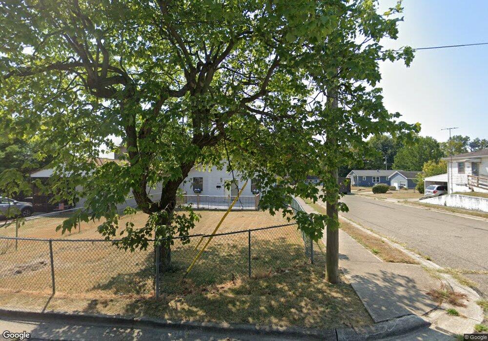
1632 W Chestnut St Lancaster, OH 43130
Estimated Value: $201,659 - $245,000
3
Beds
1
Bath
1,248
Sq Ft
$176/Sq Ft
Est. Value
About This Home
This home is located at 1632 W Chestnut St, Lancaster, OH 43130 and is currently estimated at $219,415, approximately $175 per square foot. 1632 W Chestnut St is a home located in Fairfield County with nearby schools including General Sherman Junior High School, Lancaster High School, and St Mary Elementary School.
Ownership History
Date
Name
Owned For
Owner Type
Purchase Details
Closed on
Jun 12, 1998
Sold by
Franke Gary L
Bought by
Birchfield Robert L and Birchfield Sandra
Current Estimated Value
Purchase Details
Closed on
Jun 1, 1998
Sold by
Mckenzie Kelly G
Bought by
Franke Gary L
Purchase Details
Closed on
Jun 2, 1994
Sold by
Bitler Barbara
Bought by
Smith Carl D and Smith Shirley M
Purchase Details
Closed on
Dec 13, 1993
Sold by
Sharp Virgie
Bought by
Bitler Barbara
Create a Home Valuation Report for This Property
The Home Valuation Report is an in-depth analysis detailing your home's value as well as a comparison with similar homes in the area
Home Values in the Area
Average Home Value in this Area
Purchase History
| Date | Buyer | Sale Price | Title Company |
|---|---|---|---|
| Birchfield Robert L | $21,000 | -- | |
| Franke Gary L | $21,189 | -- | |
| Smith Carl D | $25,000 | -- | |
| Bitler Barbara | -- | -- |
Source: Public Records
Tax History
| Year | Tax Paid | Tax Assessment Tax Assessment Total Assessment is a certain percentage of the fair market value that is determined by local assessors to be the total taxable value of land and additions on the property. | Land | Improvement |
|---|---|---|---|---|
| 2025 | $5,021 | $73,110 | $8,400 | $64,710 |
| 2024 | $5,021 | $55,850 | $5,570 | $50,280 |
| 2023 | $2,075 | $55,850 | $5,570 | $50,280 |
| 2022 | $2,087 | $55,850 | $5,570 | $50,280 |
| 2021 | $1,545 | $38,750 | $4,310 | $34,440 |
| 2020 | $495 | $38,750 | $4,310 | $34,440 |
| 2019 | $1,411 | $38,750 | $4,310 | $34,440 |
| 2018 | $351 | $32,290 | $4,310 | $27,980 |
| 2017 | $1,172 | $30,540 | $4,100 | $26,440 |
| 2016 | $1,142 | $30,540 | $4,100 | $26,440 |
| 2015 | $1,183 | $30,700 | $4,100 | $26,600 |
| 2014 | $1,128 | $30,700 | $4,100 | $26,600 |
| 2013 | $1,128 | $30,700 | $4,100 | $26,600 |
Source: Public Records
Map
Nearby Homes
- 114-116 S Cedar Ave
- 1511 Cedar Hill Rd
- 1414 Cedar Hill Rd
- 426 Ridgemere Way
- 1829 Shoshone Dr
- 453 Bren Dr
- 759 Lincoln Ave
- 505 Busby Ave
- 539 N Ohio Ave
- 302 Washington Ave
- 404 Garfield Ave
- 157 Cedar Hill Rd
- 120 Talmadge Ave
- 701 W Wheeling St
- 757 W Mulberry St
- 507 Washington Ave
- 729 Pennsylvania Ave
- 301 Witte St
- 721 Mckinley W
- 621 Washington Ave
- 1630 W Chestnut St
- 1708 W Chestnut St
- 1620 W Chestnut St
- 216 S Ohio Ave
- 1712 W Chestnut St
- 1631 W Chestnut St
- 141 S Ohio Ave
- 1716 W Chestnut St
- 1709 W Walnut St
- 222 S Ohio Ave
- 1615 W Chestnut St
- 1717 W Walnut St
- 136 S Ohio Ave
- 125 S Ohio Ave
- 1721 W Walnut St
- 1600 W Chestnut St
- 1605 W Chestnut St
- 134 S Ohio Ave
- 235 Dean Ave
- 1726 W Chestnut St
Your Personal Tour Guide
Ask me questions while you tour the home.