16326 Sheffield Point Ct Ballwin, MO 63021
Estimated Value: $806,277 - $951,000
4
Beds
5
Baths
4,770
Sq Ft
$179/Sq Ft
Est. Value
About This Home
This home is located at 16326 Sheffield Point Ct, Ballwin, MO 63021 and is currently estimated at $853,069, approximately $178 per square foot. 16326 Sheffield Point Ct is a home located in St. Louis County with nearby schools including Ridge Meadows Elementary School, Selvidge Middle School, and Marquette Sr. High School.
Ownership History
Date
Name
Owned For
Owner Type
Purchase Details
Closed on
Sep 24, 2002
Sold by
The Jones Company Custom Homes Inc
Bought by
Wessels Patrick J and Wessels Karen S
Current Estimated Value
Home Financials for this Owner
Home Financials are based on the most recent Mortgage that was taken out on this home.
Original Mortgage
$417,600
Outstanding Balance
$174,573
Interest Rate
6.25%
Estimated Equity
$678,496
Create a Home Valuation Report for This Property
The Home Valuation Report is an in-depth analysis detailing your home's value as well as a comparison with similar homes in the area
Home Values in the Area
Average Home Value in this Area
Purchase History
| Date | Buyer | Sale Price | Title Company |
|---|---|---|---|
| Wessels Patrick J | $522,600 | -- |
Source: Public Records
Mortgage History
| Date | Status | Borrower | Loan Amount |
|---|---|---|---|
| Open | Wessels Patrick J | $417,600 |
Source: Public Records
Tax History
| Year | Tax Paid | Tax Assessment Tax Assessment Total Assessment is a certain percentage of the fair market value that is determined by local assessors to be the total taxable value of land and additions on the property. | Land | Improvement |
|---|---|---|---|---|
| 2025 | $8,658 | $150,060 | $29,750 | $120,310 |
| 2024 | $8,658 | $124,510 | $19,060 | $105,450 |
| 2023 | $8,651 | $124,510 | $19,060 | $105,450 |
| 2022 | $8,248 | $110,260 | $21,430 | $88,830 |
| 2021 | $8,187 | $110,260 | $21,430 | $88,830 |
| 2020 | $7,813 | $100,320 | $17,140 | $83,180 |
| 2019 | $7,844 | $100,320 | $17,140 | $83,180 |
| 2018 | $9,070 | $109,380 | $30,740 | $78,640 |
| 2017 | $8,853 | $109,380 | $30,740 | $78,640 |
| 2016 | $8,635 | $102,600 | $30,740 | $71,860 |
| 2015 | $8,459 | $102,600 | $30,740 | $71,860 |
| 2014 | $7,610 | $90,010 | $21,360 | $68,650 |
Source: Public Records
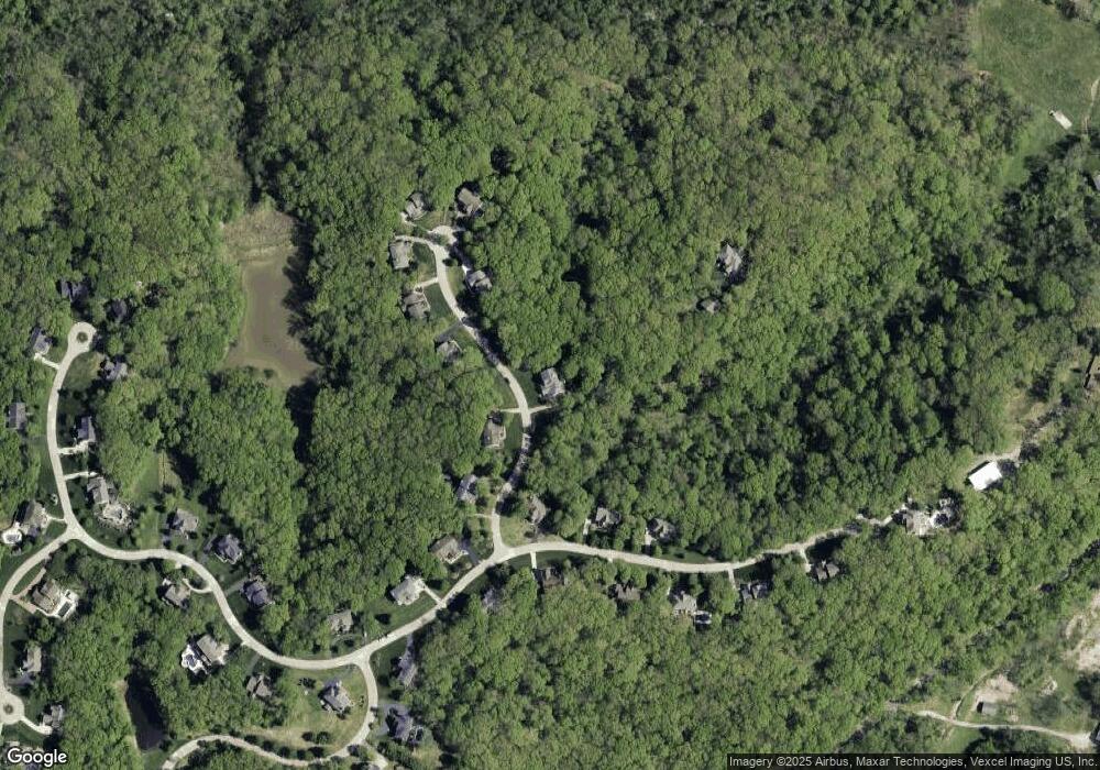
Map
Nearby Homes
- 1410 Saint Paul Rd
- 1315 Ridge Rd
- 847 Arbor Chase Dr
- 883 Arbor Chase Dr
- 589 Wetherby Terrace Dr
- 1513 Wolf Trail Rd
- 519 Steepleton Ct
- 1304 Kiefer Bluffs Dr
- 6 Pleasant Valley Dr
- 1110 Kiefer Creek Rd
- 1118 Kiefer Ridge Ct
- 1115 Ridge Rd
- 800 Holland Rd
- 15811 Jedberg Ln
- 1155 Kiefer Creek Rd
- 1319 Oak Borough Dr
- 873 Woodside Trails Dr Unit 853
- 760 Woodside Trails Dr Unit 203
- 15811 Jedberg Rd Unit A
- 604 Pine Ridge Trails Ct Unit 202
- 16318 Sheffield Point Ct
- 16327 Sheffield Point Ct
- 16319 Sheffield Point Ct
- 16334 Sheffield Point Ct
- 924 Sheffield Forest Ct
- 16302 Sheffield Point Ct
- 16343 Sheffield Point Ct
- 918 Sheffield Forest Ct
- 16303 Sheffield Point Ct
- 16311 Sheffield Point Ct
- 936 Sheffield Forest Ct
- 931 Sheffield Forest Ct
- 942 Sheffield Forest Ct
- 925 Sheffield Forest Ct
- 937 Sheffield Forest Ct
- 913 Sheffield Forest Ct
- 919 Sheffield Forest Ct
- 907 Sheffield Forest Ct
- 948 Sheffield Forest Ct
- 954 Sheffield Forest Ct
Your Personal Tour Guide
Ask me questions while you tour the home.