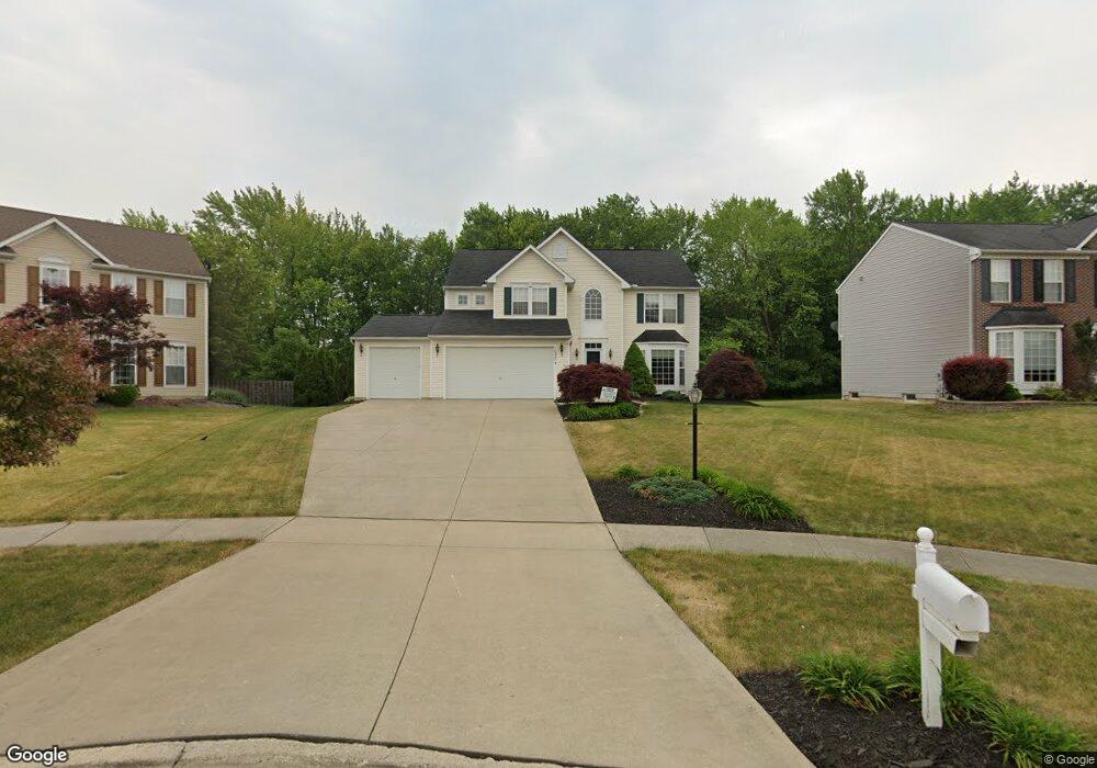
16327 Selby Cir Strongsville, OH 44136
Estimated Value: $467,000 - $497,000
4
Beds
3
Baths
2,520
Sq Ft
$189/Sq Ft
Est. Value
About This Home
This home is located at 16327 Selby Cir, Strongsville, OH 44136 and is currently estimated at $476,492, approximately $189 per square foot. 16327 Selby Cir is a home located in Cuyahoga County with nearby schools including Strongsville High School.
Ownership History
Date
Name
Owned For
Owner Type
Purchase Details
Closed on
Feb 28, 2024
Sold by
Trimmer Mark D and Trimmer Nora C
Bought by
Lang Nicole and Lang Ricardo W
Current Estimated Value
Home Financials for this Owner
Home Financials are based on the most recent Mortgage that was taken out on this home.
Original Mortgage
$330,000
Outstanding Balance
$324,480
Interest Rate
6.6%
Mortgage Type
New Conventional
Estimated Equity
$152,012
Purchase Details
Closed on
Mar 12, 2002
Sold by
Nvr Inc
Bought by
Trimmer Mark D and Trimmer Nora C
Home Financials for this Owner
Home Financials are based on the most recent Mortgage that was taken out on this home.
Original Mortgage
$168,300
Interest Rate
6.42%
Create a Home Valuation Report for This Property
The Home Valuation Report is an in-depth analysis detailing your home's value as well as a comparison with similar homes in the area
Home Values in the Area
Average Home Value in this Area
Purchase History
| Date | Buyer | Sale Price | Title Company |
|---|---|---|---|
| Lang Nicole | $420,000 | Infinity Title | |
| Trimmer Mark D | $266,300 | Nvr Title Agency Llc |
Source: Public Records
Mortgage History
| Date | Status | Borrower | Loan Amount |
|---|---|---|---|
| Open | Lang Nicole | $330,000 | |
| Previous Owner | Trimmer Mark D | $168,300 |
Source: Public Records
Tax History Compared to Growth
Tax History
| Year | Tax Paid | Tax Assessment Tax Assessment Total Assessment is a certain percentage of the fair market value that is determined by local assessors to be the total taxable value of land and additions on the property. | Land | Improvement |
|---|---|---|---|---|
| 2024 | $6,573 | $140,000 | $28,735 | $111,265 |
| 2023 | $7,235 | $115,540 | $30,870 | $84,670 |
| 2022 | $7,182 | $115,540 | $30,870 | $84,670 |
| 2021 | $7,125 | $115,540 | $30,870 | $84,670 |
| 2020 | $6,603 | $94,710 | $25,310 | $69,410 |
| 2019 | $6,409 | $270,600 | $72,300 | $198,300 |
| 2018 | $2,908 | $94,710 | $25,310 | $69,410 |
| 2017 | $5,549 | $81,560 | $19,290 | $62,270 |
| 2016 | $5,505 | $81,560 | $19,290 | $62,270 |
| 2015 | $5,585 | $81,560 | $19,290 | $62,270 |
| 2014 | $5,585 | $81,560 | $19,290 | $62,270 |
Source: Public Records
Map
Nearby Homes
- 16650 Lanier Ave
- 16486 S Red Rock Dr
- 17130 Golden Star Dr
- 17159 Turkey Meadow Ln
- 16450 Howe Rd
- 18229 Howe Rd
- 17682 Drake Rd
- 17029 Eagles Nest Cir
- 14558 Drake Rd
- 16711 Beech Cir
- 18294 Drake Rd
- 17069 Partridge Dr
- 17934 Cambridge Oval
- 18411 Yorktown Oval
- 14132 Walking Stick Way
- 18987 Laurell Cir
- 14985 Camden Cir
- 18162 Fawn Cir
- 17745 Brick Mill Run
- 14826 Lenox Dr
- 16363 Selby Cir
- 16291 Selby Cir
- 16399 Selby Cir
- 16255 Selby Cir
- 16435 Selby Cir
- 16264 Selby Cir
- 16336 Selby Cir
- 16372 Selby Cir
- 16300 Selby Cir
- 16471 Selby Cir
- 16408 Selby Cir
- 16302 Drake Rd
- 16578 Drake Rd
- 16444 Selby Cir
- 16507 Selby Cir
- 16337 Delmont Ave
- 16295 Delmont Ave
- 16480 Selby Cir
- 16381 Delmont Ave
- 16310 Drake Rd