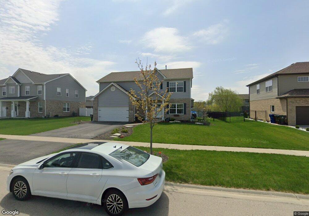
1634 Ardrum Rd New Lenox, IL 60451
Estimated Value: $464,000 - $508,000
2
Beds
3
Baths
1,960
Sq Ft
$244/Sq Ft
Est. Value
About This Home
This home is located at 1634 Ardrum Rd, New Lenox, IL 60451 and is currently estimated at $478,878, approximately $244 per square foot. 1634 Ardrum Rd is a home located in Will County with nearby schools including Spencer Trail, Spencer Crossing Intermediate School, and Spencer Pointe.
Ownership History
Date
Name
Owned For
Owner Type
Purchase Details
Closed on
Nov 27, 2023
Sold by
Trust Number 16056
Bought by
Graves Christopher R and Graves Chloe C
Current Estimated Value
Purchase Details
Closed on
Jun 5, 2020
Sold by
Punke Joanthan D and Punke Shelby
Bought by
Punke Jonathan and Punke Shelby
Purchase Details
Closed on
Sep 25, 2018
Sold by
Chicago Title Land Trusts
Bought by
Punke Jonathan D and Punke Shelby
Home Financials for this Owner
Home Financials are based on the most recent Mortgage that was taken out on this home.
Original Mortgage
$202,123
Interest Rate
4.62%
Mortgage Type
New Conventional
Create a Home Valuation Report for This Property
The Home Valuation Report is an in-depth analysis detailing your home's value as well as a comparison with similar homes in the area
Home Values in the Area
Average Home Value in this Area
Purchase History
| Date | Buyer | Sale Price | Title Company |
|---|---|---|---|
| Graves Christopher R | $455,900 | Chicago Title | |
| Punke Jonathan | -- | None Available | |
| Punke Jonathan D | $104,167 | Fidelity National Title |
Source: Public Records
Mortgage History
| Date | Status | Borrower | Loan Amount |
|---|---|---|---|
| Previous Owner | Punke Jonathan D | $202,123 |
Source: Public Records
Tax History
| Year | Tax Paid | Tax Assessment Tax Assessment Total Assessment is a certain percentage of the fair market value that is determined by local assessors to be the total taxable value of land and additions on the property. | Land | Improvement |
|---|---|---|---|---|
| 2024 | $10,531 | $137,771 | $36,393 | $101,378 |
| 2023 | $10,531 | $125,589 | $33,175 | $92,414 |
| 2022 | $9,492 | $115,697 | $30,562 | $85,135 |
| 2021 | $9,010 | $108,810 | $28,743 | $80,067 |
| 2020 | $8,754 | $104,927 | $27,717 | $77,210 |
| 2019 | $9,475 | $101,674 | $26,858 | $74,816 |
| 2018 | $0 | $70 | $70 | $0 |
| 2017 | $0 | $70 | $70 | $0 |
Source: Public Records
Map
Nearby Homes
- 1535 Glenbrooke Ln
- 1956 Cornell Dr
- 2402 Bluestone Bay Dr
- 1351 E Lincoln Hwy
- 318 William St
- 732 Teal Dr Unit 1
- 2019 Royalglen Dr
- 1851 Glenlake Ct
- 1212 Georgias Way
- 1869 Glenlake Ct
- 134 Roberts Rd
- 2757 Genoa Dr
- 1245 Georgias Way
- 1193 Georgias Way
- 629 S Cooper Rd Unit 6
- 320 Garfield Ave
- 146 S Cooper Rd
- 500 E Laraway Rd
- 550 E Laraway Rd
- 1587 Glenbrooke Ln
Your Personal Tour Guide
Ask me questions while you tour the home.