1634 Drift Rd Unit L Westport, MA 02790
Westport Point NeighborhoodEstimated Value: $435,000 - $680,000
2
Beds
3
Baths
2,223
Sq Ft
$275/Sq Ft
Est. Value
About This Home
This home is located at 1634 Drift Rd Unit L, Westport, MA 02790 and is currently estimated at $611,978, approximately $275 per square foot. 1634 Drift Rd Unit L is a home located in Bristol County with nearby schools including Alice A. Macomber Primary School, Westport Elementary School, and Westport Middle-High School.
Ownership History
Date
Name
Owned For
Owner Type
Purchase Details
Closed on
Aug 3, 2006
Sold by
Decosta Cheryl D and Decosta Thomas J
Bought by
1634 L Drift Road Nt and Decosta Cheryl D
Current Estimated Value
Purchase Details
Closed on
Jun 28, 2001
Sold by
Medeiros Joseph J and Medeiros Donna A
Bought by
Decosta Thomas J and Decosta Cheryl D
Create a Home Valuation Report for This Property
The Home Valuation Report is an in-depth analysis detailing your home's value as well as a comparison with similar homes in the area
Home Values in the Area
Average Home Value in this Area
Purchase History
| Date | Buyer | Sale Price | Title Company |
|---|---|---|---|
| 1634 L Drift Road Nt | -- | -- | |
| Decosta Thomas J | $50,500 | -- |
Source: Public Records
Mortgage History
| Date | Status | Borrower | Loan Amount |
|---|---|---|---|
| Open | Decosta Thomas J | $50,000 | |
| Open | Decosta Thomas J | $155,000 | |
| Closed | Decosta Thomas J | $160,000 |
Source: Public Records
Tax History Compared to Growth
Tax History
| Year | Tax Paid | Tax Assessment Tax Assessment Total Assessment is a certain percentage of the fair market value that is determined by local assessors to be the total taxable value of land and additions on the property. | Land | Improvement |
|---|---|---|---|---|
| 2025 | $4,120 | $553,000 | $0 | $553,000 |
| 2024 | $4,216 | $545,400 | $0 | $545,400 |
| 2023 | $4,162 | $510,100 | $0 | $510,100 |
| 2022 | $3,690 | $451,100 | $0 | $451,100 |
| 2021 | $3,690 | $428,100 | $0 | $428,100 |
| 2020 | $3,582 | $424,900 | $0 | $424,900 |
| 2019 | $3,550 | $429,300 | $0 | $429,300 |
| 2018 | $4,390 | $537,300 | $138,800 | $398,500 |
| 2017 | $4,272 | $536,000 | $0 | $536,000 |
| 2016 | $3,868 | $489,000 | $0 | $489,000 |
| 2015 | $3,405 | $429,400 | $115,700 | $313,700 |
Source: Public Records
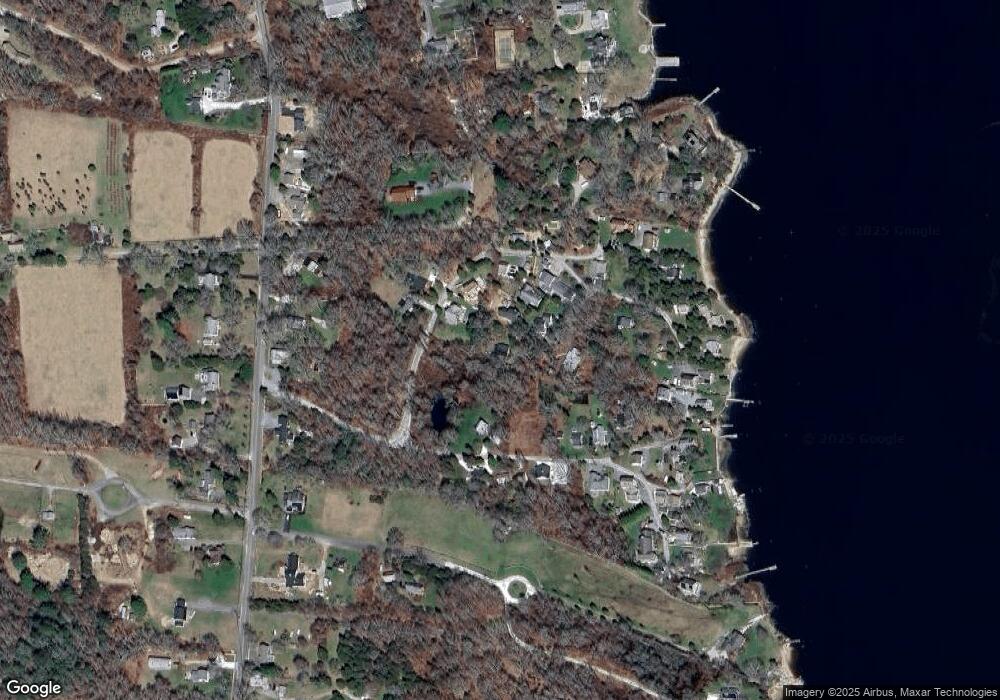
Map
Nearby Homes
- 1702 Drift Rd
- 1702J Drift Rd
- 99 Sylvia Ln
- 1749 Main Rd
- 1580 Main Rd
- 1881 Main Rd
- 1346 Main Rd Unit B
- 225 Hixbridge Rd
- 920 Drift Rd
- Lot 2 Horseneck Rd
- 2 Slades Farm Ln
- Lot 2E Horseneck Rd
- 101 Adamsville Rd
- 837 Main Rd
- 19 Seabury Ln
- 238-242 E Beach Rd
- 8 Village Way
- 7 Village Way
- 17 Quail Trail
- 15 Village Way
- 1634 Drift Rd Unit Z
- 1634 Drift Rd Unit Y
- 1634 Drift Rd Unit X
- 1634 Drift Rd Unit W
- 1634 Drift Rd Unit V
- 1634 Drift Rd Unit U
- 1634 Drift Rd Unit T
- 1634 Drift Rd Unit S
- 1634 Drift Rd Unit R
- 1634 Drift Rd Unit Q
- 1634 Drift Rd Unit O
- 1634 Drift Rd Unit N
- 1634 Drift Rd Unit M
- 1634 Drift Rd Unit I
- 1634 Drift Rd Unit P
- 1634 Drift Rd Unit J
- 1634 Drift Rd Unit E
- 1634 Drift Rd Unit D
- 1634 Drift Rd Unit C
- 1634 Drift Rd Unit B