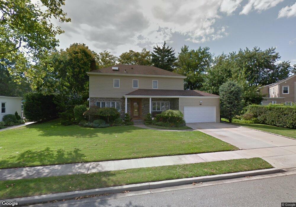
1634 Kent Dr Hewlett, NY 11557
Estimated Value: $1,142,779 - $1,454,000
Studio
4
Baths
2,927
Sq Ft
$437/Sq Ft
Est. Value
About This Home
This home is located at 1634 Kent Dr, Hewlett, NY 11557 and is currently estimated at $1,277,695, approximately $436 per square foot. 1634 Kent Dr is a home located in Nassau County with nearby schools including Lynbrook Senior High School, Our Lady Of Peace School, and Reenas Bais Yaakov.
Ownership History
Date
Name
Owned For
Owner Type
Purchase Details
Closed on
Aug 26, 1999
Sold by
Mandelbaum Abraham David and Mandelbaum Leona Joy
Bought by
Hoorwitz Mark and Hoorwitz Robin
Current Estimated Value
Home Financials for this Owner
Home Financials are based on the most recent Mortgage that was taken out on this home.
Original Mortgage
$310,000
Interest Rate
7.73%
Mortgage Type
Purchase Money Mortgage
Create a Home Valuation Report for This Property
The Home Valuation Report is an in-depth analysis detailing your home's value as well as a comparison with similar homes in the area
Home Values in the Area
Average Home Value in this Area
Purchase History
| Date | Buyer | Sale Price | Title Company |
|---|---|---|---|
| Hoorwitz Mark | $486,500 | First American Title Ins Co | |
| Hoorwitz Mark | $486,500 | First American Title Ins Co | |
| Hoorwitz Mark | $486,500 | First American Title Ins Co | |
| Hoorwitz Mark | $486,500 | First American Title Ins Co |
Source: Public Records
Mortgage History
| Date | Status | Borrower | Loan Amount |
|---|---|---|---|
| Previous Owner | Hoorwitz Mark | $310,000 |
Source: Public Records
Tax History
| Year | Tax Paid | Tax Assessment Tax Assessment Total Assessment is a certain percentage of the fair market value that is determined by local assessors to be the total taxable value of land and additions on the property. | Land | Improvement |
|---|---|---|---|---|
| 2025 | $21,653 | $739 | $292 | $447 |
| 2024 | $5,965 | $755 | $298 | $457 |
| 2023 | $21,635 | $796 | $314 | $482 |
| 2022 | $21,635 | $788 | $311 | $477 |
| 2021 | $21,277 | $775 | $306 | $469 |
| 2020 | $10,510 | $1,001 | $633 | $368 |
| 2019 | $19,070 | $1,073 | $636 | $437 |
| 2018 | $19,118 | $1,144 | $0 | $0 |
| 2017 | $13,600 | $1,211 | $523 | $688 |
| 2016 | $19,115 | $1,211 | $523 | $688 |
| 2015 | $6,674 | $1,571 | $678 | $893 |
| 2014 | $6,674 | $1,571 | $678 | $893 |
| 2013 | $6,517 | $1,571 | $678 | $893 |
Source: Public Records
Map
Nearby Homes
- 15 Baylis Place
- 164 Waverly Ave
- 262 Channon Rd
- 295 Union Ave
- 26 Dell Dr
- 33 Prospect Ave
- 19 Dell Dr
- 1357 Boxwood Dr E
- 1339 Boxwood Dr E
- 1361 Boxwood Dr E
- 41 Marion St
- 25 Davison Ave
- 29 Norwich Ave
- 12 Davison Ave
- 233 Everit Ave
- 6 Cail Dr
- 15 Cail Dr
- 2 Squirrel Dr
- 161 Union Ave Unit 5
- 161 Union Ave Unit 10
- 1630 Kent Dr
- 1635 Ridgeway Dr
- 275 Willard Dr
- 1639 Ridgeway Dr
- 1631 Ridgeway Dr
- 10 Kent Dr
- 1626 Kent Dr
- 1643 Ridgeway Dr
- 1625 Ridgeway Dr
- 24 Kent Dr
- 286 Willard Dr
- 223 Waverly Ave
- 1634 Ridgeway Dr
- 1638 Ridgeway Dr
- 1619 Ridgeway Dr
- 229 Waverly Ave
- 1626 Ridgeway Dr
- 267 Willard Dr
- 290 Willard Dr
- 1655 Warwick Rd
Your Personal Tour Guide
Ask me questions while you tour the home.