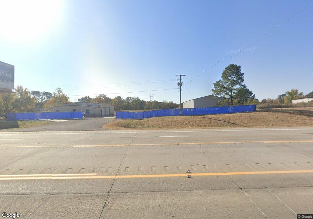
16345 Highway 62 Tahlequah, OK 74464
Estimated Value: $350,650
--
Bed
--
Bath
3,200
Sq Ft
$110/Sq Ft
Est. Value
About This Home
This home is located at 16345 Highway 62, Tahlequah, OK 74464 and is currently priced at $350,650, approximately $109 per square foot. 16345 Highway 62 is a home located in Cherokee County with nearby schools including Heritage Elementary School, Tahlequah Middle School, and Tahlequah High School.
Ownership History
Date
Name
Owned For
Owner Type
Purchase Details
Closed on
Mar 25, 2024
Sold by
Hodge Bryan K and Hodge Laura R
Bought by
Nation Cherokee
Current Estimated Value
Purchase Details
Closed on
Mar 13, 2024
Sold by
Hodge Bryan K and Hodge Laura R
Bought by
Nation Cherokee
Purchase Details
Closed on
Feb 16, 2016
Sold by
Sprague William E and Sprague Dorothy P
Bought by
Hodge Bryan K and Hodge Laura R
Home Financials for this Owner
Home Financials are based on the most recent Mortgage that was taken out on this home.
Original Mortgage
$165,310
Interest Rate
3.97%
Mortgage Type
Future Advance Clause Open End Mortgage
Purchase Details
Closed on
Apr 16, 2004
Sold by
William Sprague
Bought by
William and Dorothy Sprague
Create a Home Valuation Report for This Property
The Home Valuation Report is an in-depth analysis detailing your home's value as well as a comparison with similar homes in the area
Home Values in the Area
Average Home Value in this Area
Purchase History
| Date | Buyer | Sale Price | Title Company |
|---|---|---|---|
| Nation Cherokee | -- | None Listed On Document | |
| Nation Cherokee | -- | None Listed On Document | |
| Nation Cherokee | $1,250,000 | None Listed On Document | |
| Nation Cherokee | $1,250,000 | None Listed On Document | |
| Hodge Bryan K | $200,000 | Tahlequah Abstract & Title C | |
| William | -- | -- |
Source: Public Records
Mortgage History
| Date | Status | Borrower | Loan Amount |
|---|---|---|---|
| Previous Owner | Hodge Bryan K | $165,310 |
Source: Public Records
Tax History Compared to Growth
Tax History
| Year | Tax Paid | Tax Assessment Tax Assessment Total Assessment is a certain percentage of the fair market value that is determined by local assessors to be the total taxable value of land and additions on the property. | Land | Improvement |
|---|---|---|---|---|
| 2023 | $1,402 | $14,939 | $3,463 | $11,476 |
| 2022 | $1,386 | $14,939 | $3,463 | $11,476 |
| 2021 | $1,391 | $14,939 | $3,463 | $11,476 |
| 2020 | $1,416 | $14,939 | $3,463 | $11,476 |
| 2019 | $2,067 | $22,000 | $3,463 | $18,537 |
| 2018 | $2,091 | $22,000 | $3,463 | $18,537 |
| 2017 | $2,088 | $22,000 | $3,463 | $18,537 |
| 2016 | $934 | $9,778 | $2,313 | $7,465 |
| 2015 | $874 | $9,313 | $2,115 | $7,198 |
| 2014 | $835 | $8,869 | $2,014 | $6,855 |
Source: Public Records
Map
Nearby Homes
- 22781 S 490 Rd
- 16289 W 810 Rd
- 0 S 490 Rd
- 2 S 490 Rd
- 21887 Coffee Hollow Rd
- 17039 W Maggie Rd
- 21098 S 495 Rd
- 21060 S 496 Rd
- 21149 S Highway View Dr
- 16809 W 790 Rd
- 21039 S Highway View Dr
- 0 S 510 Rd
- 16840 W Sierra Cir
- 19816 S 503 Rd
- 19880 S 503 Rd
- 15451 W 791 Rd
- 562 W Willis Rd
- 16605 W Sierra Cir
- 14650 W 835 Rd
- 0 W 810 Rd Unit 2506686
- 16345 Highway 62
- 16257 Highway 62
- 16403 Highway 62
- 16403 Hwy 62
- 16133 Highway 62
- 16220 Spring Meadow Dr
- 22772 S 494 Rd
- 16183 Spring Meadow Dr
- 22758 S 494 Rd
- 22755 S 494 Rd
- 22832 S 494 Rd
- 16184 Spring Meadow Dr
- 22726 S 492 Rd
- 22734 S 494 Rd
- 22304 Stick Ross Mountain Rd
- 16168 Spring Meadow Dr
- 22855 S 494 Rd
- 22721 S 494 Rd
- 22858 S 494 Rd
- 22858 S 494 Rd