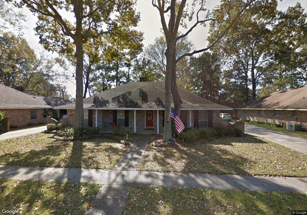
16346 Antietam Ave Baton Rouge, LA 70817
Shenandoah NeighborhoodEstimated Value: $269,512 - $329,000
4
Beds
3
Baths
2,034
Sq Ft
$149/Sq Ft
Est. Value
About This Home
This home is located at 16346 Antietam Ave, Baton Rouge, LA 70817 and is currently estimated at $302,628, approximately $148 per square foot. 16346 Antietam Ave is a home located in East Baton Rouge Parish with nearby schools including Shenandoah Elementary School, Woodlawn Middle School, and Woodlawn High School.
Ownership History
Date
Name
Owned For
Owner Type
Purchase Details
Closed on
Oct 9, 2023
Sold by
Legnon Sandra L
Bought by
Legnon Richard M
Current Estimated Value
Purchase Details
Closed on
Aug 10, 2007
Sold by
Denny Steven E
Bought by
Legnon Richard M
Home Financials for this Owner
Home Financials are based on the most recent Mortgage that was taken out on this home.
Original Mortgage
$194,000
Interest Rate
6.64%
Mortgage Type
New Conventional
Create a Home Valuation Report for This Property
The Home Valuation Report is an in-depth analysis detailing your home's value as well as a comparison with similar homes in the area
Home Values in the Area
Average Home Value in this Area
Purchase History
| Date | Buyer | Sale Price | Title Company |
|---|---|---|---|
| Legnon Richard M | -- | None Listed On Document | |
| Legnon Richard M | $210,000 | -- |
Source: Public Records
Mortgage History
| Date | Status | Borrower | Loan Amount |
|---|---|---|---|
| Previous Owner | Legnon Richard M | $194,000 |
Source: Public Records
Tax History Compared to Growth
Tax History
| Year | Tax Paid | Tax Assessment Tax Assessment Total Assessment is a certain percentage of the fair market value that is determined by local assessors to be the total taxable value of land and additions on the property. | Land | Improvement |
|---|---|---|---|---|
| 2024 | $2,227 | $26,000 | $2,000 | $24,000 |
| 2023 | $2,227 | $21,000 | $2,000 | $19,000 |
| 2022 | $2,463 | $21,000 | $2,000 | $19,000 |
| 2021 | $2,417 | $21,000 | $2,000 | $19,000 |
| 2020 | $2,447 | $21,000 | $2,000 | $19,000 |
| 2019 | $2,544 | $21,000 | $2,000 | $19,000 |
| 2018 | $2,512 | $21,000 | $2,000 | $19,000 |
| 2017 | $2,512 | $21,000 | $2,000 | $19,000 |
| 2016 | $1,588 | $21,000 | $2,000 | $19,000 |
| 2015 | $1,588 | $21,000 | $2,000 | $19,000 |
| 2014 | $1,555 | $21,000 | $2,000 | $19,000 |
| 2013 | -- | $21,000 | $2,000 | $19,000 |
Source: Public Records
Map
Nearby Homes
- 16025 Parkside Ct
- 15719 Parkside Ct
- 16211 White Rose Dr
- 15738 Woodland Trail Ave
- 15682 Malvern Hill Ave
- 6443 Tiger Pointe Dr
- 16255 White Rose Dr
- 6335 Antioch Blvd
- 15635 Shenandoah Ave
- 6526 Cameren Oaks Dr
- 6429 Blue Rose Dr
- 16039 Haynes Bluff Ave
- 15844 Chantilly Ave
- 15525 Woodland Trail Ave
- 15946 Ferrell Ave
- 16849 Mill Grove Ln
- 6625 Blue Rose Dr
- 5654 Vicksburg Dr
- 6613 Silver Oak Dr
- 6374 Muir St
- 16332 Antietam Ave
- 16404 Antietam Ave
- 16213 Shenandoah Ave
- 16308 Antietam Ave
- 16428 Antietam Ave
- 16175 Shenandoah Ave
- 16237 Shenandoah Ave
- 16237 Shenandoah Ave
- 16345 Antietam Ave
- 16331 Antietam Ave
- 16157 Shenandoah Ave
- 16405 Antietam Ave
- 16259 Shenandoah Ave
- 16248 Antietam Ave
- 16442 Antietam Ave
- 16307 Antietam Ave
- 16143 Shenandoah Ave
- 16273 Shenandoah Ave
- 16237 Antietam Ave
- 16458 Antietam Ave