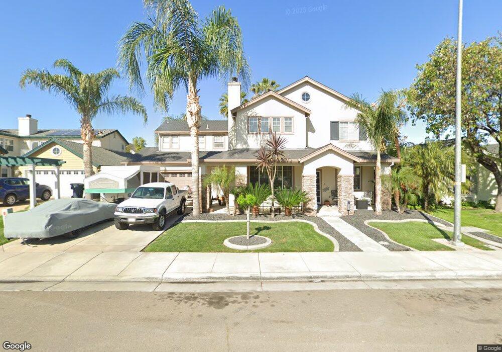
1635 Laurelbrook Dr Tracy, CA 95377
Tracy AreaEstimated Value: $720,232 - $781,000
About This Home
This home is located at 1635 Laurelbrook Dr, Tracy, CA 95377 and is currently estimated at $748,308, approximately $307 per square foot. 1635 Laurelbrook Dr is a home located in San Joaquin County with nearby schools including Art Freiler, Merrill F. West High School, and Tracy Independent Study Charter School.
Ownership History
We collect this data history from publicly available records. To have your information removed, we recommend requesting removal directly through your county’s website.
Purchase Details
Home Financials for this Owner
Home Financials are based on the most recent Mortgage that was taken out on this home.Purchase Details
Home Values in the Area
Average Home Value in this Area
Purchase History
We collect this data history from publicly available records. To have your information removed, we recommend requesting removal directly through your county’s website.
| Date | Buyer | Sale Price | Title Company |
|---|---|---|---|
| $349,000 | Chicago Title Co | ||
| $274,000 | Old Republic Title Company |
Mortgage History
We collect this data history from publicly available records. To have your information removed, we recommend requesting removal directly through your county’s website.
| Date | Status | Borrower | Loan Amount |
|---|---|---|---|
| Open | $220,000 | ||
| Closed | $216,900 | ||
| Closed | $214,973 | ||
| Closed | $215,000 | ||
| Previous Owner | $75,000 |
Tax History
We collect this data history from publicly available records. To have your information removed, we recommend requesting removal directly through your county’s website.
| Year | Tax Paid | Tax Assessment Tax Assessment Total Assessment is a certain percentage of the fair market value that is determined by local assessors to be the total taxable value of land and additions on the property. | Land | Improvement |
|---|---|---|---|---|
| 2025 | $6,023 | $515,548 | $153,629 | $361,919 |
| 2024 | $5,555 | $505,440 | $150,617 | $354,823 |
| 2023 | $5,466 | $495,530 | $147,664 | $347,866 |
| 2022 | $5,352 | $485,815 | $144,769 | $341,046 |
| 2021 | $5,304 | $476,290 | $141,931 | $334,359 |
| 2020 | $6,061 | $471,407 | $140,476 | $330,931 |
| 2019 | $6,006 | $462,165 | $137,722 | $324,443 |
| 2018 | $5,946 | $453,104 | $135,022 | $318,082 |
| 2017 | $5,632 | $444,221 | $132,375 | $311,846 |
| 2016 | $5,711 | $435,514 | $129,781 | $305,733 |
| 2014 | $5,391 | $420,573 | $125,328 | $295,245 |
Map
- 2734 W Byron Rd
- 2386 Sabrina Way
- 2547 Spencer Ln
- 1510 Bernard Phelan Ave
- 2315 Sabrina Way
- 2379 Gaines Ln
- 1742 Duke Ct
- 2780 Oxford Ln
- 1723 Duke Ct
- 2245 Sabrina Way
- 2185 Holder Ln
- 2165 Jenni Ln
- 3030 W Byron Rd
- 1356 Gentry Ln
- 1491 Velasquez Ln
- 3110 W Byron Rd
- 1321 Haley Ct
- 1900 W Lowell Ave
- 1936 Maplegrove Ln
- 2219 Yellowstone Ave
- 1655 Laurelbrook Dr
- 1615 Laurelbrook Dr
- 1656 Green Springs Ct
- 1666 Green Springs Ct
- 1595 Laurelbrook Dr
- 1646 Green Springs Ct
- 1675 Laurelbrook Dr
- 1676 Green Springs Ct
- 1624 Laurelbrook Dr
- 1594 Laurelbrook Dr
- 1686 Green Springs Ct
- 2547 Peppercorn Ln
- 1575 Laurelbrook Dr
- 2538 Peppercorn Ln
- 1584 Laurelbrook Dr
- 2537 Peppercorn Ln
- 1657 Green Springs Ct
- 1667 Green Springs Ct
- 2528 Peppercorn Ln
- 1647 Green Springs Ct
Ask me questions while you tour the home.