Estimated Value: $219,000 - $341,487
3
Beds
3
Baths
2,300
Sq Ft
$127/Sq Ft
Est. Value
About This Home
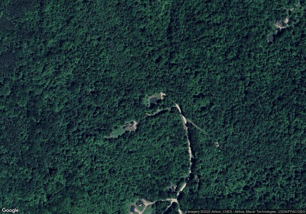
This home is located at 1635 N Pascal Rd, Malta, OH 43758 and is currently estimated at $291,122, approximately $126 per square foot. 1635 N Pascal Rd is a home located in Morgan County with nearby schools including Morgan High School.
Ownership History
Date
Name
Owned For
Owner Type
Purchase Details
Closed on
Jun 5, 2014
Sold by
Kittle David J and Kittle Sue A
Bought by
Kirkbride John M and Kirkbride Jenny L
Current Estimated Value
Home Financials for this Owner
Home Financials are based on the most recent Mortgage that was taken out on this home.
Original Mortgage
$137,244
Outstanding Balance
$104,312
Interest Rate
4.18%
Mortgage Type
New Conventional
Estimated Equity
$186,810
Purchase Details
Closed on
Feb 19, 1999
Bought by
Kittle David J and Kittle Sue A
Purchase Details
Closed on
Aug 5, 1996
Bought by
Bruner Land Company Inc
Create a Home Valuation Report for This Property
The Home Valuation Report is an in-depth analysis detailing your home's value as well as a comparison with similar homes in the area
Purchase History
| Date | Buyer | Sale Price | Title Company |
|---|---|---|---|
| Kirkbride John M | $134,500 | None Available | |
| Kittle David J | $20,000 | -- | |
| Bruner Land Company Inc | -- | -- |
Source: Public Records
Mortgage History
| Date | Status | Borrower | Loan Amount |
|---|---|---|---|
| Open | Kirkbride John M | $137,244 |
Source: Public Records
Tax History
| Year | Tax Paid | Tax Assessment Tax Assessment Total Assessment is a certain percentage of the fair market value that is determined by local assessors to be the total taxable value of land and additions on the property. | Land | Improvement |
|---|---|---|---|---|
| 2024 | $2,584 | $81,990 | $13,310 | $68,680 |
| 2023 | $2,591 | $63,000 | $10,850 | $52,150 |
| 2022 | $1,965 | $63,000 | $10,850 | $52,150 |
| 2021 | $1,986 | $63,000 | $10,850 | $52,150 |
| 2019 | $1,956 | $59,400 | $9,860 | $49,540 |
| 2018 | $1,878 | $59,400 | $9,860 | $49,540 |
| 2017 | $1,748 | $54,079 | $7,686 | $46,393 |
| 2016 | $1,755 | $54,079 | $7,686 | $46,393 |
| 2015 | $1,753 | $54,079 | $7,686 | $46,393 |
| 2014 | $1,516 | $54,079 | $7,686 | $46,393 |
| 2013 | $1,488 | $54,079 | $7,686 | $46,393 |
Source: Public Records
Map
Nearby Homes
- 7621 W Mollahan Rd NW
- 8960 State Route 37
- 360 Glass Rd NW
- 690 Ames Rd
- 581 Butler Rd
- 0 Hambel Rd
- 0 Township Road 318
- 6495 Township Road 293 SE
- 14105 Portie-Flamingo Rd SE
- 13877 Portie Flamingo Rd SE
- 136 Jones St
- 185 Adams St
- 140 S Valley St
- 156 Rodgers St
- 14632 Township Road 202 NE
- 207 W Main St
- 0 NE Township Road 202 Unit 20250430
- 0 Township Road 202
- 7.38 acres County Road 13
- 660 Ohio 377
- 1575 N Pascal Rd
- 1470 N Pascal Rd
- 8525 W Morganville Rd NW
- 8833 W Morganville Rd NW
- 1180 N Pascal Rd
- 1150 1120 Pascal Rd
- 1150 N Pascal Rd
- 8435 W Morganville Rd NW
- 9055 W Morganville Rd NW
- 8450 W Morganville Rd NW
- 2151 Stoney Point Rd
- 920 N Pascal Rd
- 8550 Drake Rd
- 8870 Drake Rd
- 8230 W Morganville Rd NW
- 8585 Drake Rd
- 8585 N Drake Rd
- 8755 Drake Rd
- 0 Glass Rd
- 1975 Stoney Point Rd
