1635 W Broadland Ln Lake Forest, IL 60045
Estimated Value: $1,446,000 - $1,855,000
--
Bed
4
Baths
4,115
Sq Ft
$402/Sq Ft
Est. Value
About This Home
This home is located at 1635 W Broadland Ln, Lake Forest, IL 60045 and is currently estimated at $1,656,067, approximately $402 per square foot. 1635 W Broadland Ln is a home located in Lake County with nearby schools including Everett Elementary School, Deer Path Middle School East, and Lake Forest High School.
Ownership History
Date
Name
Owned For
Owner Type
Purchase Details
Closed on
Sep 27, 2000
Sold by
Cole Taylor Bank
Bought by
Belter John F and Belter Pamela K
Current Estimated Value
Purchase Details
Closed on
Mar 30, 2000
Sold by
American National Bk & Tr Co Of Chicago
Bought by
Cole Taylor Bank and Trust #00-8512
Create a Home Valuation Report for This Property
The Home Valuation Report is an in-depth analysis detailing your home's value as well as a comparison with similar homes in the area
Home Values in the Area
Average Home Value in this Area
Purchase History
| Date | Buyer | Sale Price | Title Company |
|---|---|---|---|
| Belter John F | $1,380,000 | -- | |
| Cole Taylor Bank | -- | -- |
Source: Public Records
Tax History Compared to Growth
Tax History
| Year | Tax Paid | Tax Assessment Tax Assessment Total Assessment is a certain percentage of the fair market value that is determined by local assessors to be the total taxable value of land and additions on the property. | Land | Improvement |
|---|---|---|---|---|
| 2024 | $28,490 | $492,298 | $140,830 | $351,468 |
| 2023 | $23,937 | $464,520 | $132,884 | $331,636 |
| 2022 | $23,937 | $405,891 | $116,112 | $289,779 |
| 2021 | $23,225 | $401,514 | $114,860 | $286,654 |
| 2020 | $22,657 | $402,884 | $115,252 | $287,632 |
| 2019 | $21,868 | $401,399 | $114,827 | $286,572 |
| 2018 | $21,743 | $418,769 | $124,827 | $293,942 |
| 2017 | $20,899 | $408,994 | $121,913 | $287,081 |
| 2016 | $20,168 | $391,644 | $116,741 | $274,903 |
| 2015 | $19,766 | $366,262 | $109,175 | $257,087 |
| 2014 | $21,168 | $392,444 | $117,255 | $275,189 |
| 2012 | $20,878 | $393,230 | $117,490 | $275,740 |
Source: Public Records
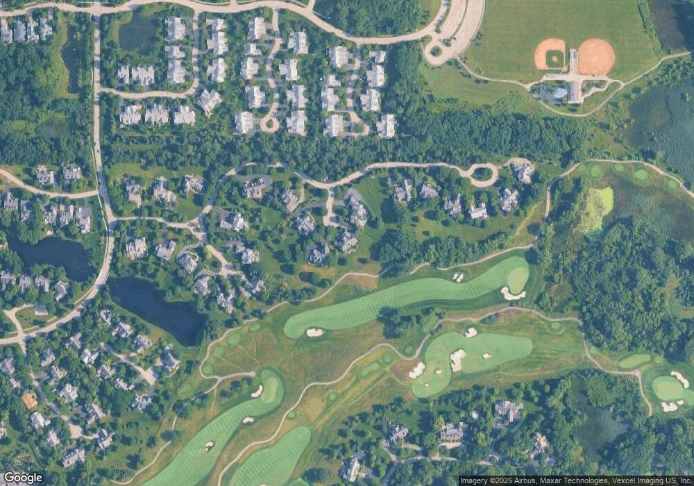
Map
Nearby Homes
- 1745 W Newport Ct
- 95 S Canterbury Ct
- 1830 W North Pond Ln
- 289 S South Shore Ln
- 1845 W North Pond Ln
- 1515 Sage Ct
- 2150 W Saunders Rd
- 500 Andover Ct
- 1775 Westbridge Cir
- 2200 W Saunders Rd
- 625 Leland Ct
- 1181 Gavin Ct
- 480 Saunders Rd
- 1161 Gavin Ct
- 1130 Gavin Ct
- 1036 Barrys Ct
- 1031 Barrys Ct
- 660 S Buckingham Ct
- 1371 Lakewood Dr
- 1685 Cornell Ct
- 1625 W Broadland Ln
- 1645 W Broadland Ln
- 1655 W Broadland Ln
- 1605 W Broadland Ln
- 1605 W Broadland Ln
- 1665 W Broadland Ln
- 1615 W Broadland Ln
- 1585 W Broadland Ln
- 1735 W Broadland Ln
- 1725 W Broadland Ln
- 1575 W Broadland Ln
- 190 S Bradford Ct
- 1695 W Broadland Ln
- 195 S Bradford Ct
- 1715 W Broadland Ln
- 1565 W Broadland Ln
- 180 S Bradford Ct
- 185 S Bradford Ct
- 195 S Danbury Ct
- 175 S Bradford Ct