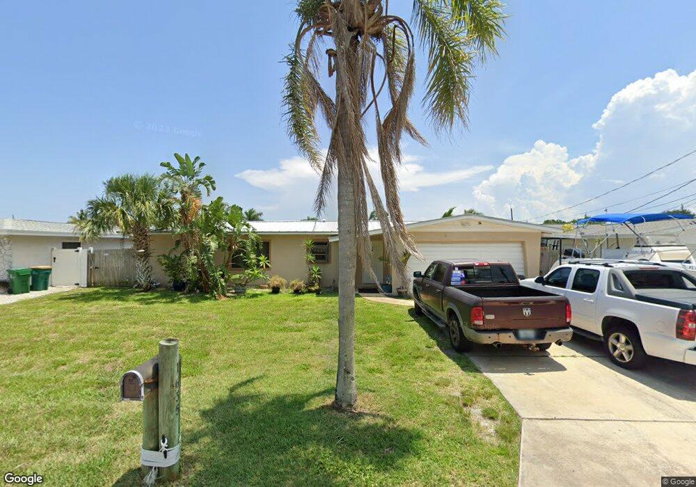
1635 Yates Dr Merritt Island, FL 32952
Estimated Value: $479,000 - $568,876
3
Beds
2
Baths
1,812
Sq Ft
$293/Sq Ft
Est. Value
About This Home
This home is located at 1635 Yates Dr, Merritt Island, FL 32952 and is currently estimated at $530,719, approximately $292 per square foot. 1635 Yates Dr is a home located in Brevard County with nearby schools including Audubon Elementary School, Thomas Jefferson Middle School, and Merritt Island High School.
Ownership History
Date
Name
Owned For
Owner Type
Purchase Details
Closed on
Jul 2, 2013
Sold by
Dahlenburg Eric Dale and Moorhead Georgiana
Bought by
Dahlenburg Eric Dale and Moorhead Georgiana
Current Estimated Value
Purchase Details
Closed on
Apr 19, 1996
Sold by
Hebert Manuel and Hebert Gail
Bought by
Dahlenburg Eric Dale
Home Financials for this Owner
Home Financials are based on the most recent Mortgage that was taken out on this home.
Original Mortgage
$99,802
Interest Rate
7.36%
Create a Home Valuation Report for This Property
The Home Valuation Report is an in-depth analysis detailing your home's value as well as a comparison with similar homes in the area
Home Values in the Area
Average Home Value in this Area
Purchase History
| Date | Buyer | Sale Price | Title Company |
|---|---|---|---|
| Dahlenburg Eric Dale | $39,000 | None Available | |
| Dahlenburg Eric Dale | $126,800 | -- |
Source: Public Records
Mortgage History
| Date | Status | Borrower | Loan Amount |
|---|---|---|---|
| Previous Owner | Dahlenburg Eric Dale | $99,802 |
Source: Public Records
Tax History Compared to Growth
Tax History
| Year | Tax Paid | Tax Assessment Tax Assessment Total Assessment is a certain percentage of the fair market value that is determined by local assessors to be the total taxable value of land and additions on the property. | Land | Improvement |
|---|---|---|---|---|
| 2025 | $2,704 | $218,410 | -- | -- |
| 2024 | $2,669 | $205,720 | -- | -- |
| 2023 | $2,669 | $199,730 | $0 | $0 |
| 2022 | $2,494 | $193,920 | $0 | $0 |
| 2021 | $2,583 | $188,280 | $0 | $0 |
| 2020 | $2,523 | $185,690 | $0 | $0 |
| 2019 | $2,470 | $181,520 | $0 | $0 |
| 2018 | $2,472 | $178,140 | $0 | $0 |
| 2017 | $2,489 | $174,480 | $0 | $0 |
| 2016 | $2,526 | $170,900 | $130,000 | $40,900 |
| 2015 | $2,591 | $169,720 | $130,000 | $39,720 |
| 2014 | $2,592 | $167,490 | $120,000 | $47,490 |
Source: Public Records
Map
Nearby Homes
- 1510 Holly Ave
- 1545 Cunningham Ave
- 1625 Hortana Dr
- 1455 Hannah Dr
- 700 Milford Point Dr
- 1515 Quince Ave
- 1668 Oceana Dr
- 1425 Lester Ct
- 1675 Oceana Dr Unit 8
- 1340 Lester Ct
- 635 Barrett Dr
- 1685 Savannah Dr
- 1395 Floral Ln
- 2437 Yount Dr
- 3000 Yount Dr
- 1585 Anchor Ln
- 1620 Yount Dr
- 535 Barrett Dr
- 0000 Sun Pointe Place
- 1613 Dock St