16350 Chumstick Hwy Leavenworth, WA 98826
Estimated Value: $1,227,705 - $2,007,000
4
Beds
2
Baths
2,978
Sq Ft
$504/Sq Ft
Est. Value
About This Home
This home is located at 16350 Chumstick Hwy, Leavenworth, WA 98826 and is currently estimated at $1,500,568, approximately $503 per square foot. 16350 Chumstick Hwy is a home located in Chelan County with nearby schools including Cascade High School.
Ownership History
Date
Name
Owned For
Owner Type
Purchase Details
Closed on
Mar 20, 2015
Sold by
Cann Family Properties Llc
Bought by
Cann Michal D and Cann Susan E
Current Estimated Value
Purchase Details
Closed on
Dec 18, 2009
Sold by
Cann Michal D and Cann Susan E
Bought by
Cann Family Properties Llc
Purchase Details
Closed on
Mar 7, 2008
Sold by
Close Gracie and Close P
Bought by
Cann Michal D and Cann Susan E
Purchase Details
Closed on
Oct 21, 2005
Sold by
Foecke David
Bought by
Close Gracie
Purchase Details
Closed on
Oct 18, 2005
Sold by
Holstein Larry T and Holstein Carol A
Bought by
Close Gracie
Create a Home Valuation Report for This Property
The Home Valuation Report is an in-depth analysis detailing your home's value as well as a comparison with similar homes in the area
Home Values in the Area
Average Home Value in this Area
Purchase History
| Date | Buyer | Sale Price | Title Company |
|---|---|---|---|
| Cann Michal D | -- | Accommodation | |
| Cann Family Properties Llc | -- | None Available | |
| Cann Michal D | $850,000 | None Available | |
| Close Gracie | -- | Central Washington Title Ser | |
| Close Gracie | $735,000 | Central Washington Title Ser |
Source: Public Records
Tax History Compared to Growth
Tax History
| Year | Tax Paid | Tax Assessment Tax Assessment Total Assessment is a certain percentage of the fair market value that is determined by local assessors to be the total taxable value of land and additions on the property. | Land | Improvement |
|---|---|---|---|---|
| 2021 | $7,513 | $800,004 | $236,239 | $563,765 |
| 2020 | $8,454 | $807,093 | $236,239 | $570,854 |
| 2019 | $9,036 | $814,481 | $236,239 | $578,242 |
| 2018 | $9,253 | $847,867 | $216,954 | $630,913 |
| 2017 | $8,483 | $798,240 | $231,418 | $566,822 |
| 2016 | $6,849 | $818,461 | $236,239 | $582,222 |
| 2015 | $6,849 | $810,598 | $236,239 | $574,359 |
| 2013 | $6,849 | $795,592 | $265,166 | $530,426 |
Source: Public Records
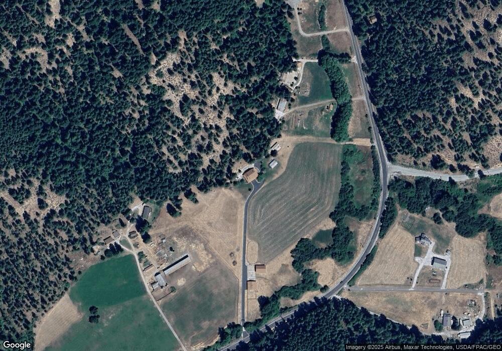
Map
Nearby Homes
- 16100 Chumstick Hwy
- 0 Chumstick Hwy Unit NWM2438228
- 16991 16965 Chumstick Hwy
- 10642 Merry Canyon Rd
- 21512 Camp 12 Rd
- 25601 Camp 12 Rd
- 15305 Chumstick Hwy
- 25607 Camp 12 Rd
- 25615 Camp 12 Rd
- 21311 Stetson Rd
- 21404 Stirrup Rd
- 21317 Quarter Rd
- 21823 Colt Rd
- 16845 National Forest Development Road 7801
- 230 Fawn Ln
- 14985 Chumstick Hwy
- 606 Morning Star Ln
- 25312 Saddle St
- 14905 Chumstick Hwy
- 24109 Morgan St
- 16340 Chumstick Hwy
- 16410 Chumstick Hwy
- 16238 Chumstick Hwy
- 16279 Chumstick Hwy
- 16520 Chumstick Hwy
- 16330 Chumstick Hwy
- 16560 Chumstick Hwy
- 16255 Chumstick Hwy
- 16555 Chumstick Hwy
- 16151 Chumstick Hwy
- 135 Starry Mountain Ln
- 16575 Chumstick Hwy
- 16595 Chumstick Hwy
- 11114 Merry Canyon Rd
- 11131 Merry Canyon Rd
- 16100 NNA Chumstick Hwy
- 16651 Chumstick Hwy
- 106 Starry Mountain Ln
- 11094 Merry Canyon Rd
- 78 Starry Mountain Ln