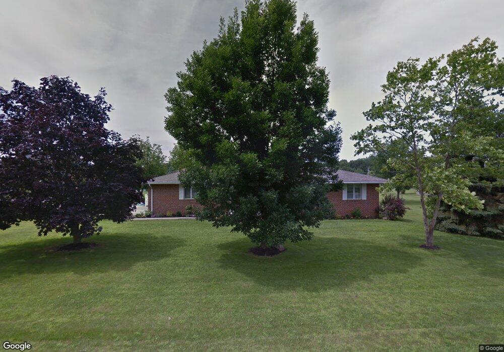
16350 Maureen Dr Kenton, OH 43326
Estimated Value: $224,000 - $284,000
3
Beds
2
Baths
1,632
Sq Ft
$155/Sq Ft
Est. Value
About This Home
This home is located at 16350 Maureen Dr, Kenton, OH 43326 and is currently estimated at $252,694, approximately $154 per square foot. 16350 Maureen Dr is a home located in Hardin County with nearby schools including Kenton Elementary School, Kenton Middle School, and Kenton High School.
Ownership History
Date
Name
Owned For
Owner Type
Purchase Details
Closed on
Jul 20, 2009
Sold by
Fannie Mae
Bought by
Wilson Stephanie M
Current Estimated Value
Home Financials for this Owner
Home Financials are based on the most recent Mortgage that was taken out on this home.
Original Mortgage
$77,814
Outstanding Balance
$50,528
Interest Rate
5.21%
Mortgage Type
FHA
Estimated Equity
$202,166
Purchase Details
Closed on
Dec 2, 1997
Bought by
Byers Gregory T
Create a Home Valuation Report for This Property
The Home Valuation Report is an in-depth analysis detailing your home's value as well as a comparison with similar homes in the area
Home Values in the Area
Average Home Value in this Area
Purchase History
| Date | Buyer | Sale Price | Title Company |
|---|---|---|---|
| Wilson Stephanie M | $79,300 | None Available | |
| Byers Gregory T | $84,000 | -- |
Source: Public Records
Mortgage History
| Date | Status | Borrower | Loan Amount |
|---|---|---|---|
| Open | Wilson Stephanie M | $77,814 |
Source: Public Records
Tax History
| Year | Tax Paid | Tax Assessment Tax Assessment Total Assessment is a certain percentage of the fair market value that is determined by local assessors to be the total taxable value of land and additions on the property. | Land | Improvement |
|---|---|---|---|---|
| 2024 | $2,739 | $59,270 | $13,300 | $45,970 |
| 2023 | $2,501 | $59,270 | $13,300 | $45,970 |
| 2022 | $2,111 | $43,870 | $6,510 | $37,360 |
| 2021 | $1,998 | $43,870 | $6,510 | $37,360 |
| 2020 | $1,728 | $43,870 | $6,510 | $37,360 |
| 2019 | $1,367 | $36,040 | $6,200 | $29,840 |
| 2018 | $1,488 | $36,040 | $6,200 | $29,840 |
| 2017 | $1,450 | $36,040 | $6,200 | $29,840 |
| 2016 | $1,550 | $37,680 | $6,070 | $31,610 |
| 2015 | $1,314 | $37,680 | $6,070 | $31,610 |
| 2014 | $1,336 | $37,680 | $6,070 | $31,610 |
| 2013 | $1,607 | $40,500 | $6,070 | $34,430 |
Source: Public Records
Map
Nearby Homes
- 12160 Pamela Dr
- 16439 County Road 144
- 11925 County Road 175
- 11896 Parklane Dr
- 501 East St
- 920 Cooper St
- 820 King St
- 89 Broadway St
- 79 Broadway St
- 13450 State Route 292
- 39 Grape St
- 530 E Franklin St
- 510 Decatur St
- 508 Decatur St
- 354 S Barron St
- 619 E North St
- 509 E North St
- 121 S High St
- 639 S Main St
- 120 Oak Ln Unit 7
- 12354 Lora Dr
- 16381 Maureen Dr
- 16382 Maureen Dr
- 12353 Lora Dr
- 16405 Maureen Dr
- 16296 Maureen Dr
- 16406 Maureen Dr
- 16315 Maureen Dr
- 16391 Lindsey Dr
- 12381 Barbara Dr
- 16295 Maureen Dr
- 12407 Barbara Dr
- 16268 Maureen Dr
- 16427 Maureen Dr
- 16428 Maureen Dr
- 12327 Pamela Dr
- 16284 Maureen Dr
- 12431 Barbara Dr
- 16283 Maureen Dr
Your Personal Tour Guide
Ask me questions while you tour the home.