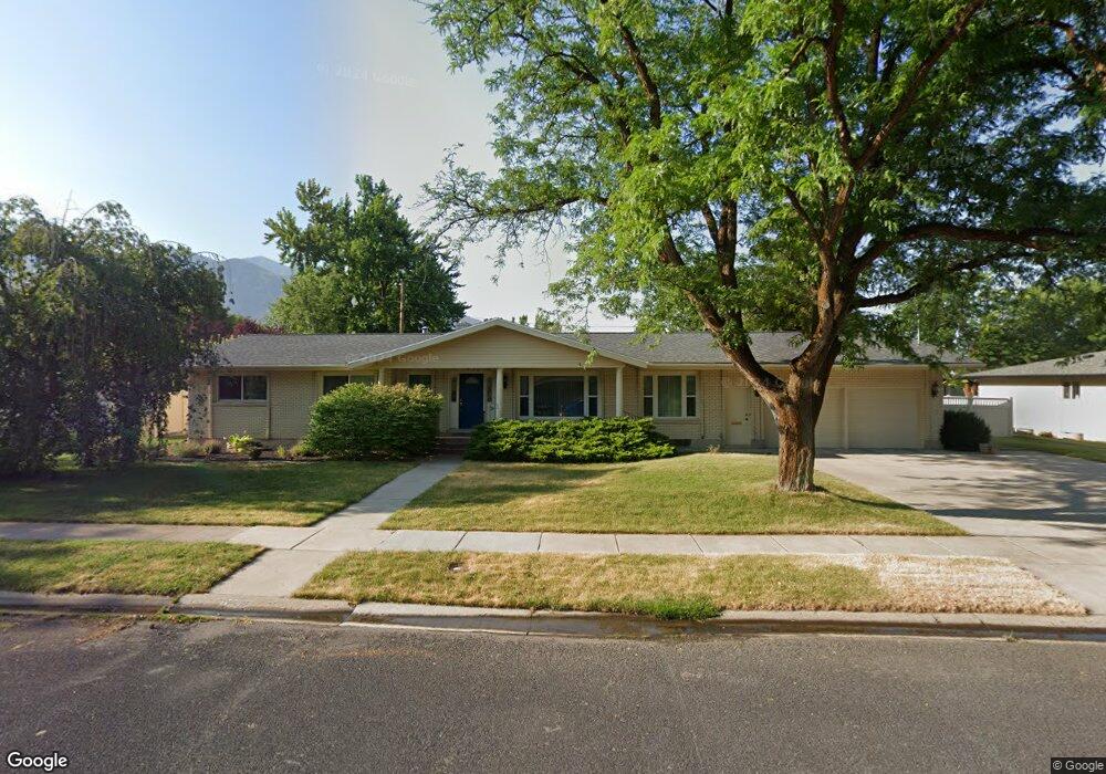
1636 E 1220 N Logan, UT 84341
Hillcrest NeighborhoodEstimated Value: $561,000 - $601,437
5
Beds
4
Baths
3,792
Sq Ft
$154/Sq Ft
Est. Value
About This Home
This home is located at 1636 E 1220 N, Logan, UT 84341 and is currently estimated at $584,359, approximately $154 per square foot. 1636 E 1220 N is a home located in Cache County with nearby schools including Hillcrest Elementary School, Mount Logan Middle School, and Logan High School.
Ownership History
Date
Name
Owned For
Owner Type
Purchase Details
Closed on
Sep 26, 2019
Sold by
Ward Joseph P and Grayzel Susan R
Bought by
Ward Joseph P and Grayzel Susan R
Current Estimated Value
Purchase Details
Closed on
Feb 6, 2017
Sold by
Simpson James Michael and The Stratford Dean Simpson And
Bought by
Ward Joseph P and Grayzel Susan R
Home Financials for this Owner
Home Financials are based on the most recent Mortgage that was taken out on this home.
Original Mortgage
$178,900
Outstanding Balance
$89,371
Interest Rate
4.2%
Mortgage Type
New Conventional
Estimated Equity
$494,988
Create a Home Valuation Report for This Property
The Home Valuation Report is an in-depth analysis detailing your home's value as well as a comparison with similar homes in the area
Home Values in the Area
Average Home Value in this Area
Purchase History
| Date | Buyer | Sale Price | Title Company |
|---|---|---|---|
| Ward Joseph P | -- | None Available | |
| Ward Joseph P | -- | Cache Title |
Source: Public Records
Mortgage History
| Date | Status | Borrower | Loan Amount |
|---|---|---|---|
| Open | Ward Joseph P | $178,900 |
Source: Public Records
Tax History Compared to Growth
Tax History
| Year | Tax Paid | Tax Assessment Tax Assessment Total Assessment is a certain percentage of the fair market value that is determined by local assessors to be the total taxable value of land and additions on the property. | Land | Improvement |
|---|---|---|---|---|
| 2025 | $246 | $317,525 | $0 | $0 |
| 2024 | $253 | $317,525 | $0 | $0 |
| 2023 | $2,645 | $315,875 | $0 | $0 |
| 2022 | $2,463 | $274,625 | $0 | $0 |
| 2021 | $2,330 | $401,400 | $75,000 | $326,400 |
| 2020 | $2,238 | $347,000 | $75,000 | $272,000 |
| 2019 | $2,320 | $344,077 | $75,000 | $269,077 |
| 2018 | $2,238 | $303,032 | $75,000 | $228,032 |
| 2017 | $1,986 | $142,230 | $0 | $0 |
| 2016 | $2,059 | $126,115 | $0 | $0 |
| 2015 | $1,828 | $126,115 | $0 | $0 |
| 2014 | $1,428 | $109,000 | $0 | $0 |
| 2013 | -- | $109,000 | $0 | $0 |
Source: Public Records
Map
Nearby Homes
- 975 N 1600 E
- Cedar Ridge Plan at Foothill Lofts
- Viewside Plan at Foothill Lofts
- Crimson Plan at Foothill Lofts
- Chamberlain Plan at Foothill Lofts
- Lincoln Plan at Foothill Lofts
- Hamilton Plan at Foothill Lofts
- Fairway Plan at Foothill Lofts
- Huntington Plan at Foothill Lofts
- Jefferson Plan at Foothill Lofts
- Monroe Plan at Foothill Lofts
- 1357 E 1220 N
- 1454 N 1400 E
- 1727 E 1500 N
- 1405 N Aspen Dr
- 1393 Davis Ave
- 1451 N Aspen Dr
- 1395 E Talmage Ln Unit 31
- 1374 N 1250 E
- 1465 N Stonecrest Ln Unit 14
- 1612 E 1220 N
- 1633 E 1185 N
- 1650 E 1220 N
- 1647 E 1185 N
- 1611 E 1185 N
- 1631 E 1220 N
- 1645 E 1220 N
- 1609 E 1220 N
- 1660 E 1220 N
- 1352 E 1220 N Unit 15
- 1367 E 1220 N Unit 23
- 1336 E 1220 N Unit 16
- 1228 E 1220 N Unit 18
- 1780 E 1220 N
- 1665 E 1185 N
- 1661 E 1220 N
- 1205 N 1600 E
- 1634 E 1185 N
- 1592 E 1220 N
- 1646 E 1185 N