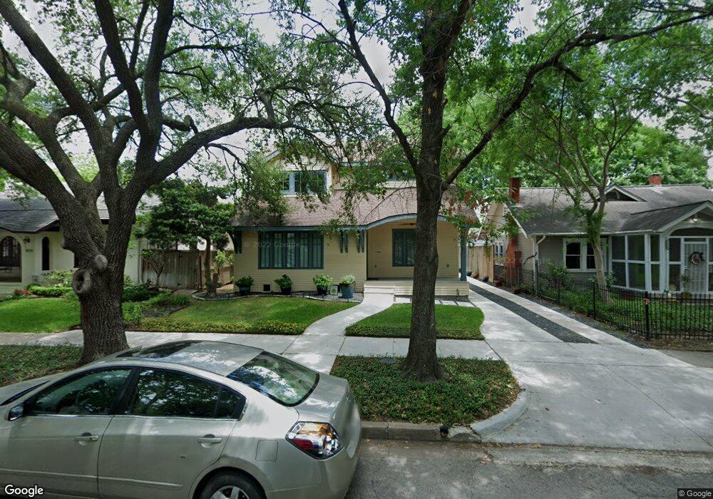
1636 Harold St Houston, TX 77006
Montrose NeighborhoodEstimated Value: $909,000 - $1,213,000
3
Beds
3
Baths
2,468
Sq Ft
$423/Sq Ft
Est. Value
About This Home
This home is located at 1636 Harold St, Houston, TX 77006 and is currently estimated at $1,043,295, approximately $422 per square foot. 1636 Harold St is a home located in Harris County with nearby schools including Baker Montessori, Lanier Middle School, and Lamar High School.
Ownership History
Date
Name
Owned For
Owner Type
Purchase Details
Closed on
Aug 17, 2004
Sold by
Paulson Steven E and Paulson Emily L
Bought by
Balter Peter
Current Estimated Value
Home Financials for this Owner
Home Financials are based on the most recent Mortgage that was taken out on this home.
Original Mortgage
$236,000
Outstanding Balance
$117,029
Interest Rate
6%
Mortgage Type
Purchase Money Mortgage
Estimated Equity
$926,266
Create a Home Valuation Report for This Property
The Home Valuation Report is an in-depth analysis detailing your home's value as well as a comparison with similar homes in the area
Home Values in the Area
Average Home Value in this Area
Purchase History
| Date | Buyer | Sale Price | Title Company |
|---|---|---|---|
| Balter Peter | -- | American Title Co |
Source: Public Records
Mortgage History
| Date | Status | Borrower | Loan Amount |
|---|---|---|---|
| Open | Balter Peter | $236,000 |
Source: Public Records
Tax History Compared to Growth
Tax History
| Year | Tax Paid | Tax Assessment Tax Assessment Total Assessment is a certain percentage of the fair market value that is determined by local assessors to be the total taxable value of land and additions on the property. | Land | Improvement |
|---|---|---|---|---|
| 2025 | $16,337 | $1,065,173 | $636,000 | $429,173 |
| 2024 | $16,337 | $1,026,115 | $583,000 | $443,115 |
| 2023 | $16,337 | $992,323 | $583,000 | $409,323 |
| 2022 | $18,816 | $854,539 | $424,000 | $430,539 |
| 2021 | $19,916 | $854,539 | $424,000 | $430,539 |
| 2020 | $22,265 | $919,436 | $487,600 | $431,836 |
| 2019 | $21,671 | $856,428 | $487,600 | $368,828 |
| 2018 | $15,560 | $614,910 | $457,125 | $157,785 |
| 2017 | $15,456 | $586,697 | $457,125 | $129,572 |
| 2016 | $14,051 | $551,004 | $396,175 | $154,829 |
| 2015 | $8,867 | $481,870 | $396,175 | $85,695 |
| 2014 | $8,867 | $479,313 | $335,225 | $144,088 |
Source: Public Records
Map
Nearby Homes
- 1660 Kipling St
- 1701 Hawthorne St
- 1620 Harold St
- 1660 Hawthorne St
- 1634 Marshall St
- 1612 Kipling St
- 1638 W Alabama St
- 1723 Marshall St
- 1612 W Alabama St Unit ABCD
- 1539 Westheimer Rd
- 3705 Mandell St Unit 8
- 1531 Marshall St Unit 3
- 1755 Kipling St
- 1517 Kipling St
- 1511 Kipling St
- 1640 Sul Ross St
- 2413 Ralph St Unit 2
- 1507 Kipling St
- 2506 Mandell St Unit 3
- 1503 Harold St
- 1630 Harold St
- 1638 Harold St
- 1628 Harold St
- 1644 Harold St
- 1637 Hawthorne St
- 1635 Hawthorne St
- 1624 Harold St
- 1641 Hawthorne St
- 1648 Harold St
- 1627 Hawthorne St
- 1635 Harold St
- 1629 Harold St
- 1623 Hawthorne St
- 1639 Harold St
- 1647 Hawthorne St
- 1645 Hawthorne St
- 1625 Harold St
- 1641 Harold St
- 1652 Harold St
- 1617 Hawthorne St