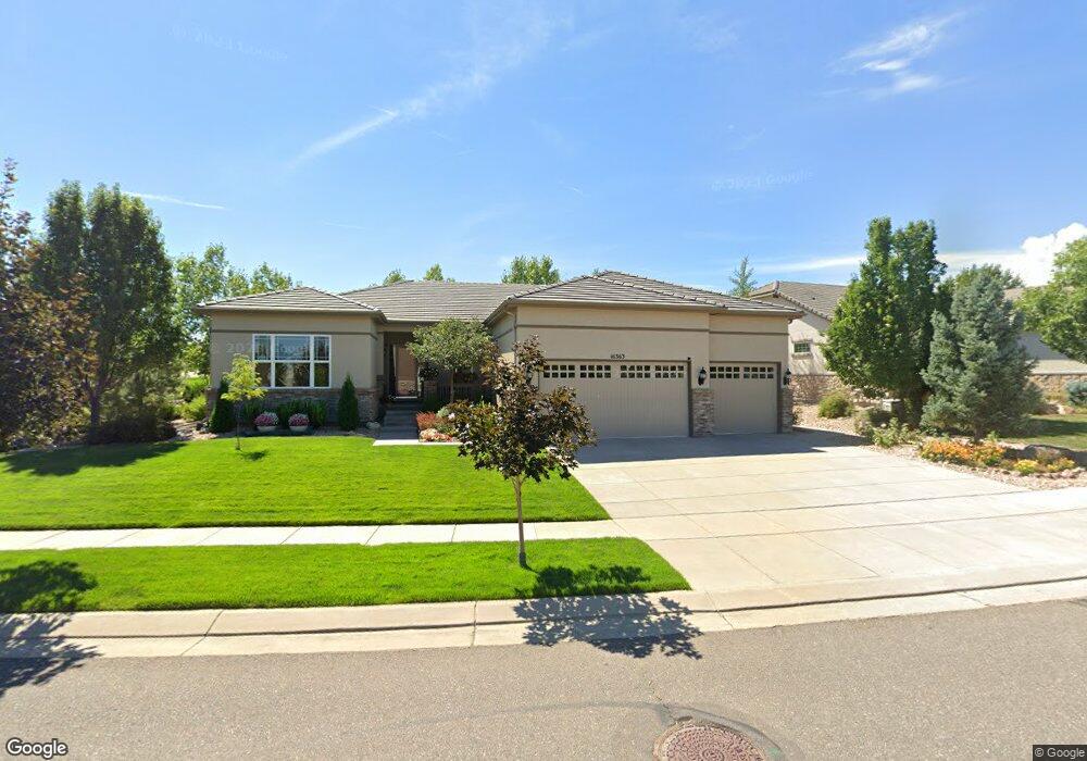
16363 Grays Way Broomfield, CO 80023
Anthem NeighborhoodEstimated Value: $929,719 - $1,140,000
2
Beds
3
Baths
2,625
Sq Ft
$400/Sq Ft
Est. Value
About This Home
This home is located at 16363 Grays Way, Broomfield, CO 80023 and is currently estimated at $1,049,180, approximately $399 per square foot. 16363 Grays Way is a home located in Broomfield County with nearby schools including Thunder Vista P-8, Legacy High School, and Prospect Ridge Academy.
Ownership History
Date
Name
Owned For
Owner Type
Purchase Details
Closed on
May 31, 2007
Sold by
Pulte Home Corp
Bought by
Peterson Ronald and Peterson Kathleen
Current Estimated Value
Home Financials for this Owner
Home Financials are based on the most recent Mortgage that was taken out on this home.
Original Mortgage
$300,000
Outstanding Balance
$183,270
Interest Rate
6.16%
Mortgage Type
Purchase Money Mortgage
Estimated Equity
$865,910
Create a Home Valuation Report for This Property
The Home Valuation Report is an in-depth analysis detailing your home's value as well as a comparison with similar homes in the area
Home Values in the Area
Average Home Value in this Area
Purchase History
| Date | Buyer | Sale Price | Title Company |
|---|---|---|---|
| Peterson Ronald | $469,390 | -- |
Source: Public Records
Mortgage History
| Date | Status | Borrower | Loan Amount |
|---|---|---|---|
| Open | Peterson Ronald | $300,000 |
Source: Public Records
Tax History Compared to Growth
Tax History
| Year | Tax Paid | Tax Assessment Tax Assessment Total Assessment is a certain percentage of the fair market value that is determined by local assessors to be the total taxable value of land and additions on the property. | Land | Improvement |
|---|---|---|---|---|
| 2025 | $6,461 | $59,200 | $13,940 | $45,260 |
| 2024 | $6,461 | $58,000 | $13,100 | $44,900 |
| 2023 | $6,410 | $64,000 | $14,460 | $49,540 |
| 2022 | $5,429 | $46,230 | $10,480 | $35,750 |
| 2021 | $5,602 | $47,560 | $10,780 | $36,780 |
| 2020 | $5,265 | $44,630 | $10,040 | $34,590 |
| 2019 | $5,286 | $44,940 | $10,110 | $34,830 |
| 2018 | $5,193 | $42,420 | $7,920 | $34,500 |
| 2017 | $5,851 | $46,910 | $8,760 | $38,150 |
| 2016 | $5,832 | $40,150 | $8,760 | $31,390 |
| 2015 | $6,073 | $33,800 | $8,760 | $25,040 |
| 2014 | $5,431 | $33,800 | $8,760 | $25,040 |
Source: Public Records
Map
Nearby Homes
- 4680 Belford Cir
- 16075 Meeker Way
- 16615 Ellingwood Dr
- 16505 Antero Cir
- 15975 Quandary Loop
- 4636 Belford Cir
- 16626 Las Brisas Dr
- 16526 Chesapeake Dr
- 4263 Corte Bella Dr
- 15739 Columbus Mountain Dr
- 16320 Graham Peak Way
- 3741 Harvard Place
- 16345 Spanish Peak Way
- 16273 Ute Peak Way
- 15875 Wild Horse Dr
- 16392 Spanish Peak Way
- 16611 Plateau Ln
- 3457 Parkside Center Dr
- 16371 Jones Mountain Way
- 3481 Vestal Loop
- 16373 Grays Way
- 4943 Kit Carson Dr
- 16404 Graystone Ct
- 16383 Grays Way
- 4953 Kit Carson Dr
- 16401 Graystone Ct
- 4963 Kit Carson Dr
- 16424 Graystone Ct
- 16261 Red Mountain Way
- 4392 Kit Carson Dr
- 16271 Red Mountain Way
- 16393 Grays Way
- 16411 Graystone Ct
- 16281 Red Mountain Way
- 4973 Kit Carson Dr
- 16241 Red Mountain Way
- 16434 Graystone Ct
- 16421 Graystone Ct
- 16291 Red Mountain Way
- 4983 Kit Carson Dr