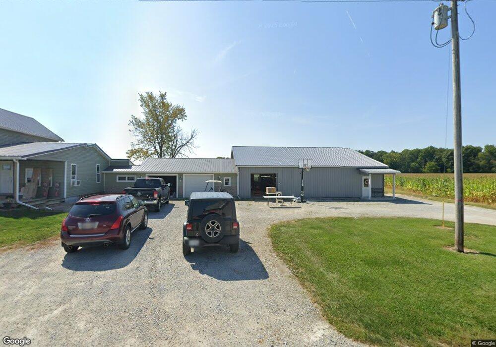
16364 State Route 37 Forest, OH 45843
Estimated Value: $140,693 - $181,000
--
Bed
--
Bath
1,790
Sq Ft
$87/Sq Ft
Est. Value
About This Home
This home is located at 16364 State Route 37, Forest, OH 45843 and is currently estimated at $155,923, approximately $87 per square foot. 16364 State Route 37 is a home with nearby schools including Riverdale Middle School and Riverdale High School.
Ownership History
Date
Name
Owned For
Owner Type
Purchase Details
Closed on
Oct 5, 2007
Sold by
Hemmerly Mary Louise
Bought by
Berger Matthew P and Berger Lindsey N
Current Estimated Value
Home Financials for this Owner
Home Financials are based on the most recent Mortgage that was taken out on this home.
Original Mortgage
$73,000
Outstanding Balance
$46,263
Interest Rate
6.5%
Mortgage Type
Purchase Money Mortgage
Estimated Equity
$109,660
Purchase Details
Closed on
Jul 3, 2003
Bought by
Hemmerly Michael D
Create a Home Valuation Report for This Property
The Home Valuation Report is an in-depth analysis detailing your home's value as well as a comparison with similar homes in the area
Home Values in the Area
Average Home Value in this Area
Purchase History
| Date | Buyer | Sale Price | Title Company |
|---|---|---|---|
| Berger Matthew P | $70,000 | None Available | |
| Hemmerly Michael D | $75,500 | -- |
Source: Public Records
Mortgage History
| Date | Status | Borrower | Loan Amount |
|---|---|---|---|
| Open | Berger Matthew P | $73,000 |
Source: Public Records
Tax History Compared to Growth
Tax History
| Year | Tax Paid | Tax Assessment Tax Assessment Total Assessment is a certain percentage of the fair market value that is determined by local assessors to be the total taxable value of land and additions on the property. | Land | Improvement |
|---|---|---|---|---|
| 2024 | $1,048 | $37,660 | $6,360 | $31,300 |
| 2023 | $1,048 | $37,660 | $6,360 | $31,300 |
| 2022 | $1,112 | $32,690 | $5,530 | $27,160 |
| 2021 | $1,091 | $32,690 | $5,530 | $27,160 |
| 2020 | $1,092 | $32,690 | $5,530 | $27,160 |
| 2019 | $1,085 | $32,690 | $5,530 | $27,160 |
| 2018 | $767 | $24,730 | $4,940 | $19,790 |
| 2017 | $780 | $24,730 | $4,940 | $19,790 |
| 2016 | $732 | $24,730 | $4,940 | $19,790 |
| 2015 | -- | $23,970 | $4,940 | $19,030 |
| 2014 | -- | $23,970 | $4,940 | $19,030 |
| 2013 | -- | $23,970 | $4,940 | $19,030 |
Source: Public Records
Map
Nearby Homes
- 15418 Ohio 37
- 14319 County Highway 64
- 18205 County Highway 96
- 16877 State Route 67
- 14471 Township Highway 71
- 21109 State Route 67
- 3065 County Road 205
- 603 S Gormley St
- 0 S Patterson St
- 412 S Patterson St
- 0 S Davis St
- 312 Louisa St
- 109 S Davis St
- 615 W Gage St
- 10483 Township Road 225
- 0000 Musson Rd
- 18579 Township Highway 49
- 18579 Township Road 49
- 11650 Township Highway 103
- 0 Township Road 64
- 16509 State Route 37
- 17591 Township Highway 64
- 17591 Township Highway 64
- 15482 State Route 37
- 16862 Township Highway 64
- 15738 State Route 37
- 16409 County Highway 86
- 17933 Township Highway 64
- 16416 County Highway 86
- 17165 Township Highway 86
- 16044 County Highway 86
- 0 Township Highway 64 Unit H129469
- 0 Township Highway 64 Unit H131139
- 17055 State Route 37
- 15513 Township Highway 87
- 14931 Twp Hwy
- 17171 State Route 37
- 15530 County Highway 86
- 17171 Ohio 37
- 16995 County Highway 86