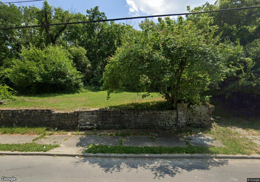
1637 Carll St Cincinnati, OH 45225
North Fairmount NeighborhoodEstimated Value: $78,000 - $186,000
3
Beds
2
Baths
1,790
Sq Ft
$78/Sq Ft
Est. Value
About This Home
This home is located at 1637 Carll St, Cincinnati, OH 45225 and is currently estimated at $139,667, approximately $78 per square foot. 1637 Carll St is a home located in Hamilton County with nearby schools including Ethel M. Taylor Academy, Robert A. Taft Information Technology High School, and Gilbert A. Dater High School.
Ownership History
Date
Name
Owned For
Owner Type
Purchase Details
Closed on
Oct 15, 2024
Sold by
Sheriff Of Hamilton County Ohio
Bought by
Hamilton County Land Reutilization Corporatio
Current Estimated Value
Purchase Details
Closed on
Sep 27, 2021
Sold by
Hamilton County
Bought by
Borthwick Richard
Purchase Details
Closed on
Aug 31, 2009
Sold by
The Bank Of New York Mellon
Bought by
Crb Management Llc
Purchase Details
Closed on
Dec 16, 2008
Sold by
Cooper Eddie L and Cooper Oona
Bought by
The Bank Of New York
Purchase Details
Closed on
Nov 13, 2002
Sold by
Juanita Hickson
Bought by
Cooper Eddie L
Purchase Details
Closed on
Oct 10, 1995
Sold by
Redden Virgil L and Redden Catherine W
Bought by
Hickson Juanita
Purchase Details
Closed on
Sep 19, 1995
Sold by
Gutter U Z
Bought by
Hickson Juanita
Create a Home Valuation Report for This Property
The Home Valuation Report is an in-depth analysis detailing your home's value as well as a comparison with similar homes in the area
Home Values in the Area
Average Home Value in this Area
Purchase History
| Date | Buyer | Sale Price | Title Company |
|---|---|---|---|
| Hamilton County Land Reutilization Corporatio | -- | None Listed On Document | |
| Hamilton County Land Reutilization Corporatio | -- | None Listed On Document | |
| Hamilton County Land Reutilization Corporatio | -- | None Listed On Document | |
| Borthwick Richard | -- | None Available | |
| Crb Management Llc | $7,800 | Federated Land Title Agency | |
| The Bank Of New York | $16,000 | None Available | |
| Cooper Eddie L | $65,000 | American Security Title Co | |
| Hickson Juanita | -- | -- | |
| Hickson Juanita | -- | -- |
Source: Public Records
Tax History
| Year | Tax Paid | Tax Assessment Tax Assessment Total Assessment is a certain percentage of the fair market value that is determined by local assessors to be the total taxable value of land and additions on the property. | Land | Improvement |
|---|---|---|---|---|
| 2025 | -- | $161 | $161 | -- |
| 2024 | $18 | $161 | $161 | -- |
| 2023 | $2,196 | $161 | $161 | $0 |
| 2022 | $2,454 | $1,257 | $1,257 | $0 |
| 2021 | $2,630 | $1,257 | $1,257 | $0 |
| 2020 | $2,810 | $1,257 | $1,257 | $0 |
| 2019 | $3,575 | $4,494 | $1,141 | $3,353 |
| 2018 | $941 | $4,494 | $1,141 | $3,353 |
| 2017 | $926 | $4,494 | $1,141 | $3,353 |
| 2016 | $599 | $2,759 | $1,425 | $1,334 |
| 2015 | $2,330 | $2,759 | $1,425 | $1,334 |
| 2014 | $191 | $2,759 | $1,425 | $1,334 |
| 2013 | $193 | $2,731 | $1,411 | $1,320 |
Source: Public Records
Map
Nearby Homes
- 1674 Baltimore Ave
- 2658 Linden St
- 2656 Linden St
- 2654 Linden St
- 2652 Linden St
- 2650 Linden St
- 1613 Pulte St
- 1607 Pulte St
- 1646 Pulte St
- 2911 Moosewood Ct
- 1642 Sutter Ave
- 2568 Trevor Place
- 2572 Liddell St
- 2594 Seegar Ave
- 2564 Linden St
- 1781 Baltimore Ave
- 1793 Baltimore Ave
- 1797 Denham St
- 1808 Carll St
- 1823 Waverly Ave
Your Personal Tour Guide
Ask me questions while you tour the home.