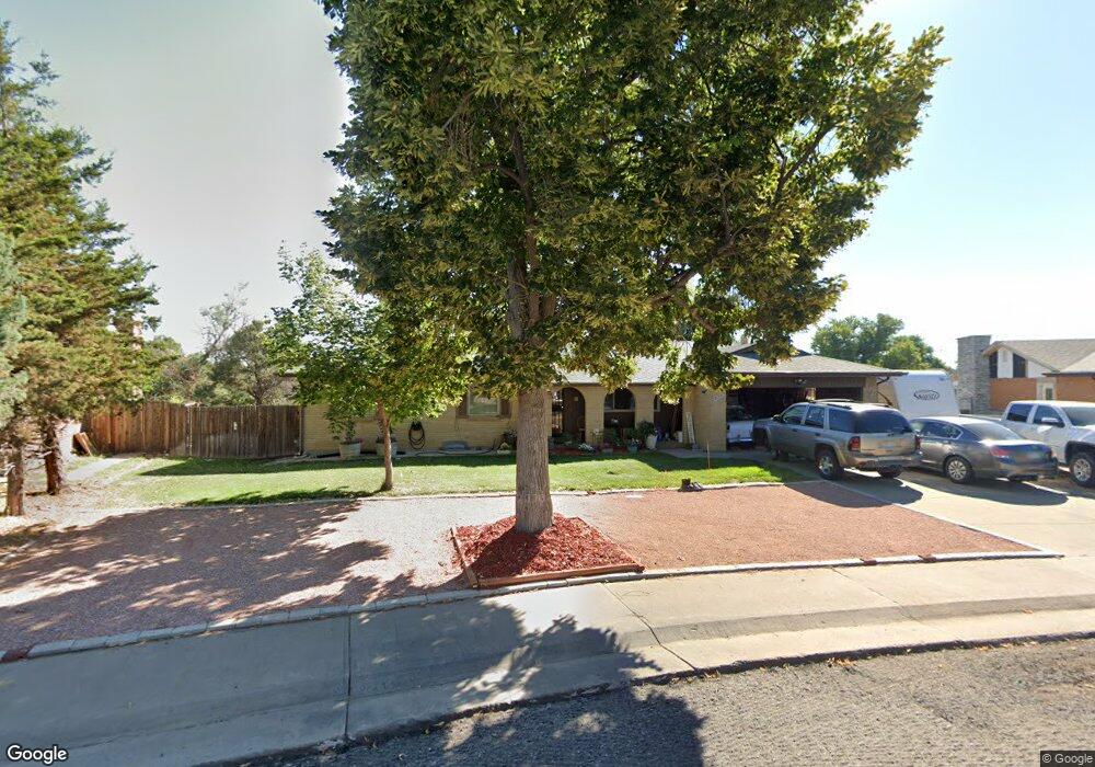
16373 E 7th Dr Aurora, CO 80011
Laredo Highline NeighborhoodEstimated Value: $466,009 - $586,000
3
Beds
4
Baths
1,435
Sq Ft
$354/Sq Ft
Est. Value
About This Home
This home is located at 16373 E 7th Dr, Aurora, CO 80011 and is currently estimated at $508,502, approximately $354 per square foot. 16373 E 7th Dr is a home located in Arapahoe County with nearby schools including Laredo Elementary School, East Middle School, and Hinkley High School.
Ownership History
Date
Name
Owned For
Owner Type
Purchase Details
Closed on
Oct 24, 2002
Sold by
Grant Bryan D
Bought by
Rivas Manuel
Current Estimated Value
Home Financials for this Owner
Home Financials are based on the most recent Mortgage that was taken out on this home.
Original Mortgage
$180,000
Outstanding Balance
$72,451
Interest Rate
6%
Estimated Equity
$436,051
Purchase Details
Closed on
Jun 15, 2000
Sold by
Grant Raymond E
Bought by
Grant Bryan D
Purchase Details
Closed on
Jan 15, 1999
Sold by
Netz Norris G and Netz Elaine F
Bought by
Grant Raymond E
Home Financials for this Owner
Home Financials are based on the most recent Mortgage that was taken out on this home.
Original Mortgage
$104,230
Interest Rate
6.66%
Mortgage Type
Stand Alone First
Purchase Details
Closed on
Sep 1, 1977
Sold by
Conversion Arapco
Bought by
Conversion Arapco
Purchase Details
Closed on
Jul 4, 1776
Bought by
Conversion Arapco
Create a Home Valuation Report for This Property
The Home Valuation Report is an in-depth analysis detailing your home's value as well as a comparison with similar homes in the area
Home Values in the Area
Average Home Value in this Area
Purchase History
| Date | Buyer | Sale Price | Title Company |
|---|---|---|---|
| Rivas Manuel | $225,000 | First American Heritage Titl | |
| Grant Bryan D | -- | -- | |
| Grant Raymond E | $148,900 | Land Title | |
| Conversion Arapco | -- | -- | |
| Conversion Arapco | -- | -- |
Source: Public Records
Mortgage History
| Date | Status | Borrower | Loan Amount |
|---|---|---|---|
| Open | Rivas Manuel | $180,000 | |
| Previous Owner | Grant Raymond E | $104,230 | |
| Closed | Grant Raymond E | $29,780 |
Source: Public Records
Tax History
| Year | Tax Paid | Tax Assessment Tax Assessment Total Assessment is a certain percentage of the fair market value that is determined by local assessors to be the total taxable value of land and additions on the property. | Land | Improvement |
|---|---|---|---|---|
| 2025 | $2,557 | $32,312 | -- | -- |
| 2024 | $3,102 | $33,380 | -- | -- |
| 2023 | $3,102 | $33,380 | $0 | $0 |
| 2022 | $2,818 | $28,064 | $0 | $0 |
| 2021 | $2,909 | $28,064 | $0 | $0 |
| 2020 | $2,732 | $26,234 | $0 | $0 |
| 2019 | $2,717 | $26,234 | $0 | $0 |
| 2018 | $2,247 | $21,247 | $0 | $0 |
| 2017 | $1,954 | $21,247 | $0 | $0 |
| 2016 | $1,481 | $15,768 | $0 | $0 |
| 2015 | $1,430 | $15,768 | $0 | $0 |
| 2014 | -- | $11,104 | $0 | $0 |
| 2013 | -- | $11,250 | $0 | $0 |
Source: Public Records
Map
Nearby Homes
- 745 Mobile St
- 757 Norfolk Way
- 752 Lewiston St
- 15950 E 6th Ave
- 15863 E 7th Ave
- 803 Nucla St
- 1052 Lewiston St
- 808 Idalia St
- 1053 N Joplin St Unit 1
- 1074 N Joplin St Unit 5
- 1063 N Joplin St Unit 2
- 16010 E 11th Ave
- 15362 E 8th Ave
- 337 Ivory Cir
- 1168 Nucla St
- 1064 Chambers Ct Unit 108
- 1313 Laredo St
- 681 Fraser St
- 1280 Airport Blvd
- 608 Evanston St
- 16353 E 7th Dr
- 16393 E 7th Dr
- 16333 E 7th Dr
- 16372 E 7th Dr
- 16480 E Severn Place
- 16472 E Severn Place
- 16470 E Severn Place
- 16482 E Severn Place
- 16313 E 7th Dr
- 16332 E 7th Dr
- 625 Norfolk Way
- 615 Norfolk Way
- 16462 E Severn Place
- 605 Norfolk Way
- 16460 E Severn Place
- 16276 E 6th Place
- 16450 E Severn Place
- 16290 E 7th Dr
- 16261 E 7th Dr
- 16261 E 7th Cir
Your Personal Tour Guide
Ask me questions while you tour the home.