16377 Parker St Decatur, MI 49045
Estimated Value: $319,000 - $523,042
2
Beds
2
Baths
528
Sq Ft
$781/Sq Ft
Est. Value
About This Home
This home is located at 16377 Parker St, Decatur, MI 49045 and is currently estimated at $412,511, approximately $781 per square foot. 16377 Parker St is a home located in Cass County with nearby schools including Marcellus Elementary School and Marcellus High School.
Ownership History
Date
Name
Owned For
Owner Type
Purchase Details
Closed on
Nov 23, 2015
Sold by
Collins Leland N
Bought by
Collins Melissa L
Current Estimated Value
Home Financials for this Owner
Home Financials are based on the most recent Mortgage that was taken out on this home.
Original Mortgage
$120,000
Interest Rate
3.97%
Purchase Details
Closed on
Sep 11, 2012
Sold by
Gaarder Allen G and Gaarder Amy L
Bought by
Collins Leland N and Collins Melissa L
Home Financials for this Owner
Home Financials are based on the most recent Mortgage that was taken out on this home.
Original Mortgage
$108,000
Interest Rate
3.56%
Purchase Details
Closed on
Apr 20, 2007
Sold by
Folke Kurt A and Folke Bernadette
Bought by
Gaarder Allen G and Gaarder Amy L
Home Financials for this Owner
Home Financials are based on the most recent Mortgage that was taken out on this home.
Original Mortgage
$158,800
Interest Rate
6.25%
Create a Home Valuation Report for This Property
The Home Valuation Report is an in-depth analysis detailing your home's value as well as a comparison with similar homes in the area
Home Values in the Area
Average Home Value in this Area
Purchase History
| Date | Buyer | Sale Price | Title Company |
|---|---|---|---|
| Collins Melissa L | -- | Cfc Title Services Inc | |
| Collins Leland N | $135,000 | Metro Advantage Title Agency | |
| Gaarder Allen G | $198,500 | Metropolitan Title |
Source: Public Records
Mortgage History
| Date | Status | Borrower | Loan Amount |
|---|---|---|---|
| Previous Owner | Collins Melissa L | $120,000 | |
| Previous Owner | Collins Leland N | $108,000 | |
| Previous Owner | Gaarder Allen G | $158,800 |
Source: Public Records
Tax History Compared to Growth
Tax History
| Year | Tax Paid | Tax Assessment Tax Assessment Total Assessment is a certain percentage of the fair market value that is determined by local assessors to be the total taxable value of land and additions on the property. | Land | Improvement |
|---|---|---|---|---|
| 2025 | $4,463 | $226,500 | $226,500 | $0 |
| 2024 | $1,392 | $226,700 | $226,700 | $0 |
| 2023 | $1,327 | $171,300 | $0 | $0 |
| 2022 | $1,264 | $151,700 | $0 | $0 |
| 2021 | $3,514 | $133,100 | $0 | $0 |
| 2020 | $1,213 | $113,100 | $0 | $0 |
| 2019 | $2,042 | $58,800 | $0 | $0 |
| 2018 | $603 | $56,100 | $0 | $0 |
| 2017 | $658 | $61,800 | $0 | $0 |
| 2016 | $652 | $92,900 | $0 | $0 |
| 2015 | -- | $83,900 | $0 | $0 |
| 2011 | -- | $49,300 | $0 | $0 |
Source: Public Records
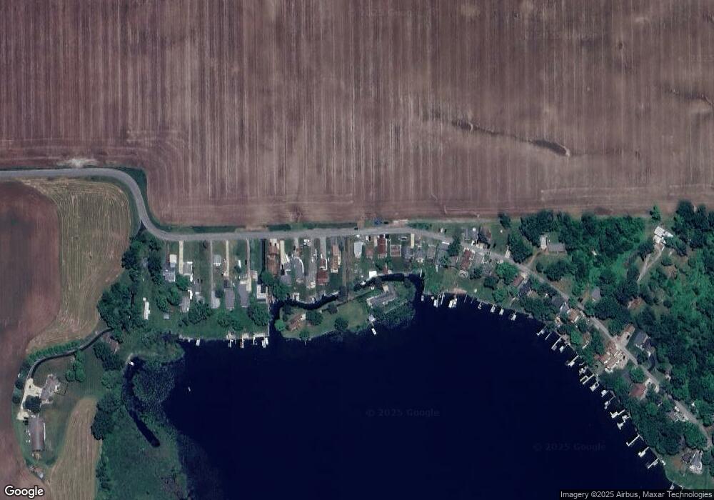
Map
Nearby Homes
- 16025 Oak St
- 16894 Finch Rd
- 32680 South St
- 16937 Marcellus Hwy
- 14807 Huyck Lake Ln Unit 10
- 53987 Burlington Rd
- 19264 Marcellus Hwy
- 56797 Michigan 40
- 30029 Shaw Rd
- 226 W Dibble St
- 51066 Maple Rd
- 13486 Pioneer St
- 51130 Maple Rd
- 51156 Maple Rd
- 10060 Michigan 216
- 51140 Maple Rd
- 89589 Shorelane Dr
- 89465 Shorelane Dr
- 237 E Arbor St
- 287 E Dibble St