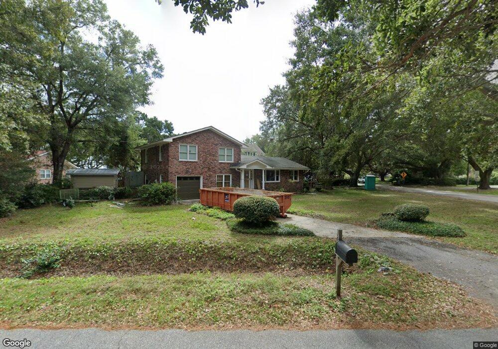
1638 Fort Lamar Rd Charleston, SC 29412
James Island NeighborhoodEstimated Value: $641,365 - $736,000
3
Beds
2
Baths
1,820
Sq Ft
$369/Sq Ft
Est. Value
About This Home
This home is located at 1638 Fort Lamar Rd, Charleston, SC 29412 and is currently estimated at $671,091, approximately $368 per square foot. 1638 Fort Lamar Rd is a home located in Charleston County with nearby schools including James Island Elementary School, Camp Road Middle, and Septima P Clark Corporate Academy.
Ownership History
Date
Name
Owned For
Owner Type
Purchase Details
Closed on
Dec 22, 2016
Sold by
Ashby Mason and Ashby Adrienne
Bought by
Nadolny Michael and Nadolny Noel Ashby
Current Estimated Value
Home Financials for this Owner
Home Financials are based on the most recent Mortgage that was taken out on this home.
Original Mortgage
$176,000
Outstanding Balance
$143,928
Interest Rate
3.94%
Mortgage Type
New Conventional
Estimated Equity
$527,163
Purchase Details
Closed on
May 6, 2010
Sold by
Ashby Mason and Ashby Adrienne
Bought by
Ashby Mason and Ashby Adrienne
Purchase Details
Closed on
Mar 8, 2007
Sold by
Mccurry Paul M
Bought by
Ashby Mason and Ashby Adrienne
Purchase Details
Closed on
Sep 30, 2004
Sold by
Knight Lillie C
Bought by
Mccurry Paul M
Create a Home Valuation Report for This Property
The Home Valuation Report is an in-depth analysis detailing your home's value as well as a comparison with similar homes in the area
Home Values in the Area
Average Home Value in this Area
Purchase History
| Date | Buyer | Sale Price | Title Company |
|---|---|---|---|
| Nadolny Michael | $300,000 | None Available | |
| Ashby Mason | -- | -- | |
| Ashby Mason | $288,000 | None Available | |
| Mccurry Paul M | $255,000 | -- | |
| Mccurry Paul M | $255,000 | -- |
Source: Public Records
Mortgage History
| Date | Status | Borrower | Loan Amount |
|---|---|---|---|
| Open | Nadolny Michael | $176,000 |
Source: Public Records
Tax History Compared to Growth
Tax History
| Year | Tax Paid | Tax Assessment Tax Assessment Total Assessment is a certain percentage of the fair market value that is determined by local assessors to be the total taxable value of land and additions on the property. | Land | Improvement |
|---|---|---|---|---|
| 2024 | $1,784 | $12,000 | $0 | $0 |
| 2023 | $1,699 | $12,000 | $0 | $0 |
| 2022 | $1,567 | $12,000 | $0 | $0 |
| 2021 | $1,633 | $12,000 | $0 | $0 |
| 2020 | $1,631 | $12,000 | $0 | $0 |
| 2019 | $1,727 | $12,000 | $0 | $0 |
| 2017 | $1,610 | $12,000 | $0 | $0 |
| 2016 | $3,031 | $12,010 | $0 | $0 |
| 2015 | $2,878 | $12,010 | $0 | $0 |
| 2014 | $3,194 | $0 | $0 | $0 |
| 2011 | -- | $0 | $0 | $0 |
Source: Public Records
Map
Nearby Homes
- 0 Rafael Ln
- 1250 Seaside Plantation Dr
- 100 Oak Turn Rd
- 1138 Cottage Rd
- 1462 Harborsun Dr
- 166 Sea Cotton Cir
- 1522 Harborsun Dr
- 1344 Teal Ave
- 1333 Teal Ave
- 667 Goodlet Cir
- 1245 Lakefront Dr
- 1445 Swamp Angel Ct
- 1568 Harborsun Dr
- 746 Goodlet Cir
- 742 Majestic Oak Dr
- 1427 Battle Ground Rd
- 1410 Ordinance Point
- 1138 Oxbow Dr
- 1601 Secessionville Rd
- 1436 Battalion Dr
- 1663 Fort Lamar Rd
- 1657 Fort Lamar Rd
- 1669 Fort Lamar Rd
- 1659 Fort Lamar Rd
- 1675 Fort Lamar Rd
- 1653 Fort Lamar Rd
- 1128 Fort Lamar Rd
- 1120 Fort Lamar Rd
- 0 Ft Lamar Rd Unit 2016032
- 0 Ft Lamar Rd Unit 9909979
- 0 Ft Lamar Rd Unit 2116180
- 0 Ft Lamar Rd Unit 2928351
- 1118 Peter McEnry Rd
- 1134 Peter McEnry Rd
- 1126 Peter McEnry Rd
- 1122 Peter McEnry Rd
- 1106 Peter McEnry Rd
- 744 Goodlet Cir
- 1687 Fort Lamar Rd
- 1112 Fort Lamar Rd