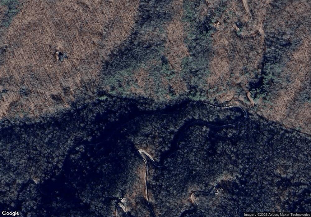
1638 Mountain Laurel Rd Bryson City, NC 28713
Estimated Value: $375,000 - $755,000
4
Beds
3
Baths
3,904
Sq Ft
$152/Sq Ft
Est. Value
About This Home
This home is located at 1638 Mountain Laurel Rd, Bryson City, NC 28713 and is currently estimated at $593,374, approximately $151 per square foot. 1638 Mountain Laurel Rd is a home located in Swain County with nearby schools including Swain County Middle School, Swain County East Elementary School, and Swain County High School.
Ownership History
Date
Name
Owned For
Owner Type
Purchase Details
Closed on
Feb 28, 2018
Sold by
Sparks Nancy C
Bought by
Moreland Mark A
Current Estimated Value
Home Financials for this Owner
Home Financials are based on the most recent Mortgage that was taken out on this home.
Original Mortgage
$241,500
Outstanding Balance
$204,385
Interest Rate
3.87%
Mortgage Type
Adjustable Rate Mortgage/ARM
Estimated Equity
$388,989
Purchase Details
Closed on
Sep 20, 2007
Sold by
Edwards John Ralph and Edwards Dawn M
Bought by
Sparks Nancy C
Purchase Details
Closed on
Mar 21, 2006
Sold by
Gossett David and Gossett Jane
Bought by
Edwards John Ralph
Home Financials for this Owner
Home Financials are based on the most recent Mortgage that was taken out on this home.
Original Mortgage
$18,000
Interest Rate
6.19%
Mortgage Type
Purchase Money Mortgage
Create a Home Valuation Report for This Property
The Home Valuation Report is an in-depth analysis detailing your home's value as well as a comparison with similar homes in the area
Home Values in the Area
Average Home Value in this Area
Purchase History
| Date | Buyer | Sale Price | Title Company |
|---|---|---|---|
| Moreland Mark A | $345,000 | None Available | |
| Sparks Nancy C | $450,000 | None Available | |
| Edwards John Ralph | $20,000 | -- |
Source: Public Records
Mortgage History
| Date | Status | Borrower | Loan Amount |
|---|---|---|---|
| Open | Moreland Mark A | $241,500 | |
| Previous Owner | Edwards John Ralph | $18,000 |
Source: Public Records
Tax History Compared to Growth
Tax History
| Year | Tax Paid | Tax Assessment Tax Assessment Total Assessment is a certain percentage of the fair market value that is determined by local assessors to be the total taxable value of land and additions on the property. | Land | Improvement |
|---|---|---|---|---|
| 2025 | $1,543 | $348,310 | $57,990 | $290,320 |
| 2024 | $1,543 | $348,310 | $57,990 | $290,320 |
| 2023 | $1,369 | $348,310 | $57,990 | $290,320 |
| 2022 | $1,369 | $348,310 | $57,990 | $290,320 |
| 2021 | $1,369 | $348,310 | $0 | $0 |
| 2020 | $1,069 | $276,000 | $39,820 | $236,180 |
| 2019 | $1,069 | $276,000 | $39,820 | $236,180 |
| 2018 | $1,068 | $276,000 | $39,820 | $236,180 |
| 2017 | $1,068 | $275,960 | $39,820 | $236,140 |
| 2016 | $1,068 | $275,960 | $39,820 | $236,140 |
| 2015 | -- | $275,960 | $39,820 | $236,140 |
| 2014 | -- | $275,960 | $39,820 | $236,140 |
Source: Public Records
Map
Nearby Homes
- 00 Riverside Dr Unit 33/34
- 0 Riverside Dr Unit 18 CAR4255475
- 00 Riverside Dr
- 0 Riverside Dr
- 1500 Mountain Laurel Dr
- 261 Holley Mountain Top Rd
- 849 Riverside Dr
- 412 Holley Mountain Top Rd
- 44 Riverside Dr
- 383 Blue Mist Mountain Rd
- 231 Luftee Hills Rd
- 6125 Ela Rd
- 190 Ela Heights Rd
- 41 Dam Rd
- 331 Ela Heights Rd
- 5454 Ela Rd
- 4 & 6 Skyview Rd
- 51 Kenneth Cooper Rd
- 415 Skyview Rd
- 111 Kenneth Cooper Rd
- 1638 Mountain Laurel Dr
- Lot #21 Riverside Dr Unit 21
- 1621 Mountain Laurel Dr
- 577 Riverside Dr
- 1670 Mountain Laurel Dr
- 579 Riverside Dr
- 490 Riverside Dr
- 1685 Mountain Laurel Dr
- 0 Mountain Laurel Dr
- 1550 Mountain Laurel Dr
- 633 Riverside Dr
- 139 Rhododendron Hill
- TBD Riverside Dr
- lot 21 Riverside Dr
- n/a Riverside Dr
- 579 Riverside Dr
- 3 Rhododendron Hill
- 533 Riverside Dr
- 531 Riverside Dr
- 1450 Mountain Laurel Dr
