Estimated Value: $205,000 - $221,000
3
Beds
2
Baths
1,296
Sq Ft
$162/Sq Ft
Est. Value
About This Home
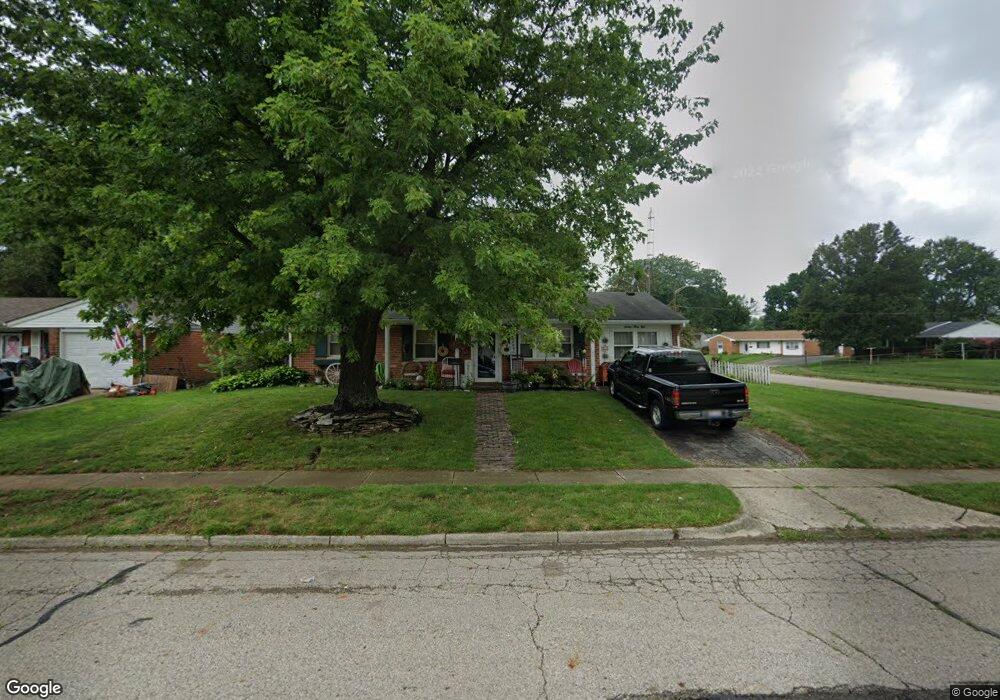
This home is located at 1638 Sioux Dr, Xenia, OH 45385 and is currently estimated at $209,330, approximately $161 per square foot. 1638 Sioux Dr is a home located in Greene County with nearby schools including Xenia High School, Summit Academy Community School for Alternative Learners - Xenia, and Legacy Christian Academy.
Ownership History
Date
Name
Owned For
Owner Type
Purchase Details
Closed on
Oct 24, 2002
Sold by
Burrell Michael J and Burrell Karen J
Bought by
Hull William K and Hull Sandra L
Current Estimated Value
Home Financials for this Owner
Home Financials are based on the most recent Mortgage that was taken out on this home.
Original Mortgage
$92,090
Interest Rate
6.18%
Mortgage Type
FHA
Purchase Details
Closed on
Dec 17, 1998
Sold by
Martin Richard H and Martin Linda K
Bought by
Burrell Michael J and Burrell Karen J
Home Financials for this Owner
Home Financials are based on the most recent Mortgage that was taken out on this home.
Original Mortgage
$71,000
Interest Rate
7.02%
Create a Home Valuation Report for This Property
The Home Valuation Report is an in-depth analysis detailing your home's value as well as a comparison with similar homes in the area
Home Values in the Area
Average Home Value in this Area
Purchase History
| Date | Buyer | Sale Price | Title Company |
|---|---|---|---|
| Hull William K | $93,600 | -- | |
| Burrell Michael J | $78,900 | -- |
Source: Public Records
Mortgage History
| Date | Status | Borrower | Loan Amount |
|---|---|---|---|
| Previous Owner | Hull William K | $92,090 | |
| Previous Owner | Burrell Michael J | $71,000 |
Source: Public Records
Tax History Compared to Growth
Tax History
| Year | Tax Paid | Tax Assessment Tax Assessment Total Assessment is a certain percentage of the fair market value that is determined by local assessors to be the total taxable value of land and additions on the property. | Land | Improvement |
|---|---|---|---|---|
| 2024 | $2,205 | $51,540 | $12,520 | $39,020 |
| 2023 | $2,205 | $51,540 | $12,520 | $39,020 |
| 2022 | $1,798 | $36,760 | $7,360 | $29,400 |
| 2021 | $1,822 | $36,760 | $7,360 | $29,400 |
| 2020 | $1,744 | $36,760 | $7,360 | $29,400 |
| 2019 | $1,664 | $33,020 | $7,200 | $25,820 |
| 2018 | $1,671 | $33,020 | $7,200 | $25,820 |
| 2017 | $1,554 | $33,020 | $7,200 | $25,820 |
| 2016 | $1,554 | $30,160 | $7,200 | $22,960 |
| 2015 | $1,558 | $30,160 | $7,200 | $22,960 |
| 2014 | $1,491 | $30,160 | $7,200 | $22,960 |
Source: Public Records
Map
Nearby Homes
- 1618 Navajo Dr
- 1778 Arapaho Dr
- 1653 Seneca Dr
- 1403 Texas Dr
- 1568 Cheyenne Dr
- 1144 Rockwell Dr
- 1272 Bellbrook Ave
- 1769 Gayhart Dr
- 1208 Bellbrook Ave
- 1829 Gayhart Dr
- 1866 Roxbury Dr
- 2758 Wyoming Dr
- 1908 Whitt St
- 161 Montana Dr
- 1342 Kylemore Dr
- 1255 Colorado Dr
- 2142 Michigan Dr
- 219 Kansas Dr
- 1107 Arkansas Dr
- 414 Whisper Ln