1638 Thompson Bay Loop Scranton, AR 72863
Estimated Value: $284,379 - $535,000
3
Beds
3
Baths
2,750
Sq Ft
$132/Sq Ft
Est. Value
About This Home
This home is located at 1638 Thompson Bay Loop, Scranton, AR 72863 and is currently estimated at $361,845, approximately $131 per square foot. 1638 Thompson Bay Loop is a home located in Logan County with nearby schools including Scranton Elementary School and Scranton High School.
Ownership History
Date
Name
Owned For
Owner Type
Purchase Details
Closed on
Jul 10, 2009
Sold by
Davis Donald and Davis Mary Ellen
Bought by
Delle Joseph and Delle Marsha
Current Estimated Value
Home Financials for this Owner
Home Financials are based on the most recent Mortgage that was taken out on this home.
Original Mortgage
$132,000
Outstanding Balance
$84,366
Interest Rate
5.39%
Estimated Equity
$277,479
Purchase Details
Closed on
Jul 3, 2009
Bought by
Delle Joseph and Delle Marsha
Home Financials for this Owner
Home Financials are based on the most recent Mortgage that was taken out on this home.
Original Mortgage
$132,000
Outstanding Balance
$84,366
Interest Rate
5.39%
Estimated Equity
$277,479
Purchase Details
Closed on
Aug 7, 2006
Sold by
White Thomas F and White Sandra L
Bought by
Davis Mary Ellen and Davis Donald
Purchase Details
Closed on
Jul 26, 2005
Bought by
Davis
Purchase Details
Closed on
Dec 11, 1995
Bought by
Trust
Create a Home Valuation Report for This Property
The Home Valuation Report is an in-depth analysis detailing your home's value as well as a comparison with similar homes in the area
Purchase History
| Date | Buyer | Sale Price | Title Company |
|---|---|---|---|
| Delle Joseph | -- | -- | |
| Delle Joseph | $166,000 | -- | |
| Davis Mary Ellen | -- | -- | |
| Davis | $130,000 | -- | |
| Trust | -- | -- |
Source: Public Records
Mortgage History
| Date | Status | Borrower | Loan Amount |
|---|---|---|---|
| Open | Trust | $132,000 |
Source: Public Records
Tax History
| Year | Tax Paid | Tax Assessment Tax Assessment Total Assessment is a certain percentage of the fair market value that is determined by local assessors to be the total taxable value of land and additions on the property. | Land | Improvement |
|---|---|---|---|---|
| 2025 | $1,102 | $101,484 | $1,050 | $100,434 |
| 2024 | $602 | $39,440 | $1,050 | $38,390 |
| 2023 | $1,102 | $39,440 | $1,050 | $38,390 |
| 2022 | $727 | $39,440 | $1,050 | $38,390 |
| 2021 | $727 | $39,440 | $1,050 | $38,390 |
| 2020 | $727 | $39,440 | $1,050 | $38,390 |
| 2019 | $1,102 | $38,300 | $2,800 | $35,500 |
| 2018 | $752 | $38,300 | $2,800 | $35,500 |
| 2017 | $1,102 | $38,300 | $2,800 | $35,500 |
| 2016 | $752 | $38,300 | $2,800 | $35,500 |
| 2015 | -- | $24,010 | $1,400 | $22,610 |
| 2014 | -- | $24,010 | $1,400 | $22,610 |
| 2013 | -- | $24,010 | $1,400 | $22,610 |
Source: Public Records
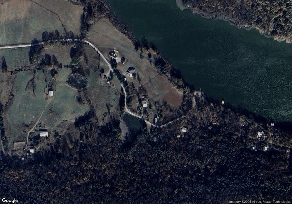
Map
Nearby Homes
- 458 W Dublin Bay Rd
- 465 Boyd Dr
- 548 Boyd Dr
- 106 Lakeside Dr
- 2220 Dublin Rd
- 527 Thompson Bay Rd
- 1164 Mountain Spring Rd
- 0000 Dublin Rd
- 000 Dublin Rd
- 0 Arkansas 22
- 19958 E State Highway 22
- 19958 Arkansas 22
- 274 Sanders Dr
- 000 Fritsche Rd
- 132 Elizabeth Hall Rd
- 148 Riverwood Dr
- 286 Private Road 1597
- 299 Foy Ln
- 240 Dexter Ln
- 95 Deer Run Rd
- 1226 Thompson Bay Loop
- 1246 Thompson Bay Loop
- 1282 Thompson Bay Loop
- 1986 Thompson Bay Loop
- 0 Thompson Bay Loop Unit 18-1032
- TBD Thompson Bay Loop
- 1549 Thompson Bay Loop
- 706 Thompson Bay Loop
- Tract A Thompson Bay Loop
- 0 Thompson Bay Loop
- 1985 Thompson Bay Loop
- 1998 Thompson Bay Loop
- 1507 Thompson Bay Loop
- 1423 Thompson Bay Loop
- 447 Thompson Bay Loop
- 465 Thompson Bay Loop
- 1366 Thompson Bay Loop
- 1351 Thompson Bay Loop
- 1100 Thompson Bay Loop
Your Personal Tour Guide
Ask me questions while you tour the home.