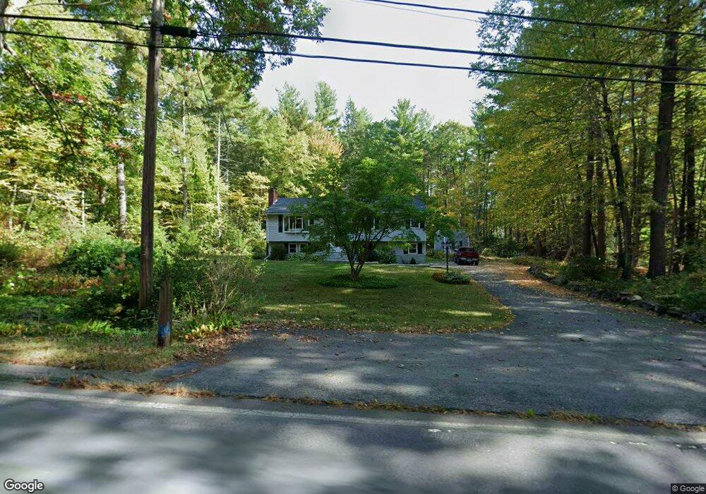
1638 Wachusett St Jefferson, MA 01522
Estimated Value: $466,839 - $531,000
3
Beds
1
Bath
1,406
Sq Ft
$345/Sq Ft
Est. Value
About This Home
This home is located at 1638 Wachusett St, Jefferson, MA 01522 and is currently estimated at $485,210, approximately $345 per square foot. 1638 Wachusett St is a home located in Worcester County with nearby schools including Wachusett Regional High School and Holden Christian Academy.
Ownership History
Date
Name
Owned For
Owner Type
Purchase Details
Closed on
Apr 6, 2018
Sold by
Kimball Pamela R
Bought by
Wachusett Street Irt
Current Estimated Value
Purchase Details
Closed on
Mar 21, 2014
Sold by
Kimball David J and Kimball Pamela R
Bought by
Kimball Pamela R
Purchase Details
Closed on
Jun 3, 1976
Bought by
Kimball Pamela R
Create a Home Valuation Report for This Property
The Home Valuation Report is an in-depth analysis detailing your home's value as well as a comparison with similar homes in the area
Home Values in the Area
Average Home Value in this Area
Purchase History
| Date | Buyer | Sale Price | Title Company |
|---|---|---|---|
| Wachusett Street Irt | -- | -- | |
| Kimball Pamela R | -- | -- | |
| Kimball Pamela R | -- | -- |
Source: Public Records
Mortgage History
| Date | Status | Borrower | Loan Amount |
|---|---|---|---|
| Previous Owner | Kimball Pamela R | $85,000 | |
| Previous Owner | Kimball Pamela R | $50,000 |
Source: Public Records
Tax History Compared to Growth
Tax History
| Year | Tax Paid | Tax Assessment Tax Assessment Total Assessment is a certain percentage of the fair market value that is determined by local assessors to be the total taxable value of land and additions on the property. | Land | Improvement |
|---|---|---|---|---|
| 2025 | $6,180 | $445,900 | $167,400 | $278,500 |
| 2024 | $5,833 | $412,200 | $162,600 | $249,600 |
| 2023 | $5,738 | $382,800 | $141,300 | $241,500 |
| 2022 | $5,620 | $339,400 | $110,500 | $228,900 |
| 2021 | $5,378 | $309,100 | $105,300 | $203,800 |
| 2020 | $5,092 | $299,500 | $100,500 | $199,000 |
| 2019 | $4,924 | $282,200 | $100,500 | $181,700 |
| 2018 | $6,355 | $261,100 | $95,700 | $165,400 |
| 2017 | $4,169 | $237,000 | $95,700 | $141,300 |
| 2016 | $3,911 | $226,700 | $91,300 | $135,400 |
| 2015 | $4,028 | $222,300 | $91,300 | $131,000 |
| 2014 | $3,946 | $222,300 | $91,300 | $131,000 |
Source: Public Records
Map
Nearby Homes
- 0 North St
- Lot 1 Manning St
- 751 Mason Rd
- 14 Oak Cir
- 60 Duxbury Dr
- 9 Stagecoach Rd
- 15 Stagecoach Rd
- 40 Jackson St
- 287 Laurel St
- 35 Laurel Hill Ln
- 9 Short St
- 3 Oakridge Rd
- 141 Lovell Rd
- 40 Princeton St
- 56 Highland Ave
- 166 Ball Hill Rd
- 2226 Main St
- 300 Malden St
- 147 E County Rd Unit 149
- 139 E County Rd Unit 139
- 1554 Wachusett
- 1620 Wachusett St
- 1648 Wachusett St
- 1535 Wachusett St
- 1606 Wachusett St
- 1658 Wachusett St
- 1 Rocky Mountain Rd
- 1657 Wachusett St
- 1598 Wachusett St
- 2 Rocky Mountain Rd
- 1662 Wachusett St
- 1680 Wachusett St
- 35 Cold Brook Cir
- 1675 Wachusett St
- 1584 Wachusett St
- 1584 Wachusett St
- 82 Boulder Hill Rd
- 36 Cold Brook Cir
- 1682 Wachusett St
- 29 Cold Brook Cir