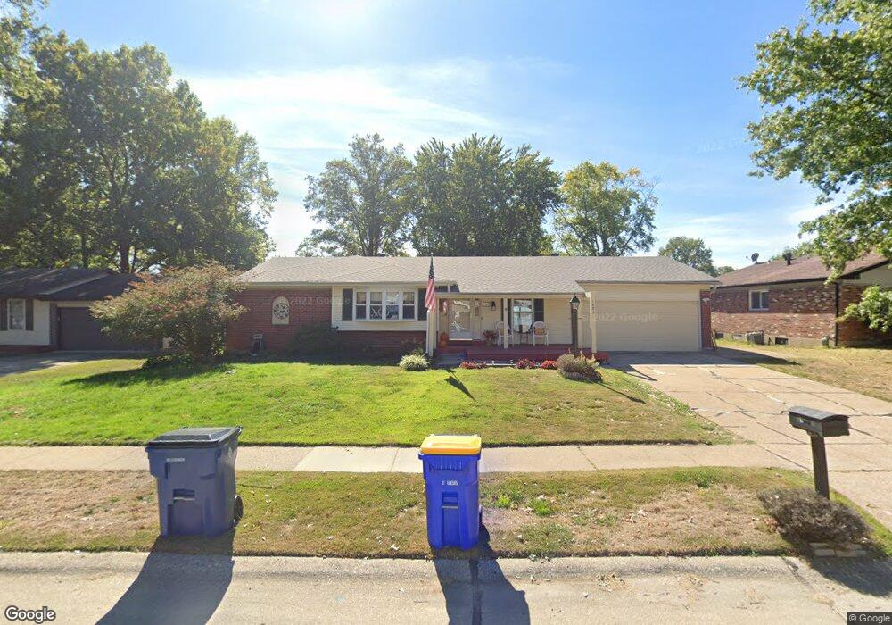
1639 Matlock Dr Florissant, MO 63031
Estimated Value: $217,467 - $234,000
4
Beds
2
Baths
1,847
Sq Ft
$123/Sq Ft
Est. Value
About This Home
This home is located at 1639 Matlock Dr, Florissant, MO 63031 and is currently estimated at $226,617, approximately $122 per square foot. 1639 Matlock Dr is a home located in St. Louis County with nearby schools including North Middle School, Hazelwood Central High School, and Oak Bridge.
Ownership History
Date
Name
Owned For
Owner Type
Purchase Details
Closed on
Sep 23, 2005
Sold by
Robinson Anthony R and Robinson Stephanie
Bought by
Veehoff Daniel and Veehoff Caroline
Current Estimated Value
Home Financials for this Owner
Home Financials are based on the most recent Mortgage that was taken out on this home.
Original Mortgage
$153,500
Outstanding Balance
$81,658
Interest Rate
5.76%
Mortgage Type
Purchase Money Mortgage
Estimated Equity
$144,959
Purchase Details
Closed on
Nov 5, 2002
Sold by
Africano Michael A and Africano Linda C
Bought by
Robinson Anthony R
Home Financials for this Owner
Home Financials are based on the most recent Mortgage that was taken out on this home.
Original Mortgage
$163,435
Interest Rate
5.89%
Mortgage Type
FHA
Create a Home Valuation Report for This Property
The Home Valuation Report is an in-depth analysis detailing your home's value as well as a comparison with similar homes in the area
Home Values in the Area
Average Home Value in this Area
Purchase History
| Date | Buyer | Sale Price | Title Company |
|---|---|---|---|
| Veehoff Daniel | $173,500 | -- | |
| Robinson Anthony R | $166,000 | -- |
Source: Public Records
Mortgage History
| Date | Status | Borrower | Loan Amount |
|---|---|---|---|
| Open | Veehoff Daniel | $153,500 | |
| Previous Owner | Robinson Anthony R | $163,435 |
Source: Public Records
Tax History Compared to Growth
Tax History
| Year | Tax Paid | Tax Assessment Tax Assessment Total Assessment is a certain percentage of the fair market value that is determined by local assessors to be the total taxable value of land and additions on the property. | Land | Improvement |
|---|---|---|---|---|
| 2025 | $2,765 | $37,350 | $7,410 | $29,940 |
| 2024 | $2,765 | $31,650 | $2,960 | $28,690 |
| 2023 | $2,761 | $31,650 | $2,960 | $28,690 |
| 2022 | $2,580 | $26,340 | $4,850 | $21,490 |
| 2021 | $2,543 | $26,340 | $4,850 | $21,490 |
| 2020 | $2,269 | $21,850 | $7,410 | $14,440 |
| 2019 | $2,234 | $21,850 | $7,410 | $14,440 |
| 2018 | $2,336 | $21,030 | $2,260 | $18,770 |
| 2017 | $2,334 | $21,030 | $2,260 | $18,770 |
| 2016 | $2,572 | $22,890 | $2,640 | $20,250 |
| 2015 | $2,517 | $22,890 | $2,640 | $20,250 |
| 2014 | $2,505 | $23,470 | $4,470 | $19,000 |
Source: Public Records
Map
Nearby Homes
- 1455 Burnside Ct
- 1638 Matlock Dr
- 1522 Sherwood Forest Dr
- 1641 Sherwood Forest Dr
- 1807 Kilmory Dr
- 3035 Matlock Dr
- 2916 Corn Silk Ct
- 2906 Russet Ct
- 1323 Woodpath Dr
- 3645 Woodman Dr
- 3213 Yvette Ct
- 3660 Woodman Dr
- 1114 Ransome Ct
- 16787 River Stone Dr
- 2 Aspen II at Riverstone
- 985 Brookfield Chase Ct
- 2 Ashford at Riverstone
- 16804 River Stone Dr
- 2 Berwick at Riverstone
- 733 Mediterranean Dr
- 1649 Matlock Dr
- 1619 Matlock Dr
- 1646 Somerset Shire Dr
- 1659 Matlock Dr
- 1666 Somerset Shire Dr
- 1636 Somerset Shire Dr
- 1628 Matlock Dr
- 1618 Matlock Dr
- 1676 Somerset Shire Dr
- 1616 Somerset Shire Dr
- 1598 Matlock Dr
- 1579 Matlock Dr
- 1669 Matlock Dr
- 1696 Somerset Shire Dr
- 1586 Somerset Shire Dr
- 1588 Matlock Dr
- 3235 Brocton Common Dr
- 1485 Burnside Ct
- 3250 Brocton Common Dr
- 1569 Matlock Dr