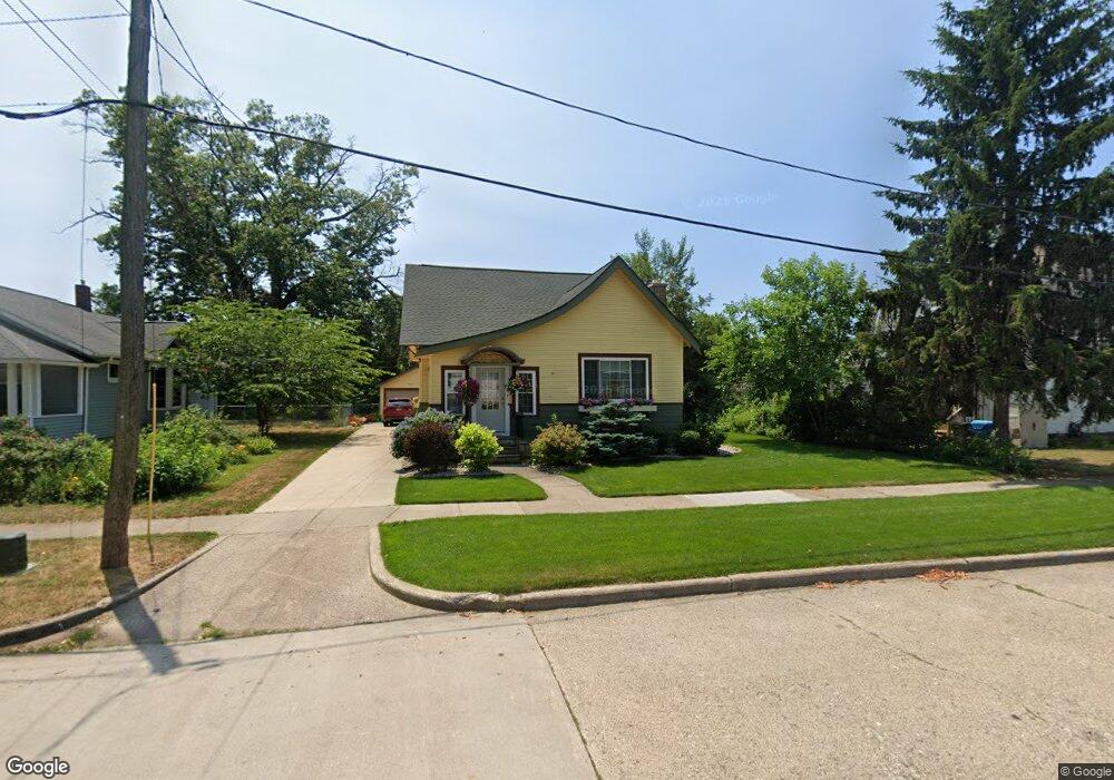
1639 McGraft St Muskegon, MI 49441
Nims NeighborhoodEstimated Value: $249,000 - $256,000
4
Beds
2
Baths
2,117
Sq Ft
$120/Sq Ft
Est. Value
About This Home
This home is located at 1639 McGraft St, Muskegon, MI 49441 and is currently estimated at $253,779, approximately $119 per square foot. 1639 McGraft St is a home located in Muskegon County with nearby schools including Muskegon Catholic Central School and St. Michael Elementary School.
Ownership History
Date
Name
Owned For
Owner Type
Purchase Details
Closed on
Nov 16, 2007
Sold by
Burns Patrick K and Donovan Elizabeth
Bought by
King Sandra L
Current Estimated Value
Home Financials for this Owner
Home Financials are based on the most recent Mortgage that was taken out on this home.
Original Mortgage
$100,000
Outstanding Balance
$63,564
Interest Rate
6.47%
Mortgage Type
Unknown
Estimated Equity
$190,215
Create a Home Valuation Report for This Property
The Home Valuation Report is an in-depth analysis detailing your home's value as well as a comparison with similar homes in the area
Home Values in the Area
Average Home Value in this Area
Purchase History
| Date | Buyer | Sale Price | Title Company |
|---|---|---|---|
| King Sandra L | $125,000 | Harbor Title |
Source: Public Records
Mortgage History
| Date | Status | Borrower | Loan Amount |
|---|---|---|---|
| Open | King Sandra L | $100,000 |
Source: Public Records
Tax History Compared to Growth
Tax History
| Year | Tax Paid | Tax Assessment Tax Assessment Total Assessment is a certain percentage of the fair market value that is determined by local assessors to be the total taxable value of land and additions on the property. | Land | Improvement |
|---|---|---|---|---|
| 2025 | $2,260 | $112,100 | $0 | $0 |
| 2024 | $598 | $91,300 | $0 | $0 |
| 2023 | $572 | $80,900 | $0 | $0 |
| 2022 | $2,112 | $67,100 | $0 | $0 |
| 2021 | $2,074 | $59,300 | $0 | $0 |
| 2020 | $2,012 | $51,900 | $0 | $0 |
| 2019 | $1,975 | $46,300 | $0 | $0 |
| 2018 | $1,931 | $45,200 | $0 | $0 |
| 2017 | $1,864 | $43,300 | $0 | $0 |
| 2016 | $488 | $41,400 | $0 | $0 |
| 2015 | -- | $42,200 | $0 | $0 |
| 2014 | $479 | $42,600 | $0 | $0 |
| 2013 | -- | $40,500 | $0 | $0 |
Source: Public Records
Map
Nearby Homes
- 1270 Palmer Ave
- 952 Boardwalk Cove Dr
- 1151 W Dale Ave
- 1135 W Dale Ave
- 1092 Ireland Ave
- 1465 Barclay St
- 1472 Montgomery Ave
- 1636 Franklin St
- VL Washington
- 995 W Southern Ave
- 988 W Larch Ave
- 972 W Dale Ave
- 929 Ireland Ave
- 933 W Southern Ave
- 923 W Southern Ave
- 901 Adelaide Cir Unit 607
- 901 Adelaide Cir Unit 202
- 901 Adelaide Cir Unit 503
- 901 Adelaide Cir Unit 407
- 901 Adelaide Cir Unit 404
- 1645 McGraft St
- 1347 Palmer Ave
- 1640 McGraft St
- 1649 McGraft St
- 1634 McGraft St
- 1325 Palmer Ave
- 1619 McGraft St
- 1355 Palmer Ave
- 1319 Palmer Ave
- 1332 Palmer Ave
- 1318 Montgomery Ave
- 1328 Palmer Ave
- 1288 Montgomery Ave
- 1324 Montgomery Ave
- 1293 Montgomery Ave
- 1356 Palmer Ave
- 1365 Palmer Ave
- 1613 McGraft St
- 1326 Montgomery Ave
- 1284 Montgomery Ave