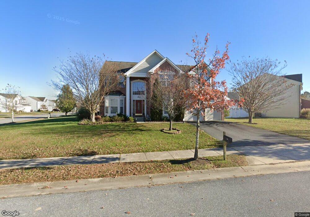
1639 Osprey Cir Cambridge, MD 21613
Estimated Value: $423,804 - $474,000
About This Home
This home is located at 1639 Osprey Cir, Cambridge, MD 21613 and is currently estimated at $451,201, approximately $120 per square foot. 1639 Osprey Cir is a home located in Dorchester County with nearby schools including Maple Elementary School, Mace's Lane Middle School, and Cambridge-South Dorchester High School.
Ownership History
We collect this data history from publicly available records. To have your information removed, we recommend requesting removal directly through your county’s website.
Purchase Details
Purchase Details
Home Financials for this Owner
Home Financials are based on the most recent Mortgage that was taken out on this home.Home Values in the Area
Average Home Value in this Area
Purchase History
We collect this data history from publicly available records. To have your information removed, we recommend requesting removal directly through your county’s website.
| Date | Buyer | Sale Price | Title Company |
|---|---|---|---|
| $500,000 | None Available | ||
| $459,090 | -- |
Mortgage History
We collect this data history from publicly available records. To have your information removed, we recommend requesting removal directly through your county’s website.
| Date | Status | Borrower | Loan Amount |
|---|---|---|---|
| Previous Owner | $359,650 | ||
| Previous Owner | $44,985 |
Tax History
We collect this data history from publicly available records. To have your information removed, we recommend requesting removal directly through your county’s website.
| Year | Tax Paid | Tax Assessment Tax Assessment Total Assessment is a certain percentage of the fair market value that is determined by local assessors to be the total taxable value of land and additions on the property. | Land | Improvement |
|---|---|---|---|---|
| 2025 | $5,963 | $404,300 | $21,600 | $382,700 |
| 2024 | $5,290 | $360,133 | $0 | $0 |
| 2023 | $5,290 | $315,967 | $0 | $0 |
| 2022 | $10,047 | $271,800 | $21,600 | $250,200 |
| 2021 | $4,838 | $264,167 | $0 | $0 |
| 2020 | $4,838 | $256,533 | $0 | $0 |
| 2019 | $4,746 | $248,900 | $21,600 | $227,300 |
| 2018 | $4,436 | $238,933 | $0 | $0 |
| 2017 | $4,251 | $228,967 | $0 | $0 |
| 2016 | -- | $219,000 | $0 | $0 |
| 2015 | -- | $219,000 | $0 | $0 |
| 2014 | -- | $219,000 | $0 | $0 |
Map
- 419 Osprey Cir
- 405 Osprey Cir
- 303 Terrapin Cir
- 501 Harrington Ave
- 112 Mariners Way
- 600 Red Bill Ln
- 206 Red Bill Ln
- 1650 Terrapin Cir
- 1311 Race St
- 0 Maple Dam Rd Unit 15924452
- 807 Bayly Rd
- 214 E Appleby Ave
- 2520 Boeing Way
- 1617 Stone Boundary Rd
- 2506 Boeing Way
- 2504 Boeing Way
- 1209 Bayly Rd
- 1109 High St
- 319 Appleby School Rd
- 110 Black Duck Ct
- 410 Eagles Nest Way
- 1635 Osprey Cir
- 1631 Osprey Cir
- 1642 Osprey Cir
- 1645 Osprey Cir
- 1644 Osprey Cir
- 408 Eagles Nest Way
- 411 Eagles Nest Way
- 1640 Osprey Cir
- 1629 Osprey Cir
- 1646 Osprey Cir
- 1602 Osprey Cir
- 1610 Osprey Cir
- 1604 Osprey Cir
- 1608 Osprey Cir
- 1618 Osprey Cir
- 1620 Osprey Cir
- 1616 Osprey Cir
- 1614 Osprey Cir
- 409 Eagles Nest Way
Ask me questions while you tour the home.