1639 Whiteside Mountain Rd Highlands, NC 28741
Estimated Value: $1,720,684 - $2,137,000
3
Beds
4
Baths
2,229
Sq Ft
$842/Sq Ft
Est. Value
About This Home
This home is located at 1639 Whiteside Mountain Rd, Highlands, NC 28741 and is currently estimated at $1,877,421, approximately $842 per square foot. 1639 Whiteside Mountain Rd is a home located in Macon County with nearby schools including Highlands School, Macon Middle School, and Mountain View Intermediate School.
Ownership History
Date
Name
Owned For
Owner Type
Purchase Details
Closed on
Jul 26, 2019
Sold by
Hoch Robert and Hoch Dinah
Bought by
Big Joe And Ann Llc
Current Estimated Value
Purchase Details
Closed on
Jan 11, 2018
Sold by
Hoch Dinah and Rogers Vicky
Bought by
Hoch Dinah
Purchase Details
Closed on
Jan 31, 2011
Sold by
Vance Ann B
Bought by
Vance Ann B and Amended And Restated Ann B Vance Trust
Create a Home Valuation Report for This Property
The Home Valuation Report is an in-depth analysis detailing your home's value as well as a comparison with similar homes in the area
Home Values in the Area
Average Home Value in this Area
Purchase History
| Date | Buyer | Sale Price | Title Company |
|---|---|---|---|
| Big Joe And Ann Llc | $500 | None Available | |
| Hoch Dinah | -- | None Available | |
| Vance Ann B | -- | None Available | |
| Vance Ann B | -- | None Available |
Source: Public Records
Tax History Compared to Growth
Tax History
| Year | Tax Paid | Tax Assessment Tax Assessment Total Assessment is a certain percentage of the fair market value that is determined by local assessors to be the total taxable value of land and additions on the property. | Land | Improvement |
|---|---|---|---|---|
| 2025 | -- | $1,365,520 | $100,000 | $1,265,520 |
| 2024 | -- | $1,365,520 | $100,000 | $1,265,520 |
| 2023 | $3,811 | $1,365,520 | $100,000 | $1,265,520 |
| 2022 | $3,811 | $861,120 | $100,000 | $761,120 |
| 2021 | $3,811 | $861,120 | $100,000 | $761,120 |
| 2020 | $1,895 | $861,120 | $100,000 | $761,120 |
| 2018 | $1,835 | $483,550 | $100,000 | $383,550 |
| 2017 | $0 | $866,840 | $336,490 | $530,350 |
| 2016 | $3,214 | $866,840 | $336,490 | $530,350 |
| 2015 | $3,191 | $866,840 | $336,490 | $530,350 |
| 2014 | $2,888 | $977,800 | $464,440 | $513,360 |
| 2013 | -- | $977,800 | $464,440 | $513,360 |
Source: Public Records
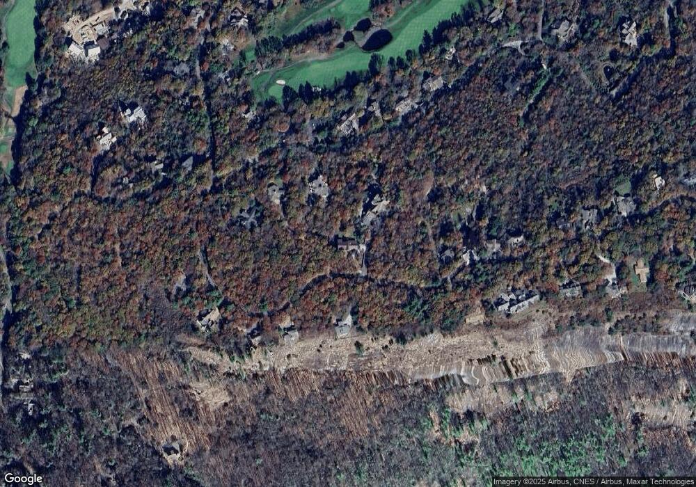
Map
Nearby Homes
- 462 Birchwood Dr Unit 12
- 504 Birchwood Dr Unit B-2
- 498 Birchwood Dr Unit A-2
- 502 Birchwood Dr Unit B-1
- 496 Birchwood Dr Unit A-1
- 632 Garnet Rock Trail
- 2385 Magnolia Dr
- 448 Lake Villas Way
- 451 Country Club Dr
- 518 Country Club Dr
- 871 Garnet Rock Trail
- 695 Whiteside Mountain Rd
- 34 Crescent Trail
- 80 Ravenel Point
- Lot 28 High Pond Ln
- 592 Whiteside Mountain Rd
- 193 W View Way
- Lot 11 Lake Osseroga Dr
- 148 Mountain Ash Ln
- 1131 Garnet Rock Trail
- 60 Tillman Trail
- 51 Old Duffers Ln
- 1626 Whiteside Mountain Rd
- 1539 Whiteside Mountain Rd
- 1706 Whiteside Mountain Rd
- 79 Old Duffers Ln
- 52 Old Duffers Ln
- 1519 Whiteside Mountain Rd
- 1954 Magnolia Dr
- 2010 Magnolia Dr
- 1546 Whiteside Mountain Rd
- 1940 Magnolia Dr
- 1730 Whiteside Mountain Rd
- 2024 Magnolia Dr
- 1501 Whiteside Mountain Rd
- 1904 Magnolia Dr
- 1750 Whiteside Mountain Rd
- 2060 Magnolia Dr
- 1479 Whiteside Mountain Rd
- 1476 Whiteside Mountain Rd