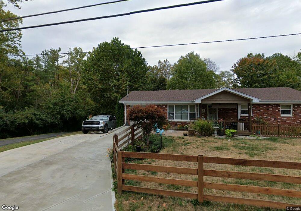
164 Free Soil Rd Georgetown, OH 45121
Estimated Value: $198,947 - $254,000
3
Beds
2
Baths
1,788
Sq Ft
$129/Sq Ft
Est. Value
About This Home
This home is located at 164 Free Soil Rd, Georgetown, OH 45121 and is currently estimated at $230,237, approximately $128 per square foot. 164 Free Soil Rd is a home located in Brown County with nearby schools including Georgetown Elementary School and Georgetown Jr/Sr High School.
Ownership History
Date
Name
Owned For
Owner Type
Purchase Details
Closed on
Jul 2, 1996
Sold by
Puckett Marlene
Bought by
Schmidt Karl V and Schmidt Audrea
Current Estimated Value
Home Financials for this Owner
Home Financials are based on the most recent Mortgage that was taken out on this home.
Original Mortgage
$84,660
Outstanding Balance
$6,061
Interest Rate
8.13%
Estimated Equity
$224,176
Create a Home Valuation Report for This Property
The Home Valuation Report is an in-depth analysis detailing your home's value as well as a comparison with similar homes in the area
Home Values in the Area
Average Home Value in this Area
Purchase History
| Date | Buyer | Sale Price | Title Company |
|---|---|---|---|
| Schmidt Karl V | $83,000 | -- |
Source: Public Records
Mortgage History
| Date | Status | Borrower | Loan Amount |
|---|---|---|---|
| Open | Schmidt Karl V | $84,660 |
Source: Public Records
Tax History Compared to Growth
Tax History
| Year | Tax Paid | Tax Assessment Tax Assessment Total Assessment is a certain percentage of the fair market value that is determined by local assessors to be the total taxable value of land and additions on the property. | Land | Improvement |
|---|---|---|---|---|
| 2024 | $1,755 | $49,550 | $6,500 | $43,050 |
| 2023 | $1,755 | $36,580 | $4,990 | $31,590 |
| 2022 | $1,411 | $36,580 | $4,990 | $31,590 |
| 2021 | $1,398 | $36,580 | $4,990 | $31,590 |
| 2020 | $1,237 | $30,490 | $4,170 | $26,320 |
| 2019 | $1,228 | $30,490 | $4,170 | $26,320 |
| 2018 | $1,220 | $30,490 | $4,170 | $26,320 |
| 2017 | $894 | $26,520 | $4,250 | $22,270 |
| 2016 | $893 | $26,520 | $4,250 | $22,270 |
| 2015 | $929 | $26,520 | $4,250 | $22,270 |
| 2014 | $929 | $26,130 | $3,860 | $22,270 |
| 2013 | $926 | $26,130 | $3,860 | $22,270 |
Source: Public Records
Map
Nearby Homes
- 155 Free Soil Rd
- 59 Williams Dr
- 27 Marilyn Dr
- 20 Heritage Hill Dr
- 20 Lakeview Acres Dr
- 418 Home St
- 175 Douglas Cir
- 0 Douglas Ln Unit 1641744
- 470 Free Soil Rd
- 505 S Water St
- 25 Douglas Ln
- 402 S Pleasant St
- 306 W 2nd St
- 666 E State St
- 104 Elm St
- 708 E State St
- 102 Bill Dee Dr
- 0 St Rt 221 & Footbridge Unit 1826509
- 406 E North St
- 405 N Main St
- 192 Free Soil Rd
- 187 Free Soil Rd
- 139 Free Soil Rd
- 217 Free Soil Rd
- 106 Lauray Dr
- 115 Lauray Dr
- 4 Lauray Dr
- 216 Free Soil Rd
- 96 Lauray Dr
- 28 Carrington Dr
- 219 Free Soil Rd
- 82 Lauray Dr
- 209 Free Soil Rd
- 209 Free Soil Rd
- 209 Free Soil Rd
- 209 Free Soil Rd
- 234 Free Soil Rd
- 99 Free Soil Rd
- 77 Lauray Dr
- 70 Lauray Dr