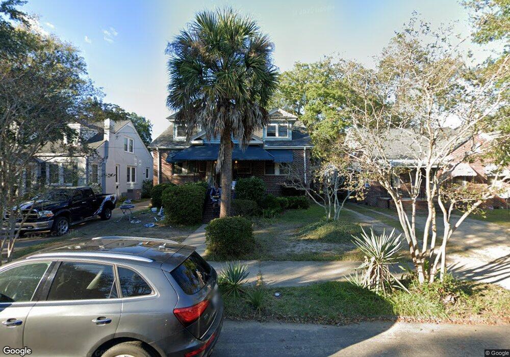
164 Grove St Unit 1 Charleston, SC 29403
Wagener Terrace NeighborhoodEstimated Value: $920,000 - $1,479,000
3
Beds
2
Baths
1,931
Sq Ft
$590/Sq Ft
Est. Value
About This Home
This home is located at 164 Grove St Unit 1, Charleston, SC 29403 and is currently estimated at $1,139,979, approximately $590 per square foot. 164 Grove St Unit 1 is a home located in Charleston County with nearby schools including James Simons Elementary School, Mitchell Elementary School, and Simmons Pinckney Middle.
Ownership History
Date
Name
Owned For
Owner Type
Purchase Details
Closed on
Mar 5, 2011
Sold by
Snyder Elizabeth Anne and Snyder Anne
Bought by
Vargas Amy Kunza
Current Estimated Value
Purchase Details
Closed on
Nov 24, 2003
Sold by
Kunza Anne
Bought by
Snyder Elizabeth Anne
Purchase Details
Closed on
Jul 10, 2003
Sold by
Kunza Patrick M
Bought by
Kunza Anne
Purchase Details
Closed on
Dec 8, 2000
Sold by
Wright Shirley Y and Wright Dorothy S
Bought by
Kunza Patrick M
Create a Home Valuation Report for This Property
The Home Valuation Report is an in-depth analysis detailing your home's value as well as a comparison with similar homes in the area
Home Values in the Area
Average Home Value in this Area
Purchase History
| Date | Buyer | Sale Price | Title Company |
|---|---|---|---|
| Vargas Amy Kunza | -- | -- | |
| Snyder Elizabeth Anne | -- | -- | |
| Kunza Anne | -- | -- | |
| Kunza Patrick M | $191,500 | -- |
Source: Public Records
Tax History Compared to Growth
Tax History
| Year | Tax Paid | Tax Assessment Tax Assessment Total Assessment is a certain percentage of the fair market value that is determined by local assessors to be the total taxable value of land and additions on the property. | Land | Improvement |
|---|---|---|---|---|
| 2024 | $2,235 | $16,410 | $0 | $0 |
| 2023 | $2,235 | $16,410 | $0 | $0 |
| 2022 | $2,062 | $16,410 | $0 | $0 |
| 2021 | $2,161 | $16,410 | $0 | $0 |
| 2020 | $2,239 | $16,410 | $0 | $0 |
| 2019 | $1,956 | $14,270 | $0 | $0 |
| 2017 | $1,789 | $13,480 | $0 | $0 |
| 2016 | $1,715 | $13,480 | $0 | $0 |
| 2015 | $4,934 | $13,480 | $0 | $0 |
| 2014 | $4,243 | $0 | $0 | $0 |
| 2011 | -- | $0 | $0 | $0 |
Source: Public Records
Map
Nearby Homes
- 2 Gordon St
- 2 Piedmont Ave
- 4 Piedmont Ave
- 782 Rutledge Ave Unit D
- 829 Rutledge Ave
- 814 Rutledge Ave
- 1 Paige Ct
- 62 Alberta Ave
- 261 Grove St
- 64 Alberta Ave
- 2 Francis St Unit C
- 2 Francis St Unit I
- 177 Romney St
- 172 Mary Ellen Dr
- 65 Simons St
- 975 King St
- 668 Rutledge Ave
- 163 Romney St
- 17 8th Ave Unit A
- 17 8th Ave Unit 17 D
- 164 Grove St
- 160 Grove St
- 166 Grove St
- 158 Grove St
- 156 Grove St
- 170 Grove St
- 67 Saint Margaret St
- 69 Saint Margaret St
- 65 Saint Margaret St
- 174 Grove St
- 152 Grove St
- 61 Saint Margaret St
- 75 Saint Margaret St
- 163 Grove St
- 161 Grove St
- 165 Grove St
- 167 Grove St
- 157 Grove St
- 79 Saint Margaret St
- 57 Saint Margaret St