Estimated Value: $860,646 - $1,008,000
3
Beds
2
Baths
2,540
Sq Ft
$370/Sq Ft
Est. Value
About This Home
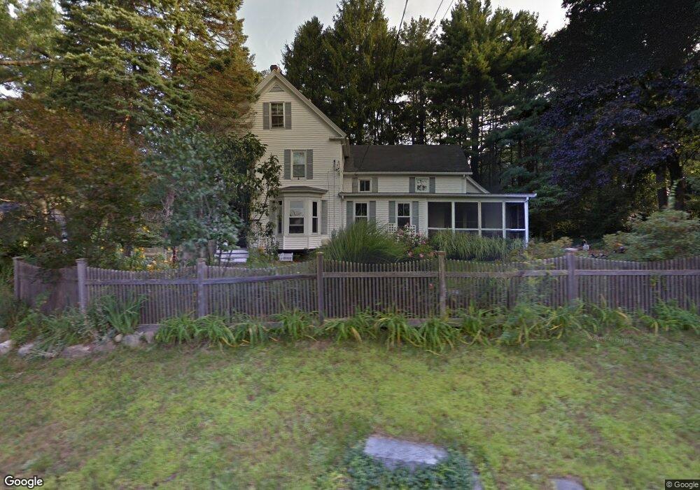
This home is located at 164 High St, Acton, MA 01720 and is currently estimated at $940,912, approximately $370 per square foot. 164 High St is a home located in Middlesex County with nearby schools including Acton-Boxborough Regional High School, Maynard Knowledge Beginnings, and The Imago School.
Ownership History
Date
Name
Owned For
Owner Type
Purchase Details
Closed on
Apr 30, 2009
Sold by
Kovacevic Karim
Bought by
Dobbs Wesley and Dobbs Stacy H
Current Estimated Value
Home Financials for this Owner
Home Financials are based on the most recent Mortgage that was taken out on this home.
Original Mortgage
$395,000
Interest Rate
4.86%
Mortgage Type
Purchase Money Mortgage
Create a Home Valuation Report for This Property
The Home Valuation Report is an in-depth analysis detailing your home's value as well as a comparison with similar homes in the area
Home Values in the Area
Average Home Value in this Area
Purchase History
We collect this data history from publicly available records. To have your information removed, we recommend requesting removal directly through your county’s website.
| Date | Buyer | Sale Price | Title Company |
|---|---|---|---|
| Dobbs Wesley | $496,800 | -- | |
| Dobbs Wesley | $496,800 | -- |
Source: Public Records
Mortgage History
We collect this data history from publicly available records. To have your information removed, we recommend requesting removal directly through your county’s website.
| Date | Status | Borrower | Loan Amount |
|---|---|---|---|
| Open | Dobbs Wesley | $394,000 | |
| Closed | Dobbs Wesley | $395,000 | |
| Previous Owner | Dobbs Wesley | $76,500 |
Source: Public Records
Tax History
| Year | Tax Paid | Tax Assessment Tax Assessment Total Assessment is a certain percentage of the fair market value that is determined by local assessors to be the total taxable value of land and additions on the property. | Land | Improvement |
|---|---|---|---|---|
| 2025 | $14,430 | $841,400 | $316,600 | $524,800 |
| 2024 | $13,168 | $789,900 | $316,600 | $473,300 |
| 2023 | $13,367 | $761,200 | $287,900 | $473,300 |
| 2022 | $13,916 | $715,500 | $250,300 | $465,200 |
| 2021 | $12,452 | $615,500 | $231,600 | $383,900 |
| 2020 | $11,842 | $615,500 | $231,600 | $383,900 |
| 2019 | $11,297 | $583,200 | $231,600 | $351,600 |
| 2018 | $10,231 | $527,900 | $231,600 | $296,300 |
| 2017 | $10,062 | $527,900 | $231,600 | $296,300 |
| 2016 | $10,152 | $527,900 | $231,600 | $296,300 |
| 2015 | $9,696 | $509,000 | $231,600 | $277,400 |
| 2014 | $9,373 | $481,900 | $231,600 | $250,300 |
Source: Public Records
Map
Nearby Homes
- 39 Adams St
- 128 Parker St Unit 3C
- 120 Parker St Unit 15
- 125 Audubon Dr
- 91 Drummer Rd Unit 91
- 68 Main St
- 21 Vanderbelt Rd
- 70 River St
- 11 Ethelyn Cir
- 26 Tremont St
- 80 Concord St
- 8 Tremont St
- 70 Powder Mill Rd
- 148 School St
- 22 Hillcrest Dr
- 2 Everett St
- 6 Sandy Dr
- 96 Forest Ridge Rd Unit 96
- 26 Powder Mill Rd
- 10 Concord St
Your Personal Tour Guide
Ask me questions while you tour the home.