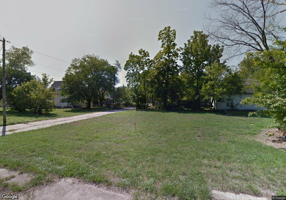
164 Kirby Ave Benton Harbor, MI 49022
Estimated Value: $40,000
--
Bed
--
Bath
--
Sq Ft
3,703
Sq Ft Lot
About This Home
This home is located at 164 Kirby Ave, Benton Harbor, MI 49022 and is currently estimated at $40,000. 164 Kirby Ave is a home with nearby schools including Fair Plain Middle School, Benton Harbor High School, and Benton Harbor Charter School Academy.
Ownership History
Date
Name
Owned For
Owner Type
Purchase Details
Closed on
Jun 22, 2016
Sold by
Berrien County Land Bank Authority
Bought by
Blue Star 201 Llc
Current Estimated Value
Purchase Details
Closed on
Jul 21, 2011
Sold by
Witkowski Bret
Bought by
Berrien County Land Bank Authority
Home Financials for this Owner
Home Financials are based on the most recent Mortgage that was taken out on this home.
Original Mortgage
$6,800
Interest Rate
4.52%
Mortgage Type
Unknown
Purchase Details
Closed on
Jan 8, 2007
Sold by
Patterson Joel C
Bought by
Trinity Village Non Profit Housing Corp
Purchase Details
Closed on
Mar 15, 2005
Sold by
H E R Construction
Bought by
Her Construction & Co Llc
Purchase Details
Closed on
Aug 28, 2003
Sold by
The City Of Benton Harbor
Bought by
H E R Construction
Create a Home Valuation Report for This Property
The Home Valuation Report is an in-depth analysis detailing your home's value as well as a comparison with similar homes in the area
Home Values in the Area
Average Home Value in this Area
Purchase History
| Date | Buyer | Sale Price | Title Company |
|---|---|---|---|
| Blue Star 201 Llc | $13,500 | None Available | |
| Berrien County Land Bank Authority | -- | None Available | |
| Trinity Village Non Profit Housing Corp | -- | None Available | |
| Her Construction & Co Llc | -- | -- | |
| H E R Construction | $12,500 | -- |
Source: Public Records
Mortgage History
| Date | Status | Borrower | Loan Amount |
|---|---|---|---|
| Previous Owner | Berrien County Land Bank Authority | $6,800 |
Source: Public Records
Tax History Compared to Growth
Tax History
| Year | Tax Paid | Tax Assessment Tax Assessment Total Assessment is a certain percentage of the fair market value that is determined by local assessors to be the total taxable value of land and additions on the property. | Land | Improvement |
|---|---|---|---|---|
| 2025 | $15 | $2,000 | $0 | $0 |
| 2024 | $15 | $1,600 | $0 | $0 |
| 2023 | $12 | $300 | $0 | $0 |
| 2022 | $13 | $300 | $0 | $0 |
| 2021 | $13 | $400 | $400 | $0 |
| 2020 | $13 | $400 | $0 | $0 |
| 2019 | $13 | $400 | $0 | $0 |
| 2018 | $13 | $1,500 | $0 | $0 |
| 2017 | $13 | $200 | $0 | $0 |
| 2016 | $0 | $0 | $0 | $0 |
| 2015 | -- | $0 | $0 | $0 |
| 2014 | -- | $0 | $0 | $0 |
Source: Public Records
Map
Nearby Homes
- 460 Colfax Ave
- 378 Pipestone St
- 576 Colfax Ave
- 614 Pavone St
- 391 Pipestone St
- 161 Kline Ave
- VL Eighth Ninth Boughton St
- 416 E Britain Ave
- 309 High St
- 255 High St
- 694 Colfax Ave
- 131 Clay St
- 1045 Broadway
- 730 Superior St
- 833 Pearl St
- 872 Mcalister Ave
- 171 E Empire Ave
- 349 E Empire Ave
- 941 Colfax Ave
- 419 Packard St
- 415 Ohio St
- 172 Kirby Ave
- 471 Ohio St
- 470 Mcallister Ave
- 460 Mcallister Ave
- 430 Ohio St
- 470 Mcalister St
- 144 Garfield Ave
- 159 E Britain Ave
- 470 Ohio St
- 458 Ohio St
- 464 Ohio St
- 184 Garfield Ave
- 480 Ohio St
- 169 E Britain Ave
- 187 E Britain Ave
- 179 E Britain Ave
- 138 Garfield Ave
- 179 Garfield Ave
- 129 E Britain Ave