164 Main St Groton, MA 01450
Estimated Value: $850,000 - $1,345,000
7
Beds
4
Baths
5,092
Sq Ft
$219/Sq Ft
Est. Value
About This Home
This home is located at 164 Main St, Groton, MA 01450 and is currently estimated at $1,115,163, approximately $219 per square foot. 164 Main St is a home located in Middlesex County with nearby schools including Groton Dunstable Regional High School, Groton Community School, and Seven Hills At Groton.
Ownership History
Date
Name
Owned For
Owner Type
Purchase Details
Closed on
Nov 29, 2007
Sold by
Lewis F Woodward Est and Parker
Bought by
Perini Gina M
Current Estimated Value
Home Financials for this Owner
Home Financials are based on the most recent Mortgage that was taken out on this home.
Original Mortgage
$392,000
Interest Rate
6.48%
Mortgage Type
Purchase Money Mortgage
Create a Home Valuation Report for This Property
The Home Valuation Report is an in-depth analysis detailing your home's value as well as a comparison with similar homes in the area
Home Values in the Area
Average Home Value in this Area
Purchase History
| Date | Buyer | Sale Price | Title Company |
|---|---|---|---|
| Perini Gina M | $490,000 | -- | |
| Perini Gina M | $490,000 | -- |
Source: Public Records
Mortgage History
| Date | Status | Borrower | Loan Amount |
|---|---|---|---|
| Open | Perini Gina M | $384,573 | |
| Closed | Perini Gina M | $392,000 |
Source: Public Records
Tax History Compared to Growth
Tax History
| Year | Tax Paid | Tax Assessment Tax Assessment Total Assessment is a certain percentage of the fair market value that is determined by local assessors to be the total taxable value of land and additions on the property. | Land | Improvement |
|---|---|---|---|---|
| 2025 | $14,620 | $958,700 | $307,000 | $651,700 |
| 2024 | $13,709 | $908,500 | $307,000 | $601,500 |
| 2023 | $12,975 | $829,600 | $302,300 | $527,300 |
| 2022 | $11,782 | $685,400 | $282,500 | $402,900 |
| 2021 | $11,143 | $633,100 | $248,800 | $384,300 |
| 2020 | $11,116 | $639,600 | $254,400 | $385,200 |
| 2019 | $11,987 | $661,900 | $254,400 | $407,500 |
| 2018 | $11,223 | $601,100 | $254,400 | $346,700 |
| 2017 | $11,444 | $626,700 | $254,400 | $372,300 |
| 2016 | $10,524 | $560,400 | $221,500 | $338,900 |
| 2015 | $10,239 | $560,400 | $221,500 | $338,900 |
Source: Public Records
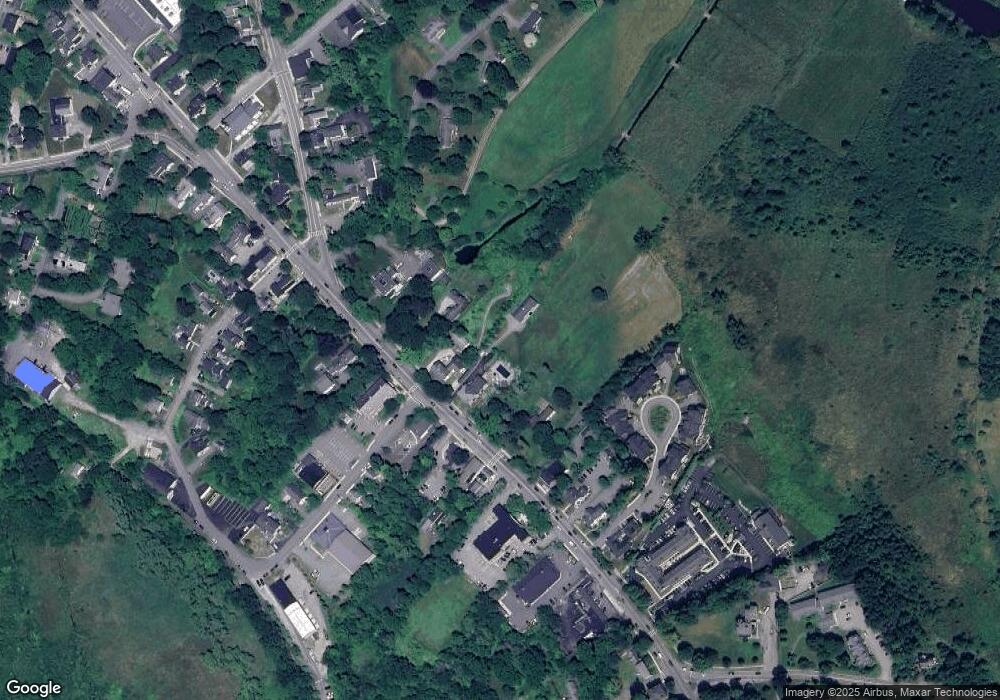
Map
Nearby Homes
- 117 Main St
- 228 Main St
- 247 Main St
- 20 Hayes Woods Ln
- Lot 9A Hayes Woods Ln
- 111 Farmers Row
- 284 Martins Pond Rd
- 436 Main St
- 52 Chestnut Hill Rd
- 100 Whitman Rd
- 45 Legacy Ln Unit B
- 65 Skyfields Dr
- 227 Boston Rd
- 71 Wintergreen Ln
- PL 639 Indian Hill Rd
- 523 Martins Pond Rd
- 44 Nod Rd
- 45 A Legacy Ln Unit 45A
- 29 B Legacy Ln Unit 29B
- 72 Dale Ln
- 172 Main St
- 154 Main St
- 159 Main St
- 176 Main St
- 155 Main St Unit 157
- 157 Main St
- Lot8A Crystal Springs Ln
- 148 Main St Unit 1
- 186 Main St
- 11 Station Ave
- 11 Station Ave
- 179 Main St
- 153 Main St
- 145 Main St
- 145 Main St Unit G03
- 145 Main St Unit 106
- 145 Main St Unit B1
- 145 Main St Unit B3(101)
- 145 Main St Unit 103
- 142 Main St Unit 3