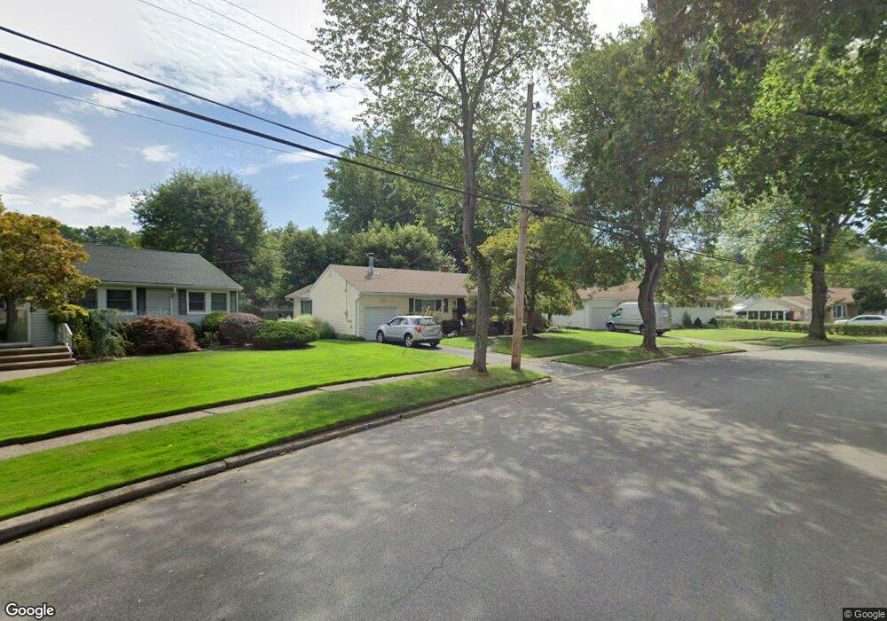
164 Mohawk Dr River Edge, NJ 07661
Estimated Value: $785,920 - $1,090,000
--
Bed
--
Bath
1,448
Sq Ft
$644/Sq Ft
Est. Value
About This Home
This home is located at 164 Mohawk Dr, River Edge, NJ 07661 and is currently estimated at $931,980, approximately $643 per square foot. 164 Mohawk Dr is a home located in Bergen County with nearby schools including Cherry Hill School, River Dell Middle School, and River Dell Regional High School.
Ownership History
Date
Name
Owned For
Owner Type
Purchase Details
Closed on
Dec 22, 1998
Sold by
Taylor Nora M
Bought by
Schmitt John and Schmitt Catherine
Current Estimated Value
Home Financials for this Owner
Home Financials are based on the most recent Mortgage that was taken out on this home.
Original Mortgage
$100,000
Outstanding Balance
$22,931
Interest Rate
6.89%
Estimated Equity
$909,049
Create a Home Valuation Report for This Property
The Home Valuation Report is an in-depth analysis detailing your home's value as well as a comparison with similar homes in the area
Home Values in the Area
Average Home Value in this Area
Purchase History
| Date | Buyer | Sale Price | Title Company |
|---|---|---|---|
| Schmitt John | $125,000 | -- |
Source: Public Records
Mortgage History
| Date | Status | Borrower | Loan Amount |
|---|---|---|---|
| Open | Schmitt John | $100,000 |
Source: Public Records
Tax History Compared to Growth
Tax History
| Year | Tax Paid | Tax Assessment Tax Assessment Total Assessment is a certain percentage of the fair market value that is determined by local assessors to be the total taxable value of land and additions on the property. | Land | Improvement |
|---|---|---|---|---|
| 2025 | $13,425 | $575,800 | $365,700 | $210,100 |
| 2024 | $13,090 | $338,600 | $206,400 | $132,200 |
| 2023 | $12,278 | $338,600 | $206,400 | $132,200 |
| 2022 | $12,528 | $338,600 | $206,400 | $132,200 |
| 2021 | $12,031 | $338,600 | $206,400 | $132,200 |
| 2020 | $12,088 | $338,600 | $206,400 | $132,200 |
| 2019 | $11,743 | $338,600 | $206,400 | $132,200 |
| 2018 | $11,495 | $338,600 | $206,400 | $132,200 |
| 2017 | $11,384 | $338,600 | $206,400 | $132,200 |
| 2016 | $11,126 | $338,600 | $206,400 | $132,200 |
| 2015 | $10,643 | $338,600 | $206,400 | $132,200 |
| 2014 | $10,663 | $338,600 | $206,400 | $132,200 |
Source: Public Records
Map
Nearby Homes
- 165 Mohawk Dr
- 214 Zabriskie Place
- 222 Zabriskie Place
- 192 Valley Rd
- 212 Lozier Terrace
- 255 Bogert Rd Unit 2A
- 42 Eastbrook Dr
- 16 Coles Ct
- 12 Gainesborough Terrace Unit 1B
- 293 Bogert Rd Unit 1A
- 55 Rutgers Place
- 302 Howland Ave
- 205 Davis Ave
- 81 Eastbrook Dr
- 824 Summit Ave
- 811 Summit Ave
- 421 Lafayette Ave
- 42 Howland Ave
- 970 Main St Unit H2
- 245 Johnson Ave Unit K5