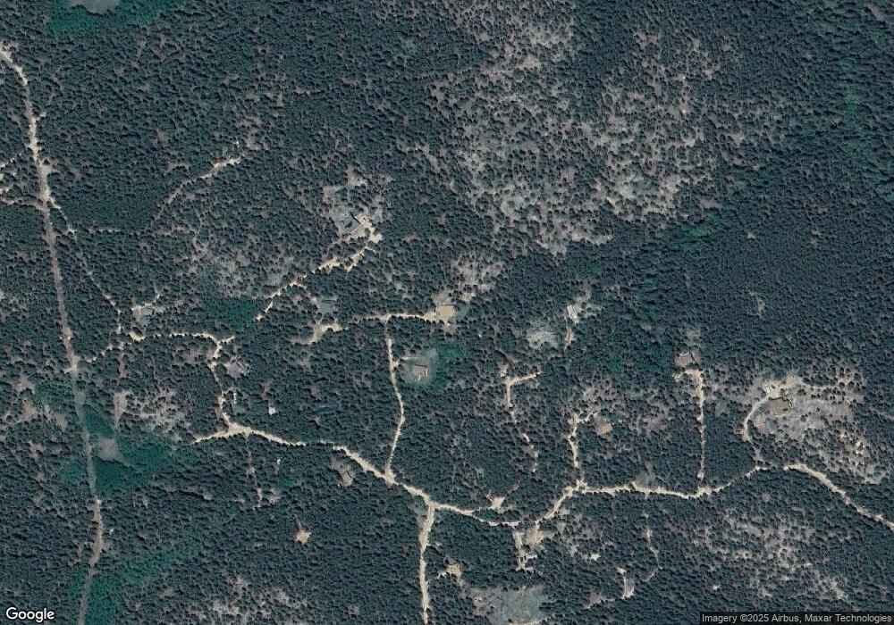
164 Mother Mountain Way Black Hawk, CO 80422
Estimated Value: $542,086 - $691,000
3
Beds
2
Baths
1,344
Sq Ft
$446/Sq Ft
Est. Value
About This Home
This home is located at 164 Mother Mountain Way, Black Hawk, CO 80422 and is currently estimated at $599,272, approximately $445 per square foot. 164 Mother Mountain Way is a home located in Gilpin County with nearby schools including Nederland Elementary School and Nederland Middle-Senior High School.
Ownership History
Date
Name
Owned For
Owner Type
Purchase Details
Closed on
Mar 7, 2006
Sold by
Selove Benjamin and Bleckman Sheera
Bought by
Bleckman Sheera
Current Estimated Value
Home Financials for this Owner
Home Financials are based on the most recent Mortgage that was taken out on this home.
Original Mortgage
$183,000
Outstanding Balance
$102,689
Interest Rate
6.05%
Mortgage Type
New Conventional
Estimated Equity
$496,583
Purchase Details
Closed on
May 18, 2005
Sold by
Sclove Benjamin
Bought by
Sclove Benjamin and Bleckman Sheera
Create a Home Valuation Report for This Property
The Home Valuation Report is an in-depth analysis detailing your home's value as well as a comparison with similar homes in the area
Home Values in the Area
Average Home Value in this Area
Purchase History
| Date | Buyer | Sale Price | Title Company |
|---|---|---|---|
| Bleckman Sheera | -- | -- | |
| Sclove Benjamin | -- | -- | |
| Selove Benjamin | -- | -- |
Source: Public Records
Mortgage History
| Date | Status | Borrower | Loan Amount |
|---|---|---|---|
| Open | Bleckman Sheera | $183,000 |
Source: Public Records
Tax History Compared to Growth
Tax History
| Year | Tax Paid | Tax Assessment Tax Assessment Total Assessment is a certain percentage of the fair market value that is determined by local assessors to be the total taxable value of land and additions on the property. | Land | Improvement |
|---|---|---|---|---|
| 2024 | $2,207 | $33,040 | $3,010 | $30,030 |
| 2023 | $2,207 | $33,040 | $3,010 | $30,030 |
| 2022 | $1,926 | $26,380 | $2,920 | $23,460 |
| 2021 | $1,891 | $27,140 | $3,000 | $24,140 |
| 2020 | $1,671 | $23,840 | $3,000 | $20,840 |
| 2019 | $1,568 | $23,840 | $3,000 | $20,840 |
| 2018 | $1,268 | $18,870 | $2,810 | $16,060 |
| 2017 | $1,246 | $18,870 | $2,810 | $16,060 |
| 2016 | $1,160 | $17,280 | $3,180 | $14,100 |
| 2015 | -- | $17,280 | $3,180 | $14,100 |
| 2014 | -- | $16,960 | $2,550 | $14,410 |
Source: Public Records
Map
Nearby Homes
- 200 Kimwood
- Lot 028 Sunflower Rd Unit 28
- 00 Sunflower Rd
- 850 Lupine Place
- 2476 S Beaver Creek Rd
- 133 Black Bear Trail
- 11 Eagles Nest Ln
- 0 S Beaver Creek Rd Unit N001518 REC3778368
- 291 Creekwood Trail
- 800 Highway 72
- 72 Rudi Ln W
- 470 Creekwood Trail
- 582 Pactolus Lake Rd
- 591 Creekwood Trail
- 401 Highway 72
- 1001 Pactolus Lake Rd
- 24 Signal Rock Rd
- 1006 Damascus Rd
- 87 Olde Carter Lake Rd
- 306 Olde Carter Lake Rd
- 164 Mother Mountain Way
- 104 Mother Mountain Way
- 165 Mother Mountain Way
- 660 Taylor Dr
- 21 Lupine Place
- 350 Taylor Dr
- 440 Taylor Dr
- 367 Taylor Dr
- 14 Aspen Trail
- 494 Taylor Dr
- 119 Lupine Place
- 44 Aspen Cir
- 266 Taylor Dr
- 48 Lupine Place
- 498 Taylor Dr
- 130 Greystone Trail
- 47 Aspen Trail
- 95 Geranium Way
- 0 Geranium Lot 1 Way Unit 569580
- 0 Geranium Lot 1 Way Unit 629013
