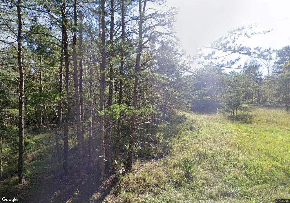
164 N Coal Mine Rd Unit A Cloudland, GA 30731
Estimated Value: $153,737 - $306,000
--
Bed
1
Bath
1,294
Sq Ft
$158/Sq Ft
Est. Value
About This Home
This home is located at 164 N Coal Mine Rd Unit A, Cloudland, GA 30731 and is currently estimated at $204,684, approximately $158 per square foot. 164 N Coal Mine Rd Unit A is a home located in Chattooga County with nearby schools including Chattooga High School.
Ownership History
Date
Name
Owned For
Owner Type
Purchase Details
Closed on
Aug 24, 2006
Sold by
Holbrook Vera Kaye
Bought by
Holbroo Lebron J C
Current Estimated Value
Home Financials for this Owner
Home Financials are based on the most recent Mortgage that was taken out on this home.
Original Mortgage
$26,548
Interest Rate
6.55%
Mortgage Type
New Conventional
Purchase Details
Closed on
Jul 5, 2006
Sold by
Not Provided
Bought by
Albers Robert
Home Financials for this Owner
Home Financials are based on the most recent Mortgage that was taken out on this home.
Original Mortgage
$26,548
Interest Rate
6.55%
Mortgage Type
New Conventional
Create a Home Valuation Report for This Property
The Home Valuation Report is an in-depth analysis detailing your home's value as well as a comparison with similar homes in the area
Home Values in the Area
Average Home Value in this Area
Purchase History
| Date | Buyer | Sale Price | Title Company |
|---|---|---|---|
| Holbroo Lebron J C | -- | -- | |
| Albers Robert | $83,500 | -- | |
| Albers Robert | -- | -- |
Source: Public Records
Mortgage History
| Date | Status | Borrower | Loan Amount |
|---|---|---|---|
| Previous Owner | Albers Robert | $26,548 |
Source: Public Records
Tax History Compared to Growth
Tax History
| Year | Tax Paid | Tax Assessment Tax Assessment Total Assessment is a certain percentage of the fair market value that is determined by local assessors to be the total taxable value of land and additions on the property. | Land | Improvement |
|---|---|---|---|---|
| 2024 | $347 | $40,712 | $11,160 | $29,552 |
| 2023 | $997 | $40,712 | $11,160 | $29,552 |
| 2022 | $578 | $23,579 | $8,641 | $14,938 |
| 2021 | $481 | $18,086 | $7,330 | $10,756 |
| 2020 | $506 | $18,086 | $7,330 | $10,756 |
| 2019 | $519 | $18,086 | $7,330 | $10,756 |
| 2018 | $353 | $12,791 | $4,286 | $8,505 |
| 2017 | $397 | $13,687 | $4,115 | $9,572 |
| 2016 | $350 | $13,686 | $4,114 | $9,572 |
| 2015 | $369 | $13,826 | $4,114 | $9,712 |
| 2014 | $369 | $13,827 | $4,115 | $9,712 |
| 2013 | -- | $13,826 | $4,114 | $9,712 |
Source: Public Records
Map
Nearby Homes
- 0 Ga Hwy 157 Unit LotWP001
- 0 Gilreath Mill Rd Unit 10570910
- LOT 270 Gilreath Mill Rd
- 168 State Line Rd
- 414 County Road 635
- 0 Georgia 157 Unit 7656573
- 98 Gadsden Ave
- 51 N Cedar St
- 4.5 ACRES County Road 632
- 1552 County Road 632
- 895 Hidden Brow Rd
- 180 acres County Road 641
- 1059 County Road 639
- 16 Hemphill Rd
- 11085 County Road 103
- 223 S Brow Dr
- 302 High Rd
- 3315 County Road 106
- 3599 Alabama 117
- 3 +/- Acres County Road 106
- 164 N Coal Mine Rd
- 2900 State Line Rd
- 2900 State Line Rd Unit A
- 6 N Coal Mine Rd
- 297 N Coal Mine Rd
- 162 N Coal Mine Rd
- 162 N Coal Mine Rd
- 57 N Coal Mine Rd
- 2840 State Line Rd
- 2878 State Line Rd
- 2994 State Line Rd
- 3116 State Line Rd
- 767 Mississippi Ave
- 0 N Coal Mine Rd Unit 8506232
- 0 N Coal Mine Rd Unit 8668531
- 00 N Coal Mine Rd
- 2702 State Line Rd
- 2506 State Line Rd
- 2502 State Line Rd
- 159 Turkey Ridge Rd
