164 Rocking A Ln Fredericksburg, TX 78624
Estimated Value: $249,140 - $2,048,000
--
Bed
1
Bath
1,200
Sq Ft
$638/Sq Ft
Est. Value
About This Home
This home is located at 164 Rocking A Ln, Fredericksburg, TX 78624 and is currently estimated at $765,035, approximately $637 per square foot. 164 Rocking A Ln is a home located in Gillespie County with nearby schools including Fredericksburg High School, Heritage School, and Ambleside School of Fredericksburg.
Ownership History
Date
Name
Owned For
Owner Type
Purchase Details
Closed on
Sep 28, 2007
Sold by
Smith Michael Edward and Smith Michel E
Bought by
Jenkins Ralph H and Jenkins Christiane M
Current Estimated Value
Home Financials for this Owner
Home Financials are based on the most recent Mortgage that was taken out on this home.
Original Mortgage
$173,900
Outstanding Balance
$110,608
Interest Rate
6.66%
Mortgage Type
New Conventional
Estimated Equity
$654,427
Create a Home Valuation Report for This Property
The Home Valuation Report is an in-depth analysis detailing your home's value as well as a comparison with similar homes in the area
Home Values in the Area
Average Home Value in this Area
Purchase History
| Date | Buyer | Sale Price | Title Company |
|---|---|---|---|
| Jenkins Ralph H | -- | None Available |
Source: Public Records
Mortgage History
| Date | Status | Borrower | Loan Amount |
|---|---|---|---|
| Open | Jenkins Ralph H | $173,900 |
Source: Public Records
Tax History Compared to Growth
Tax History
| Year | Tax Paid | Tax Assessment Tax Assessment Total Assessment is a certain percentage of the fair market value that is determined by local assessors to be the total taxable value of land and additions on the property. | Land | Improvement |
|---|---|---|---|---|
| 2025 | $2,694 | $257,380 | $16,730 | $240,650 |
| 2024 | $2,694 | $245,190 | $16,730 | $228,460 |
| 2023 | $2,618 | $247,040 | $18,580 | $228,460 |
| 2022 | $3,070 | $236,420 | $13,750 | $222,670 |
| 2021 | $3,009 | $205,240 | $10,460 | $194,780 |
| 2020 | $2,635 | $176,210 | $11,080 | $165,130 |
| 2019 | $2,743 | $175,670 | $10,540 | $165,130 |
| 2018 | $2,601 | $167,410 | $7,840 | $159,570 |
| 2017 | $2,513 | $167,410 | $7,840 | $159,570 |
| 2016 | $2,284 | $143,820 | $7,440 | $136,380 |
| 2015 | -- | $135,990 | $7,440 | $128,550 |
| 2014 | -- | $123,540 | $6,020 | $117,520 |
Source: Public Records
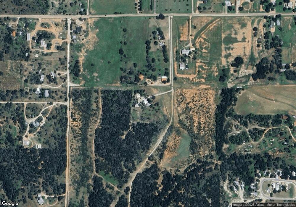
Map
Nearby Homes
- 554 Springfield Rd Unit 10
- 554 Springfield Rd
- 208 Danos Dr
- 0 W Live Oak St
- 103 Grove Ct Unit 2
- 144 Feather Way
- 126 Feather Way
- 608 W Live Oak St
- 121 Feather Way
- 382 Windsong Ln
- 710 Tranquility Ln
- 110 Madrona Ln
- 109 Madrona Ln
- 701 Grace Ln
- 109 Feather Way
- 106 Madrona
- 105 Parlin Ln
- 1918 Upper Liveoak Rd
- 271 Smokehouse Rd
- 204 Windmill Oaks Ave
- 2015 W Live Oak St
- 1969 W Live Oak St
- 2211 W Live Oak St
- 142 Arlt Ln
- 186 Arlt Ln
- 1940 W Live Oak St
- 50 Arlt Ln
- 1890 W Live Oak St
- 384 Arlt Ln
- 2347 W Live Oak St
- 1793 W Live Oak St
- 176 Lds Ln
- 1788 W Live Oak St
- 1788 W Live Oak St
- 1788 W Live Oak St
- 290 Kerr Rd
- 44 Lds Ln
- 1729 W Live Oak St
- 1740 W Live Oak St Unit ID1253746P
- 1736 W Live Oak St Unit ID1253746P