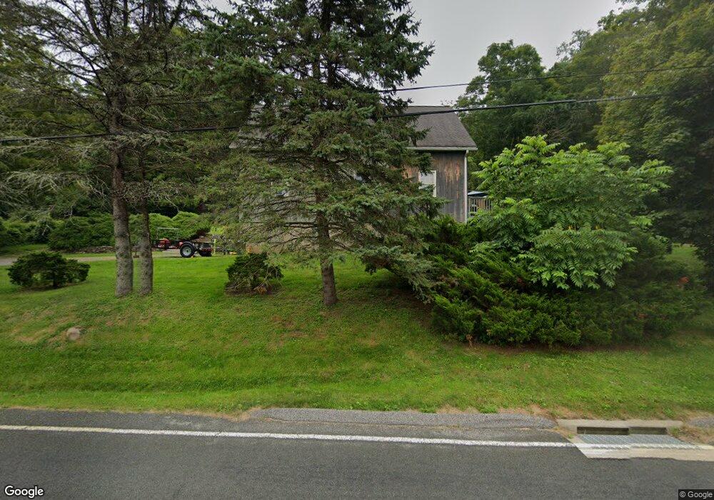
164 Route 39 N Sherman, CT 06784
Estimated Value: $450,819 - $634,000
2
Beds
2
Baths
1,736
Sq Ft
$302/Sq Ft
Est. Value
About This Home
This home is located at 164 Route 39 N, Sherman, CT 06784 and is currently estimated at $524,205, approximately $301 per square foot. 164 Route 39 N is a home located in Fairfield County with nearby schools including Sherman School.
Ownership History
Date
Name
Owned For
Owner Type
Purchase Details
Closed on
May 3, 1994
Sold by
Baxter Brooke D and Baxter Rosalie M
Bought by
Alexander Bruce M and Baxter Laura A
Current Estimated Value
Create a Home Valuation Report for This Property
The Home Valuation Report is an in-depth analysis detailing your home's value as well as a comparison with similar homes in the area
Home Values in the Area
Average Home Value in this Area
Purchase History
| Date | Buyer | Sale Price | Title Company |
|---|---|---|---|
| Alexander Bruce M | $140,000 | -- |
Source: Public Records
Mortgage History
| Date | Status | Borrower | Loan Amount |
|---|---|---|---|
| Open | Alexander Bruce M | $110,000 | |
| Closed | Alexander Bruce M | $75,000 | |
| Closed | Alexander Bruce M | $25,000 | |
| Closed | Alexander Bruce M | $193,000 |
Source: Public Records
Tax History Compared to Growth
Tax History
| Year | Tax Paid | Tax Assessment Tax Assessment Total Assessment is a certain percentage of the fair market value that is determined by local assessors to be the total taxable value of land and additions on the property. | Land | Improvement |
|---|---|---|---|---|
| 2025 | $3,826 | $229,500 | $71,300 | $158,200 |
| 2024 | $3,755 | $229,500 | $71,300 | $158,200 |
| 2023 | $4,090 | $229,500 | $71,300 | $158,200 |
| 2022 | $4,172 | $229,500 | $71,300 | $158,200 |
| 2021 | $4,278 | $229,500 | $71,300 | $158,200 |
| 2020 | $22,600 | $229,500 | $71,300 | $158,200 |
| 2019 | $4,546 | $229,500 | $71,300 | $158,200 |
| 2018 | $21,830 | $231,000 | $75,200 | $155,800 |
| 2017 | $19,451 | $227,200 | $75,200 | $152,000 |
| 2016 | $4,618 | $227,150 | $75,180 | $151,970 |
| 2015 | $4,384 | $218,750 | $75,180 | $143,570 |
| 2014 | $4,340 | $218,750 | $75,180 | $143,570 |
Source: Public Records
Map
Nearby Homes
- 55 Colonial Ridge Dr
- 00 Anderson Rd
- 16 Gaylord Rd
- 1 Cloverleaf Farm S
- 48 Gaylord Rd
- 43 Gaylord Rd
- 685 Kent Rd
- 696 Kent Rd
- 31 Cedar Hill Rd
- 612 Kent Rd
- 60 Long River Rd
- 41 Long River Rd
- 49 Quaker Ridge Rd
- 1 Hoyt Rd
- 107 Church Rd
- 42 Long River Rd
- 27 Meadowland Dr
- 73 Long River Rd
- 34 Front of the Mountain Rd
- 5 Lyric Ln
- 162 Route 39 N
- 168 Route 39 N
- 160 Route 39 N
- 8 Pilgrims Way
- 8 Pilgrims Way
- 12 Pilgrims Way
- 10 Pilgrims Way
- 14 Pilgrims Way
- 2 Route 55 E
- 4 Pilgrims Way
- 154 Route 39 N
- 2 Pilgrims Way
- 9 Pilgrims Way
- 157 Route 39 N
- 1 Pilgrims Way
- 13 Pilgrims Way
- 48 Colonial Ridge Dr
- 43 Colonial Ridge Dr
- 44 Colonial Ridge Dr
- 50 Colonial Ridge Dr