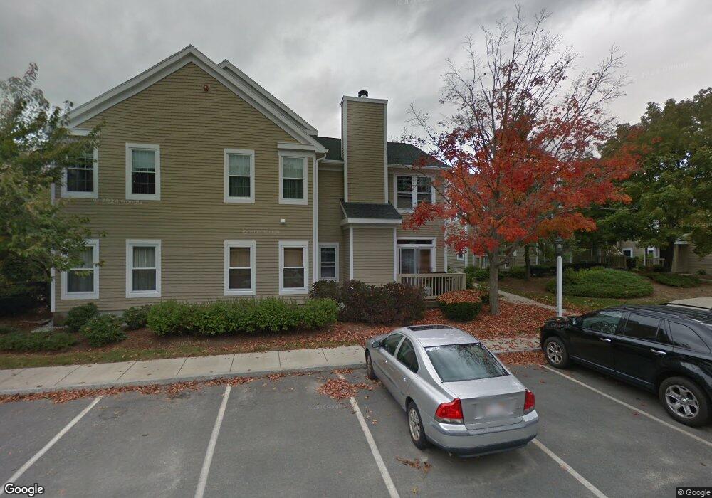
164 Tyson Commons Ln Braintree, MA 02184
South Braintree NeighborhoodEstimated Value: $507,484 - $543,000
3
Beds
2
Baths
1,286
Sq Ft
$408/Sq Ft
Est. Value
About This Home
This home is located at 164 Tyson Commons Ln, Braintree, MA 02184 and is currently estimated at $524,371, approximately $407 per square foot. 164 Tyson Commons Ln is a home located in Norfolk County with nearby schools including Braintree High School, First Baptist Christian School, and CATS Academy Boston.
Ownership History
Date
Name
Owned For
Owner Type
Purchase Details
Closed on
Sep 6, 2007
Sold by
Smith Gordon T and Smith June S
Bought by
Smith Gordon T and Smith June S
Current Estimated Value
Purchase Details
Closed on
Jul 22, 1999
Sold by
Department Of Housing & Urban Dev
Bought by
Smith Gordon T and Smith June S
Home Financials for this Owner
Home Financials are based on the most recent Mortgage that was taken out on this home.
Original Mortgage
$161,150
Interest Rate
7.49%
Mortgage Type
Purchase Money Mortgage
Purchase Details
Closed on
Jul 1, 1997
Sold by
Thomas Jeanne F
Bought by
Norwest Mtg Inc
Purchase Details
Closed on
Aug 3, 1995
Sold by
Leonardo Antone
Bought by
Prudential Residential
Create a Home Valuation Report for This Property
The Home Valuation Report is an in-depth analysis detailing your home's value as well as a comparison with similar homes in the area
Home Values in the Area
Average Home Value in this Area
Purchase History
| Date | Buyer | Sale Price | Title Company |
|---|---|---|---|
| Smith Gordon T | -- | -- | |
| Smith Gordon T | $179,110 | -- | |
| Norwest Mtg Inc | $140,270 | -- | |
| Prudential Residential | $126,000 | -- |
Source: Public Records
Mortgage History
| Date | Status | Borrower | Loan Amount |
|---|---|---|---|
| Previous Owner | Prudential Residential | $161,150 |
Source: Public Records
Tax History Compared to Growth
Tax History
| Year | Tax Paid | Tax Assessment Tax Assessment Total Assessment is a certain percentage of the fair market value that is determined by local assessors to be the total taxable value of land and additions on the property. | Land | Improvement |
|---|---|---|---|---|
| 2025 | $4,703 | $471,200 | $0 | $471,200 |
| 2024 | $4,199 | $442,900 | $0 | $442,900 |
| 2023 | $3,739 | $383,100 | $0 | $383,100 |
| 2022 | $3,546 | $356,400 | $0 | $356,400 |
| 2021 | $3,546 | $356,400 | $0 | $356,400 |
| 2020 | $3,369 | $341,700 | $0 | $341,700 |
| 2019 | $3,304 | $327,500 | $0 | $327,500 |
| 2018 | $3,180 | $301,700 | $0 | $301,700 |
| 2017 | $3,126 | $291,100 | $0 | $291,100 |
| 2016 | $2,964 | $269,900 | $0 | $269,900 |
| 2015 | $2,883 | $260,400 | $0 | $260,400 |
| 2014 | $2,812 | $246,200 | $0 | $246,200 |
Source: Public Records
Map
Nearby Homes
- 134 Tyson Commons Ln
- 30 Bradford Commons Ln
- 68 Massapoag St Unit 7
- 211 Randolph St
- 308 Forest St
- 16 Jay Rd
- 24 Fisher Rd
- 193 Randolph St
- 1501 Liberty St
- 30 Thetford Ave
- 441 Grove St
- 92 Mercury St
- 432 Grove St
- 972 Liberty St
- 22 Medallion Rd
- 262 West St
- 255 West St
- 117 Amherst Rd
- 256 Evergreen Ave
- 115 Richard Rd
- 180 Tyson Commons Ln
- 179 Tyson Commons Ln
- 178 Tyson Commons Ln
- 177 Tyson Commons Ln
- 176 Tyson Commons Ln
- 174 Tyson Commons Ln
- 173 Tyson Commons Ln
- 172 Tyson Commons Ln
- 171 Tyson Commons Ln
- 170 Tyson Commons Ln
- 169 Tyson Commons Ln
- 168 Tyson Commons Ln
- 167 Tyson Commons Ln
- 166 Tyson Commons Ln
- 165 Tyson Commons Ln
- 163 Tyson Commons Ln
- 162 Tyson Commons Ln
- 161 Tyson Commons Ln
- 160 Tyson Commons Ln
- 159 Tyson Commons Ln