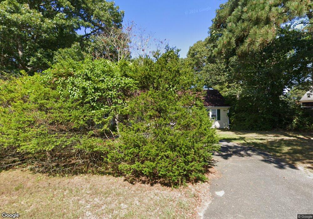
164 Weir Rd Yarmouth Port, MA 02675
Yarmouth Port NeighborhoodEstimated Value: $602,392 - $703,000
3
Beds
2
Baths
1,304
Sq Ft
$505/Sq Ft
Est. Value
About This Home
This home is located at 164 Weir Rd, Yarmouth Port, MA 02675 and is currently estimated at $658,848, approximately $505 per square foot. 164 Weir Rd is a home located in Barnstable County with nearby schools including Dennis-Yarmouth Regional High School, St. Pius X. School, and Trinity Christian Academy of Cape Cod.
Ownership History
Date
Name
Owned For
Owner Type
Purchase Details
Closed on
Sep 7, 2022
Sold by
Major Babes Rt
Bought by
Major Babes Ft
Current Estimated Value
Purchase Details
Closed on
Nov 9, 2011
Sold by
Smith Carol B
Bought by
Major Babes Rt and Smith Carol B
Purchase Details
Closed on
Jan 31, 2006
Sold by
Hyde Mary D
Bought by
Smith Carol B
Home Financials for this Owner
Home Financials are based on the most recent Mortgage that was taken out on this home.
Original Mortgage
$252,000
Interest Rate
6.34%
Mortgage Type
Purchase Money Mortgage
Create a Home Valuation Report for This Property
The Home Valuation Report is an in-depth analysis detailing your home's value as well as a comparison with similar homes in the area
Home Values in the Area
Average Home Value in this Area
Purchase History
| Date | Buyer | Sale Price | Title Company |
|---|---|---|---|
| Major Babes Ft | -- | None Available | |
| Major Babes Rt | -- | -- | |
| Smith Carol B | $315,000 | -- |
Source: Public Records
Mortgage History
| Date | Status | Borrower | Loan Amount |
|---|---|---|---|
| Previous Owner | Smith Carol B | $252,000 |
Source: Public Records
Tax History Compared to Growth
Tax History
| Year | Tax Paid | Tax Assessment Tax Assessment Total Assessment is a certain percentage of the fair market value that is determined by local assessors to be the total taxable value of land and additions on the property. | Land | Improvement |
|---|---|---|---|---|
| 2025 | $3,889 | $549,300 | $143,700 | $405,600 |
| 2024 | $3,868 | $524,100 | $151,400 | $372,700 |
| 2023 | $3,757 | $463,200 | $134,900 | $328,300 |
| 2022 | $3,515 | $382,900 | $121,400 | $261,500 |
| 2021 | $3,280 | $343,100 | $121,400 | $221,700 |
| 2020 | $3,192 | $319,200 | $121,400 | $197,800 |
| 2019 | $2,935 | $290,600 | $121,400 | $169,200 |
| 2018 | $2,759 | $268,100 | $98,900 | $169,200 |
| 2017 | $2,686 | $268,100 | $98,900 | $169,200 |
| 2016 | $2,586 | $259,100 | $89,900 | $169,200 |
| 2015 | $2,455 | $244,500 | $89,900 | $154,600 |
Source: Public Records
Map
Nearby Homes
- 8 Rowley Ln
- 209 Union St
- 32 Deveau Ln
- 1 Barnacle Rd
- 16 Warren Rd Unit 16
- 16 Warren Rd
- 86 Pompano Rd
- 24 Minnetuxet Way
- 882 W Yarmouth Rd
- 933-935 W Yarmouth Rd
- 25 Oak Glen
- 25 Oak Glen Village Unit 25
- 43 Canterbury Rd
- 0 Forsyth Ave
- 44 Stratford Ln
- 10 Balsam Way
- 2 Pine Grove
- 50 Cottonwood St
- 23 Dauphine Dr
- 7 Forest Gate Unit 7