164 Winthrop Rd Deep River, CT 06417
Estimated Value: $378,000 - $491,000
3
Beds
3
Baths
1,040
Sq Ft
$396/Sq Ft
Est. Value
About This Home
This home is located at 164 Winthrop Rd, Deep River, CT 06417 and is currently estimated at $411,764, approximately $395 per square foot. 164 Winthrop Rd is a home located in Middlesex County with nearby schools including Valley Regional High School.
Ownership History
Date
Name
Owned For
Owner Type
Purchase Details
Closed on
Aug 15, 2025
Sold by
Tomassetti Richard
Bought by
Tomassetti Richard and Tomassetti Catherine M
Current Estimated Value
Purchase Details
Closed on
Jun 25, 2002
Sold by
Mercurio Lucia M
Bought by
Tomassetti Richard
Home Financials for this Owner
Home Financials are based on the most recent Mortgage that was taken out on this home.
Original Mortgage
$120,000
Interest Rate
6.81%
Mortgage Type
Purchase Money Mortgage
Create a Home Valuation Report for This Property
The Home Valuation Report is an in-depth analysis detailing your home's value as well as a comparison with similar homes in the area
Home Values in the Area
Average Home Value in this Area
Purchase History
| Date | Buyer | Sale Price | Title Company |
|---|---|---|---|
| Tomassetti Richard | -- | -- | |
| Tomassetti Richard | $180,000 | -- | |
| Tomassetti Richard | $180,000 | -- |
Source: Public Records
Mortgage History
| Date | Status | Borrower | Loan Amount |
|---|---|---|---|
| Previous Owner | Tomassetti Richard | $129,700 | |
| Previous Owner | Tomassetti Richard | $116,699 | |
| Previous Owner | Tomassetti Richard | $120,000 |
Source: Public Records
Tax History
| Year | Tax Paid | Tax Assessment Tax Assessment Total Assessment is a certain percentage of the fair market value that is determined by local assessors to be the total taxable value of land and additions on the property. | Land | Improvement |
|---|---|---|---|---|
| 2025 | $5,733 | $179,270 | $54,530 | $124,740 |
| 2024 | $5,625 | $179,270 | $54,530 | $124,740 |
| 2023 | $5,357 | $179,270 | $54,530 | $124,740 |
| 2022 | $5,195 | $179,270 | $54,530 | $124,740 |
| 2021 | $5,303 | $179,270 | $54,530 | $124,740 |
| 2020 | $5,236 | $174,580 | $54,880 | $119,700 |
| 2019 | $5,163 | $175,490 | $54,880 | $120,610 |
| 2018 | $4,938 | $175,490 | $54,880 | $120,610 |
| 2017 | $5,075 | $175,490 | $54,880 | $120,610 |
| 2016 | $4,831 | $175,490 | $54,880 | $120,610 |
| 2015 | $5,004 | $190,400 | $55,580 | $134,820 |
| 2014 | $4,928 | $190,400 | $55,580 | $134,820 |
Source: Public Records
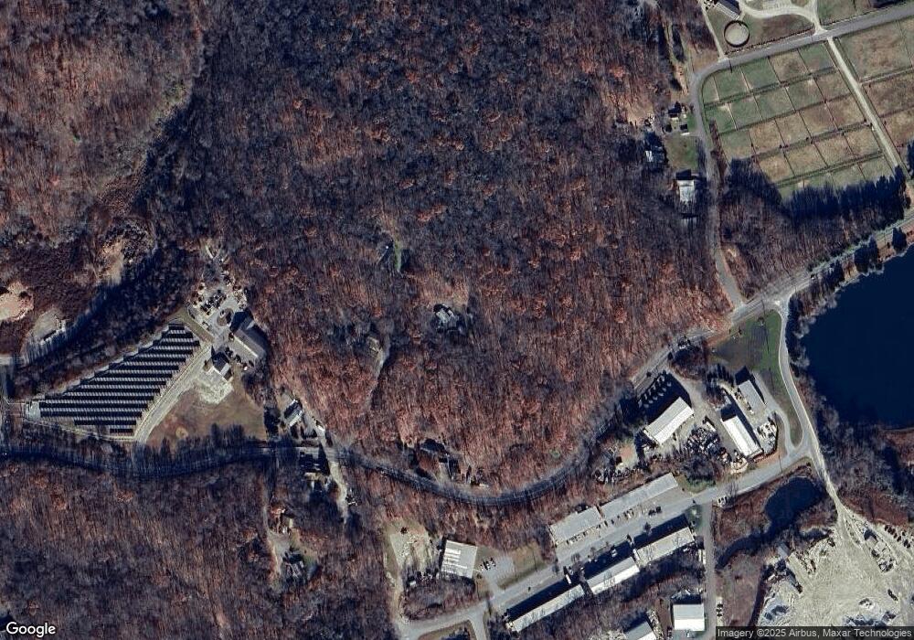
Map
Nearby Homes
- 166 Winthrop Rd
- 142 Winthrop Rd
- 168 Winthrop Rd
- 172 Winthrop Rd
- 171 Winthrop Rd
- 1000 Industrial Park Rd
- 121 Winthrop Rd
- 430 Industrial Park Rd
- 177 Winthrop Rd
- 900 Industrial Park Rd Unit 2
- 900 Industrial Park Rd Unit 5
- 900 Industrial Park Rd Unit 7 & 8
- 900 Industrial Park Rd Unit 3 & 4
- 900 Industrial Park Rd Unit 1 & 2
- 108 Bahr Rd
- 500 Industrial Park Rd Unit 500
- 200 Industrial Park Rd
- 106 Bahr Rd
- 200 Commercial Dr
- 300 Commercial Dr
Your Personal Tour Guide
Ask me questions while you tour the home.